Get to know the photo book "The Most Beautiful Trails of Patagonia"
The Most Beautiful Trails of Patagonia – Travel report
This is the report of a six-month trip through Patagonia, with the goal of photographing the most beautiful hikes and publishing a book, which was published in November 2020. To see the description and some photos of the book, click on the banner at the top of the page. In this report there are many photos that are not part of the book because here I am telling the day to day of the trip, including many places that are not in the book.
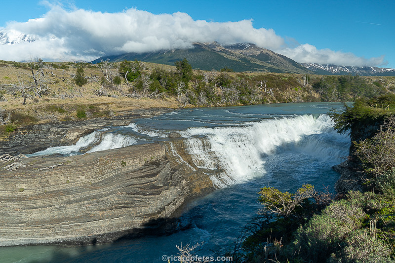
The idea of tihs project began after a trip to Torres del Paine, Chile. Completely fascinated by the region, I soon started researching which are the most beautiful trails and realized that there is no consensus among specialized magazines and websites, except for Torres del Paine and El Chaltén, the most famous spots in Chile and Argentina. This disagreement happens not only because beauty is subjective, but because very few people know all the major trails of Patagonia. As the list kept growing, I decided to go through all the hikes described as the most beautiful by different publications so that I could choose according to my own opinion.
Some trails were already defined and others were added to the list during the trip, seeing the surroundings and talking to local mountaineers.
Besides the hiking, I also had the chance to photograph many attractions along Ruta 40 and Carretera Austral, the most beautiful roads in Argentina and Chile.
The trip started on October 1st, 2019 and ended at the end of March 2020, a little earlier than expected due to the COVID-19 pandemic. Although the main objective of the trip was to document the hikes, the trips were made by car in order to be able to carry different photographic equipment, as well as mountaineering and hiking gear to different climates, in addition to a good (and large) notebook for editing the images. Another reason for going by car is because I like the freedom of going wherever I want, whenever I want and stopping wherever I want, which I wouldn’t be able to do if I went by plane and bus. The car used was a Jimny, which is a small Suzuki 4WD, but if you also want to do a trip like this, the roads in Patagonia are good and it is not necessary to have a 4WD.
The book The Most Beautiful Trails of Patagonia was published in November 2020, has 150 photos spread over 140 pages measuring 30 cm x 30 cm, hardcover and texts in English and Portuguese. Click on the link to see many photos that are part of the book and also to read tips for planning your trip: https://ricardoferes.com/trilhas-patagonia-en/
Click on the titles below to open the corresponding report.
01 to 04/10/2019 - From São Sebastião (Brazil) to Bariloche (Argentina)

Jimny at Rio-Santos road, leaving São Sebastião.
It took me 4 days driving from São Sebastião, in Brazil, to Bariloche, Argentina, my first destination in Patagonia. The distance covered in these 4 days was 3,933 km (2,443 mi) in 49 hours and 35 minutes, not counting the stops to fill up the car and the driver.
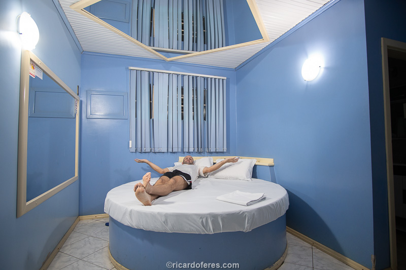
At the end of the first day, around 22:00, when I was already tired, I saw the sign “Special prices for travelers” in a motel. I had no doubt, because in addition to loving special prices, it’s great to have the car very close when it’s full of equipment.
I like driving on the road and taking long trips by car, but I can’t say that those days were fun, since the only beautiful places were the ones at the beginning, very close to my house, and at the end of the fourth day, driving the last 200 km until arriving in Bariloche, when the lakes and the beautiful mountains of the Andes began.
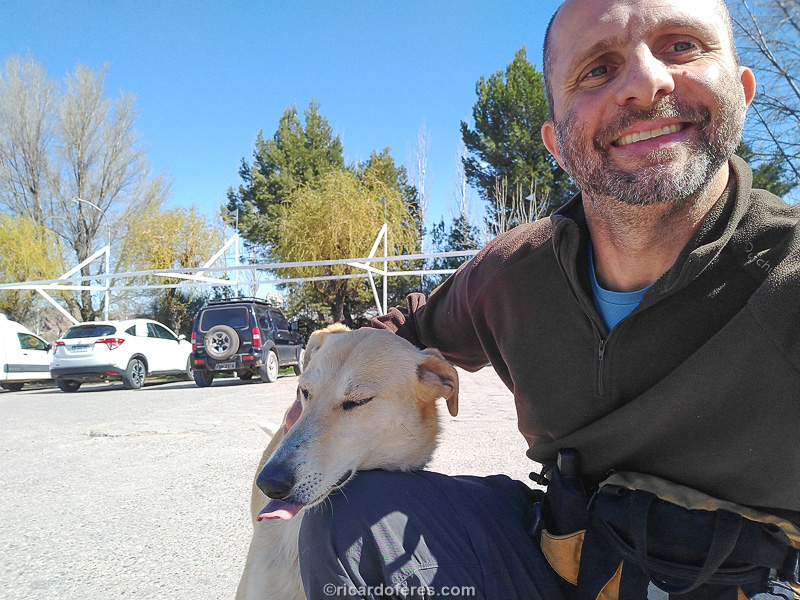
A friend I made on that trip who tried to get into the car, I think he wanted to be adopted.
During those almost 4,000 km (2,500 mi) there was a lot of sun at first, then a lot of rain but, fortunately, the only unforeseen event happened when I was finally entering Patagonia, when I tried to cross the Colorado River. On the 3rd I decided that I would sleep a little before that river, so I would cross it early and arrive in Bariloche still in the middle of the afternoon, with time to go to Club Andino Bariloche to get updated information about the trails. I woke up with a temperature of only 2 degrees and I left without even having breakfast, I would do that a little later, but after driving for an hour and arriving at the bridge that crosses the Colorado River, it had been closed to resurface the asphalt. No warnings on the road, imagine the frustration when they tell me “if you had arrived 10 minutes earlier, you would have crossed”. Anyway, I turned back and took a gravel road for 80 km (50 mi) until I reached another paved road and headed south again. I must have only lost an hour and a half, but it was enough time to not be able to find Club Andino open, so I relaxed and drove slowly, stopping at several places to take pictures.
On the third night, already in Argentina, I slept in another motel, but this one does justice to the original name, which comes from the USA and is the combination of hotel + motor, that is, the car is next to the door of the room.
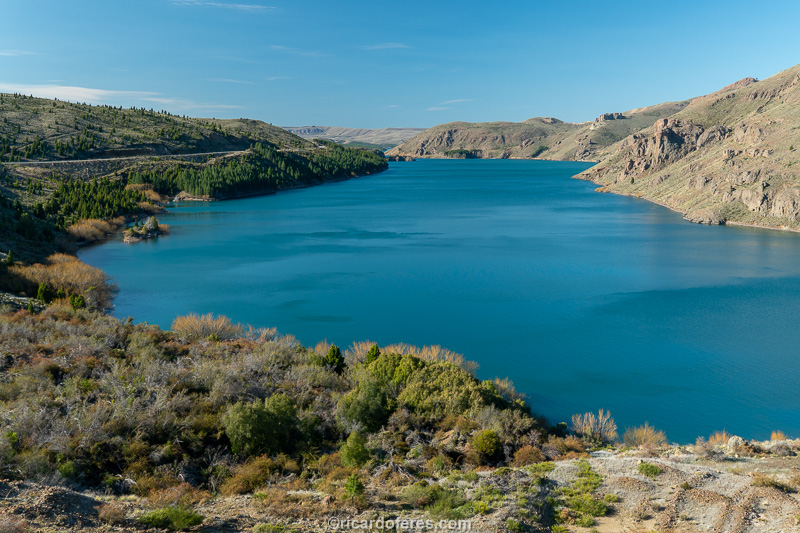
Alicurá dam.
Alicurá dam.
Limay river.
Interesting is the difference in police inspection on Argentine and Brazilian roads. While in Brazil I didn’t see the police stopping cars anywhere, in Argentina, only on the first day, I saw 5 places with the policemen stopping cars. In one of them I was stopped and the police asked for the documents and also the fire extinguisher. Seeing that everything was correct, he asked:
-Coming from?
-São Paulo (he wouldn’t know if I spoke São Sebastião).
-Where are you going?
-Bariloche.
-Alone? (looking at the passenger seat crammed with food, cameras, etc.)
-Yea.
-Where’s your girl?
-I want to know too.
-She’s waiting for you in Bariloche. (And then he started giving tips on other places to visit in Argentina)
This is my second trip to Argentina by car, I’ve been stopped several times and the policemen have always been honest and friendly, ending the bad impression that many Brazilians had given me with stories of corruption and extortion.
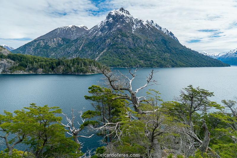
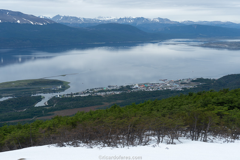
05 to 07/10/2019 - Bariloche (Argentina)
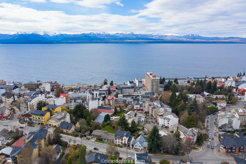
Bariloche and Nahuel Huapi Lake
After 4 days on the road, driving an average of 12 hours a day, it was a relief to arrive in Bariloche and be warmly welcomed by Anibal and Andrea, the owners of Hostería La Pastorella, who hosted me for three nights in their cozy inn.
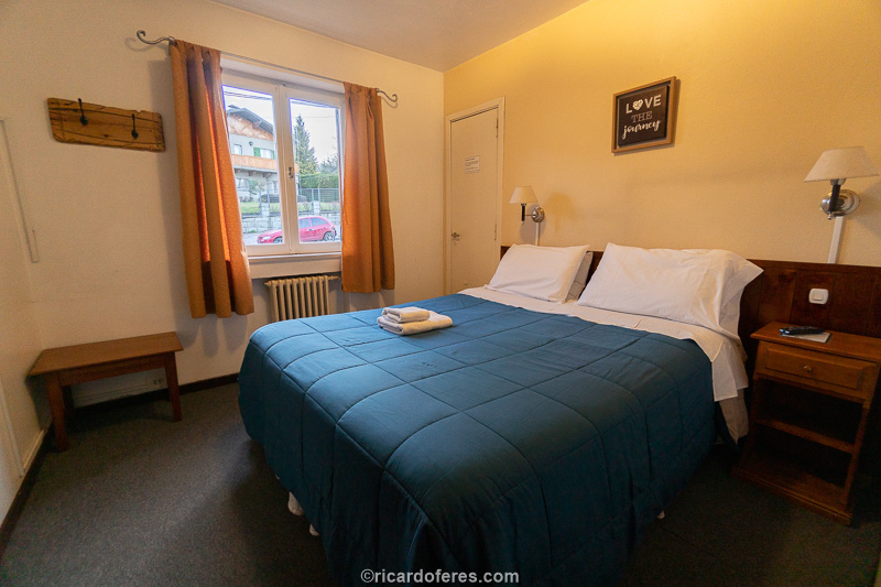
My room at Hostería La Pastorella
On the first day I wanted to climb Cerro Campanário, which has one of the most beautiful views of Bariloche, but as it was cloudy and it would probably rain, I gave up. After all, I took a photo of the Campanário in bad weather a few years ago, when I was in Bariloche for the first time, with my (at that time) girlfriend. I decided to drive a little along some roads that I hadn’t been on my previous trip.
Nahuel Huapi Lake seen from Circuito Chico, unfortunately on a cloudy day
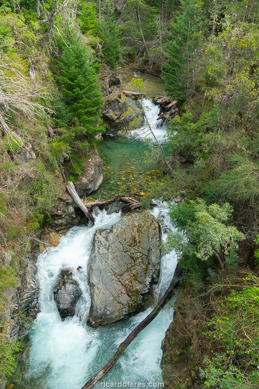
Waterfalls at Arroyo Goye seen from the road
At the end of the day, as the weather was getting better, I drove up Cerro Otto and then did a short hike to watch the sunset overlooking the lakes and Cerro Catedral. My mistake was forgetting that I was already in Patagonia and it was going to get really cold, which didn’t take long to happen. Two pairs of gloves in the suitcase and none with me, a beginner’s mistake… When I was returning to the car, I saw that the GPS thermometer was showing 1 ºC (33 ºF), not counting the very strong wind. Lesson learned!
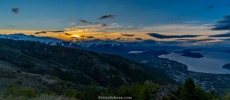
Sunset seen from Cerro Otto
The second day dawned as expected, with light but constant rain, so I slept a lot, edit the photos and wrote for a while. At the end of the day, I went for on the center and, at night, for a dinner at Familia de Caso restaurant. It wasn’t difficult to choose what to eat, after all, I’m in Argentina and I had to taste a good meat.
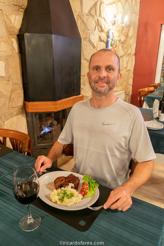
Delicious steak at Familia de Caso restaurant
On the morning of October 07 I had to hit the road again, but despite loving Bariloche, it wasn’t a difficult departure, since I knew that I would stop here again in the end of the trip, to do two hikes in the National Park.
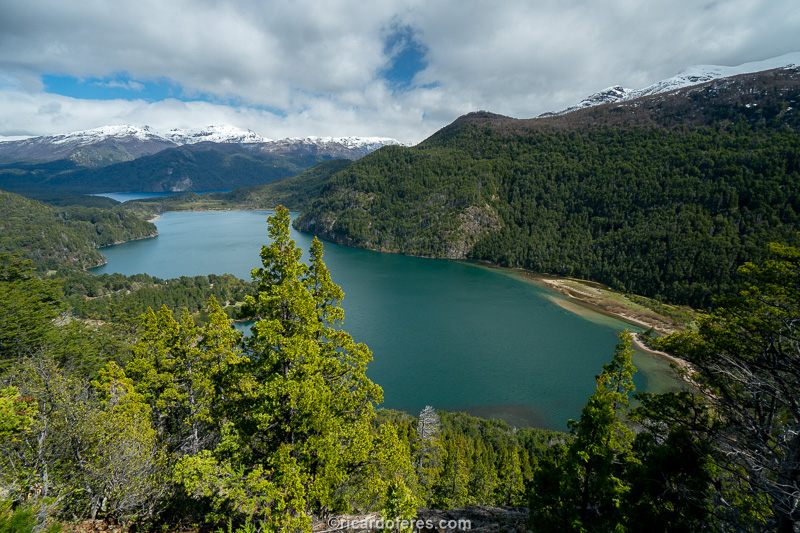
Gutiérrez Lake and Nahuel Huapi National Park
07 to 09/10/2019 - Los Alerces National Park (Argentina)
Arriving at Los Alerces via the north gate
Since the weather made me postpone the hike I wanted to do in Bariloche, I decided to use those days to go to Los Alerces National Park, which was planned to be visited at the end of the trip, reversing the sequence but not excluding anything.
Beach at Punta Mattos, with access by a good dirt road
Lake Futalaufquen and the road that runs through the park from north to south
At first, the frustration was great, but the view from the road that cross the park is so beautiful that I even liked the idea of seeing beautiful landscapes without making any effort, and also because there are some viewpoints and waterfalls that can be reached by very short walks.
Viewpoint to Lago Verde (north of the park), reached by a trail of approximately 1.5 km (1 mi) round trip
Irigoyen Waterfall, reached by a trail even shorter than the one to Lago Verde
The road is paved throughout most of the park and the dirt roads are in good condition. Within Los Alerces there are hotels, inns, cabins and campsites and, in the summer, there are boat trips on Lake Futalaufquen, which has an average depth of 150 meters (500 ft) and is very popular with fly-fishing fishermen.
Lake Futalaufquen
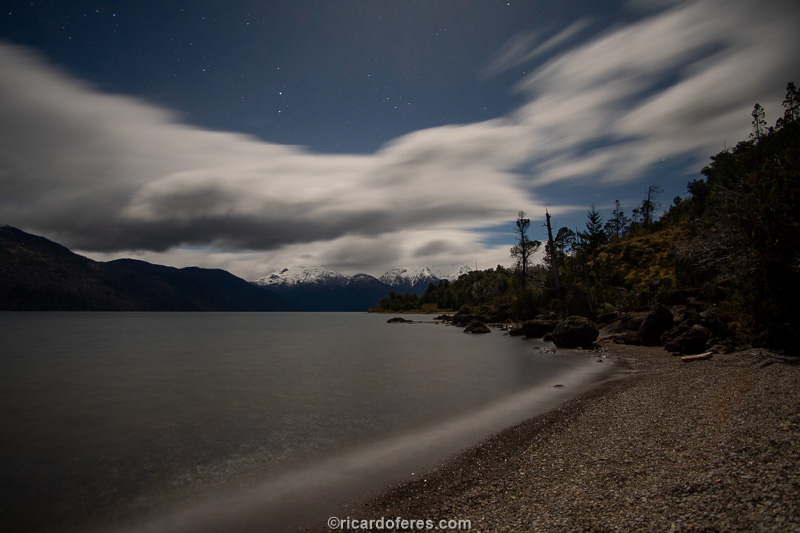
Coyhue Viejo beach under the moonlight
Arrayanes river seen from the bridge
As I couldn’t climb the mountains, two nights were enough, but in summer the ideal is to spend at least 4 days to get to know both the trails and the lakes. Since at the beginning of October this was not an option, I took the road and headed to El Chaltén, the trekking capital of Argentina.
Los Pozones, at the southern end of the National Park
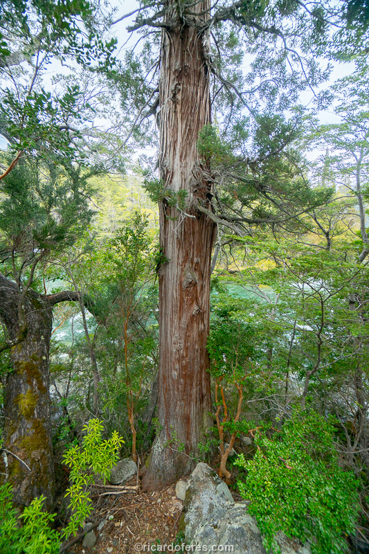
This is an alerce, the tree that gave the park its name and is considered one of the oldest living beings on Earth. This one is approximately “only” 300 years old, but the oldest is approximately 2,600 years old! To see the oldest tree you have to take a boat, which only works in the summer.
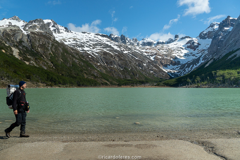
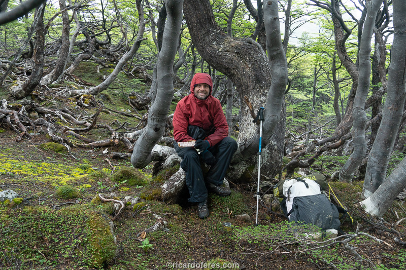
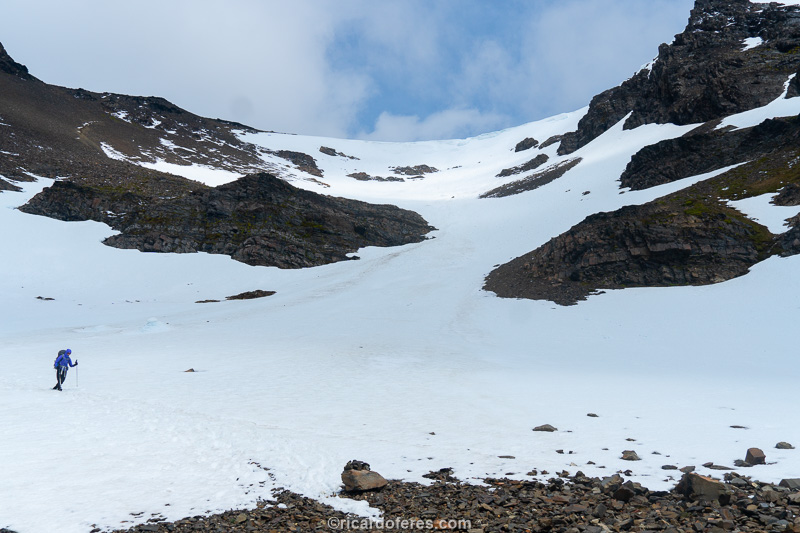
10 to 16/10/2019 - El Chaltén (Argentina)
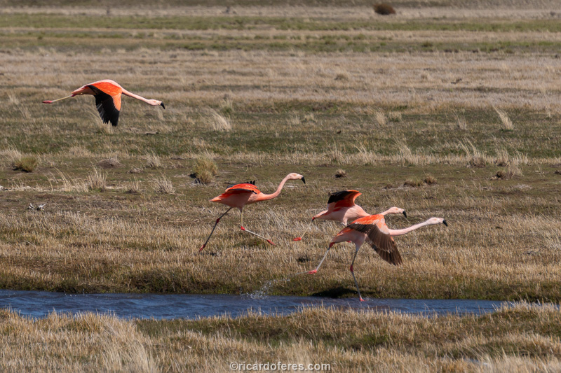
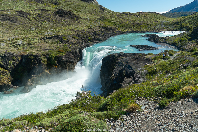
The road to El Chaltén had several encounters with flamingos and guanacos. This is one of the 150 photos of the book The Most Beautiful Trails of Patagonia, click to see it.
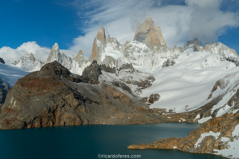
For years I’ve been curious to get to know El Chaltén, a charming village that calls itself the hiking capital of Argentina. Even before reaching the village, the view of the Fitz Roy massif is impressive and makes the driver split his attention between the road and the mountains.
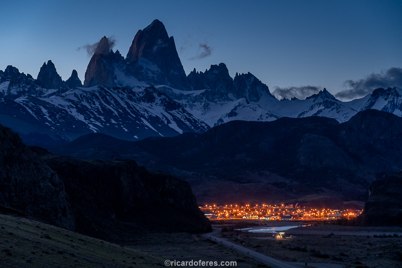
El Chaltén and Fitz Roy seen from a roadside lookout. This is one of the 150 photos of the book The Most Beautiful Trails of Patagonia, click to see it.
When arriving in Chaltén comes the good feeling of being in a place that lives from the tourism, but hasn’t lost its soul because of it. It’s a pleasure to wander and discover its bars, restaurants and, as in every small town in Patagonia, to play with the many dogs running free in the streets, and that’s what I did on the first two days, while I waited for the weather to improve so I could do the first hiking circuit from my list.
In Chaltén you can do almost all the trails in the back-and-forth style, for those who want to have the comfort of sleeping in the village, but I’m not the biggest fan of going and coming back the same way, so I joined some trails to walk in a circuit of 4 days, camping along the way.
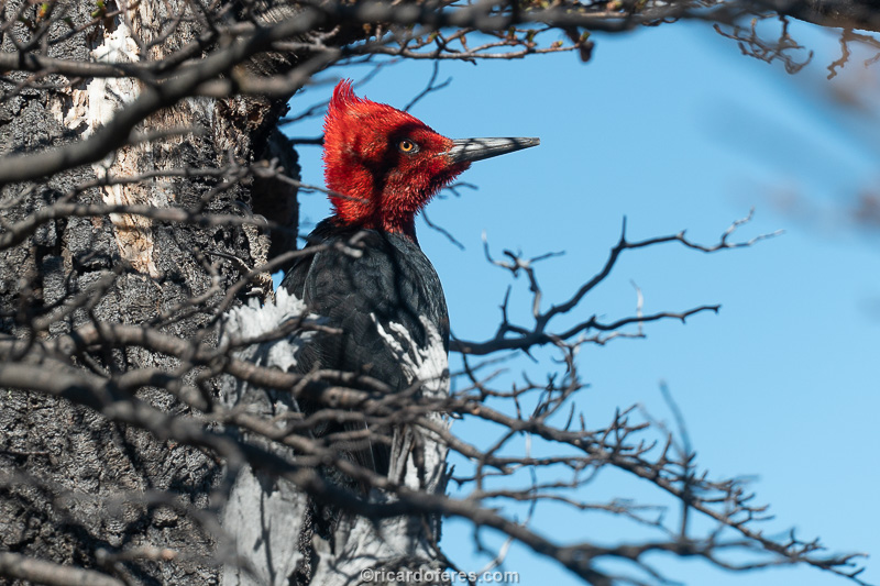
It is not uncommon to see a woodpecker along the Patagonian trails.
The forecast said that there would be two sunny days and a third day with a change in weather in the afternoon, so I decided to cut off the first leg of the circuit to do it later, thus being in the most important points (Fitz Roy and Cerro Torre) in the days with better light. Since I had been told that a remis (taxi with the price fixed before the race) to the trailhead would cost 800 to 1000 pesos, I went with a van that charges 400 pesos and would leave at 07:30, heading to Hostería El Pilar.
I would prefer to go earlier, but for the price difference, no problem wasting half an hour. Here comes the first tip: don’t take the vans, they arrive late, then you lose even more time because they pass by other inns and travel incredibly slowly on the dirt road. And there I was, looking at that incredible light and wondering if it would arrive in time to photograph… I took a deep breath and tried to relax, since I had nothing to do and the forecast was good for the other days as well.
Another thing I didn’t know is that the van would make stops along the way, giving time for those who want to take selfies and listen to curiosities about the region. Well, since there was nothing to do, I also went out to take pictures and that’s when I realized that I had the wrong lens! The night before the moon was so beautiful that I put the telephoto lens on to photograph it, ran back to the inn and forgot to replace the right lens. Anyway, I wonder what people thought who saw me looking at the camera and saying “SHIT SHIT SHIT” for who knows how many times.
Here is the “guilty” for me having the wrong lens. After all, as Homer Simpson said, it’s my fault and I put it on whoever I want.
I told to the van driver that I would walk back and try to get a ride along the way. About 5 minutes later a pickup truck appeared, I stuck out my thumb and, just in case, I stayed in the middle of the road, so if he didn’t want to give me a ride, he would have to kill me. Arriving in Chaltén, the Chilean guy who was driving told me that he needed to turn right, so I got out and walked quickly to the inn, when I saw that the cell phone fell out of my pocket and I was leaving with the car. Imagine the scene of a guy with a backpack chasing a pickup truck… I know, you can laugh, now I laugh about it too, but at the time I could only think “it seems like the first time you have been hiking, what an idiot !”.
Anyway, I arrived at the inn, changed the lens, called a remis and found out it would cost 1,500 pesos! Until yesterday it was between 800 and 1,000, now it costs 1,500? I said goodbye to the exploring taxi driver and decided to make the circuit by another trail, starting in the city itself, since I wouldn’t really go to Pedra del Fraile. Pissed (with myself) to the core, I thought “this is the time to use the teachings of meditation and yoga”, but then I remembered that I can’t meditate and that I’ve only taken 3 yoga classes, so I decided to walk until my thighs were burning, that calms me down.
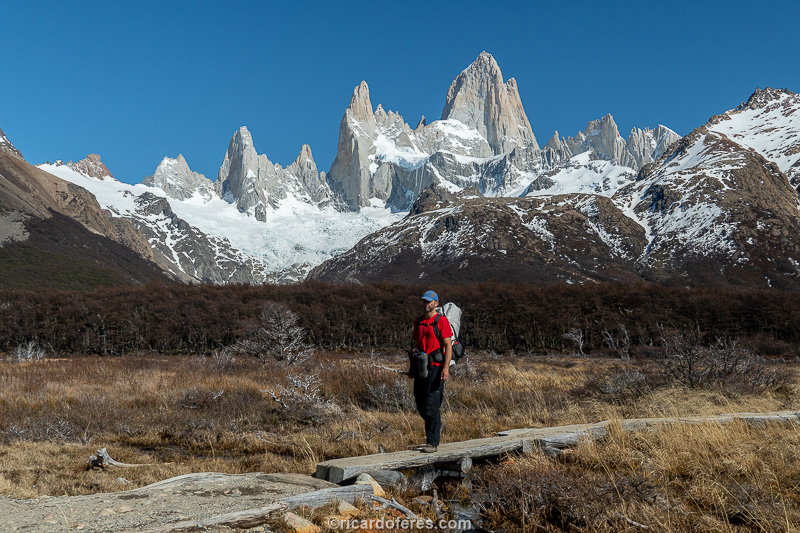
In the end, you know what? Changing the starting point of the hike was the best decision, as the trail that leaves Chaltén towards Fitz Roy is beautiful, almost always with a view of the mountain, which grows with each step.
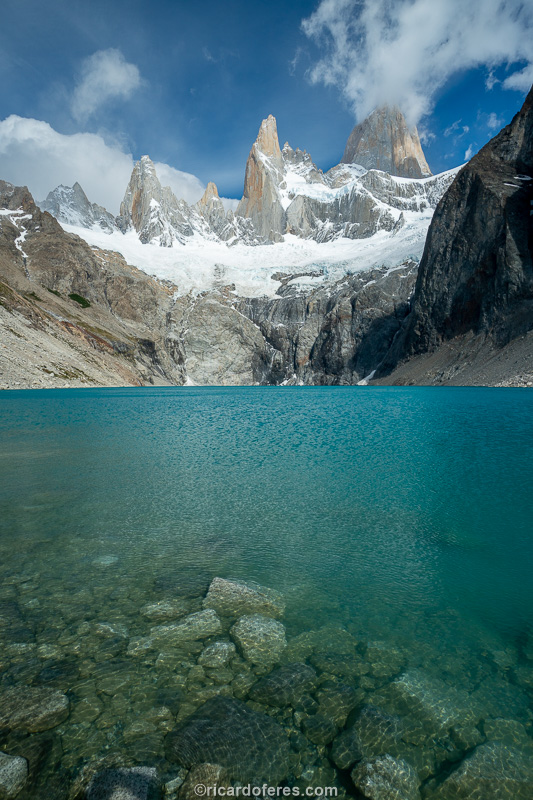
The trail has little ascent until reaching the last kilometer, when it becomes quite steep to overcome a difference in level of 500 meters (1,600 ft). Anyway, the ascent is not a big deal for those who are used to hiking and it ends at Laguna de los Tres, right in front of Fitz Roy, which rises more than 2 km (1.2 mi) above the lagoon, reaching an altitude of 3,350 meters (10,990 ft).
The trails are well marked and there are bridges in the stretches with water.
Tip number two for anyone wanting to get to know Chaltén is: go in the summer. That’s because in winter, Laguna de los Tres is frozen and, if you don’t know that there is a lake there, you will think that it is a plain on the edge of the mountain. Of course it’s beautiful, but the view in the summer is even more impressive, so I came back a few months later to take photos with the summer landscape too.
Tip three is: sleep at the Poincenot camp and get up early, so you can be up there early in the morning, watching the sun painting the Fitz Roy orange. It is important to know that the sun hits the mountain half an hour before it rises, so don’t miss the best moment.
Instead of waking up to see the sun rise, I decided to go during the night so I could take photos under the light of the full moon. I’m not going to say that it’s pleasant to leave the tent in the middle of the night and spend hours at -4 ºC (24 ºF), but it was worth every second. It was so nice to be alone on the edge of the lagoon, with the moon liting the mountains and without hearing any noise that wasn’t of my breath.
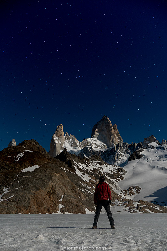
Without a doubt, one of the most beautiful nights I’ve ever had in the mountains. This is one of the 150 photos of the book The Most Beautiful Trails of Patagonia, click to see it.
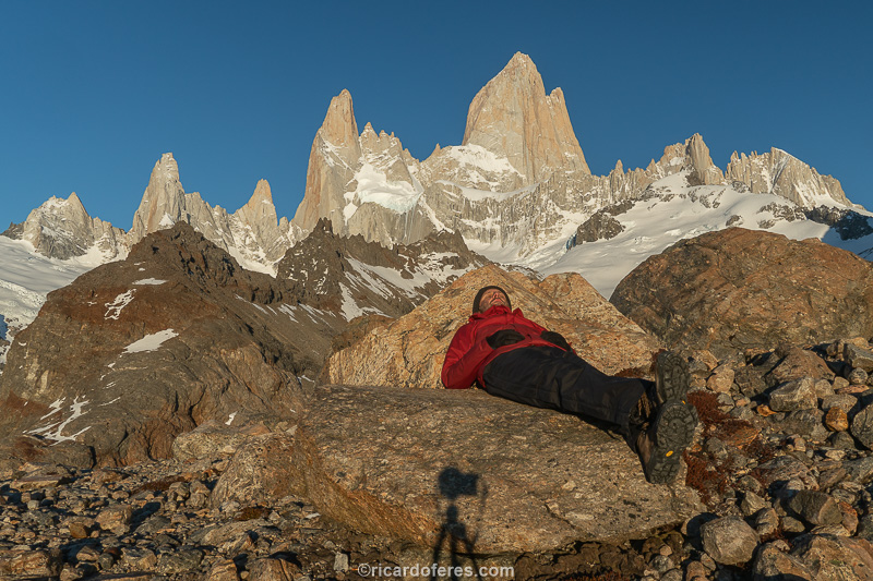
Warming up a little before breakfast.
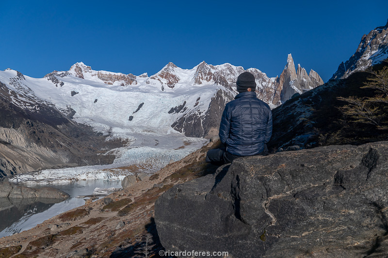
Along with the light, people arrived and, after having breakfast and warming up, it was time to head to De Agostini camp, next to Laguna Torre, which overlooks Cerro Torre. Easy day hike, since the elevation gain is small. Arriving at the camp, I pitched the tent and went to the lagoon, but as the light was not good, I decided to sleep very early to, once again, wake up at dawn and enjoy the moonlight and the dawn.
Dawn with a view of Laguna Torre and Cerro Torre, considered by many to be one of the most difficult rock climbs in the world. This is one of the 150 photos of the book The Most Beautiful Trails of Patagonia, click to see it.
Once again, taking advantage of every sunshine to warm up.
After another breakfast with a panoramic view, I returned to El Chaltén with the certainty that the title of Argentine hiking capital is not for nothing.
17 to 19/10/2019 - Perito Moreno Glacier and El Calafate (Argentina)
I still had a lot of trails to do in El Chaltén, but since the weather forecast was bad for 3 days, I went to El Calafate, using these days to take pictures of some hotels and, when the weather gets better, I would visit the famous Perito Moreno Glacier.
The road between Chaltén and Calafate doesn’t have many beautiful views, it was only when it approached Lake Argentino that I had reason to stop and take some pictures.
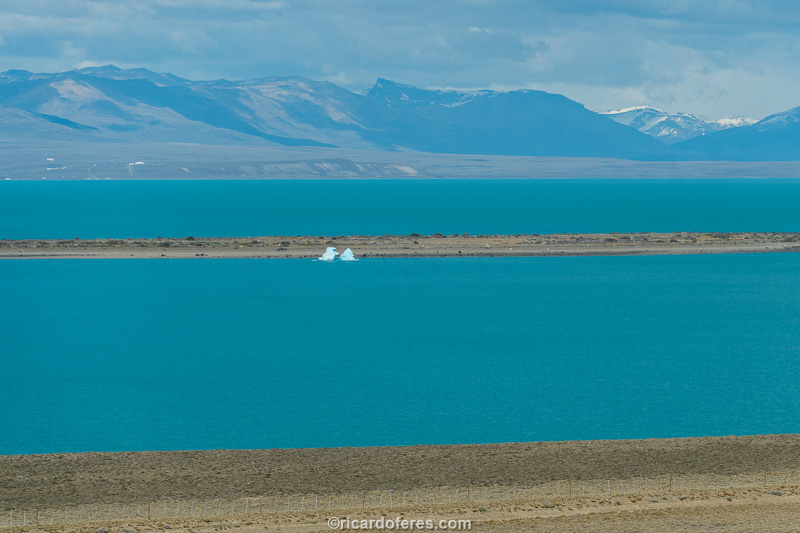
Lake Argentino is the largest lake that is wholly within Argentina, as Lake Buenos Aires has part of its area in Chile.
Calafate is a city that, like Chaltén, survives on tourism. Calafate is bigger and has more service options, but unlike Chaltén, it is not charming, despite being beautiful and organized. Finally, it is a good base for tours to the glacier, which can be done just by walking along the footbridges, taking boat trips or hiking on the glacier.
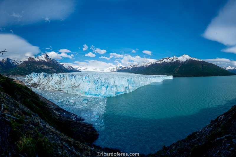
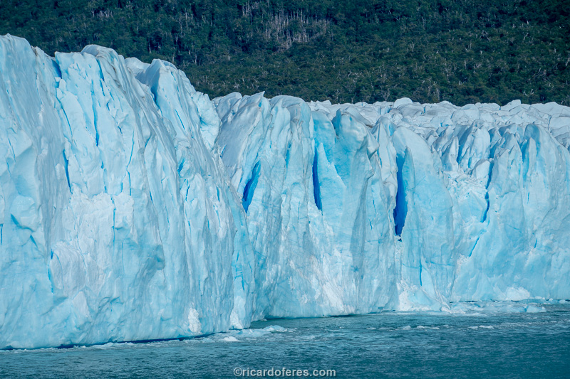
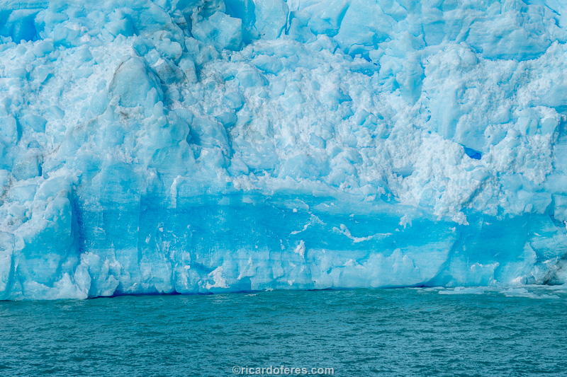
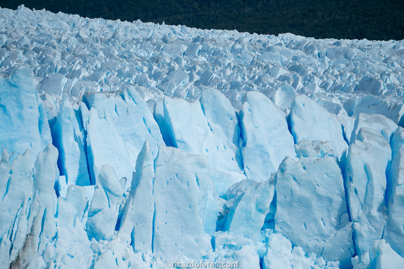
The glacier has 5 km (3 mi) in the front, almost always in contact with the lake, only a small stretch is advancing over land.
The height of the glacier at the point where it meets the lake is between 60 and 75 meters (200 and 250 ft).
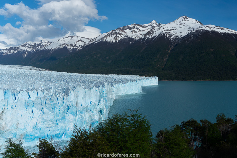
South face of Perito Moreno
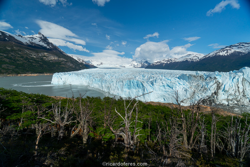
As Calafate does not have hiking circuits and therefore is not part of my project, I turned on my lazy mode and just spent an hour or two walking along the walkways, which offer impressive views of one of the largest glaciers in the world.
I spent only a couple of hours on the walkways, enough time to explore them calmly and take some tourist photos, since this glacier is not part of my project.
Photos for the hotels ready and glacier visited, I returned to El Chaltén to continue with the hiking circuits.
20 to 21/10/2019 - El Chaltén for the second time
Back in Chaltén, with the weather a little better, I decided to complete the circuit I had done a few days ago. Now all that was left was to hike the trail to Piedra del Fraile and then continue to Piedras Blancas Glacier viewpoint, until reaching the point where I had already hiked.
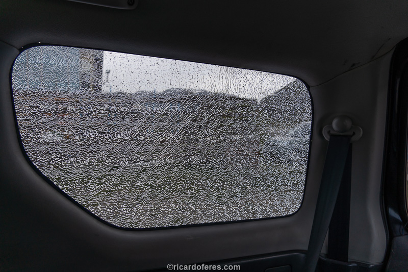
Equipment ready, breakfast finished, I got in the car to go to the trailhead and found the rear side window broken. Can you imagine my surprise and disappointment? At first I thought it could have been the wind or the difference in temperature, or even that some clumsy person accidentally crashed, but when I saw that another car also had its window broken, I realized that it was the work of a little thief incapable of even removing a broken window. In a city where houses and businesses have neither fences nor gates, such a thing is really surprising.
Anyway, I filed a police report and went looking for a new glass, but as there are no Suzuki in Argentina, I had to order a glass to be delivered to a store in Puerto Natales, Chile. This city is about 6 hours from Chaltén and, even with protests taking place all over Chile, I had to go there to get the car fixed.
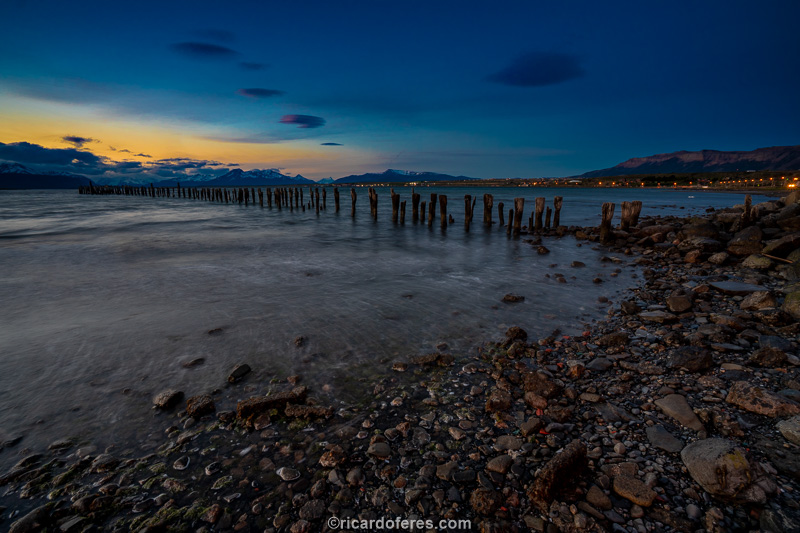
22 to 24/10/2019 - Puerto Natales (Chile)
Puerto Natales is a small town by the sea, although Gulf Almirante Montt looks more like a large lake, as it is surrounded by snowy mountains. Those who come to Natales almost always have Torres del Paine National Park as their destination, while I was there to replace the broken glass on my Jimny. To my delight, when I arrived in the city, the glass had already arrived, but it came by bus from Punta Arenas, preventing me from having to drive even further.

Gulf Almirante Montt
The service couldn’t have been worse, since they scratched the car in several places, I think that even the thief was more careful than that “professional” from Solovidrios store, but I didn’t even bother to complain because it wouldn’t solve anything and, also , because I don’t care if the car has a few more scratches, it’s important for the mechanics to be in good condition.
Sunset in Puerto Natales
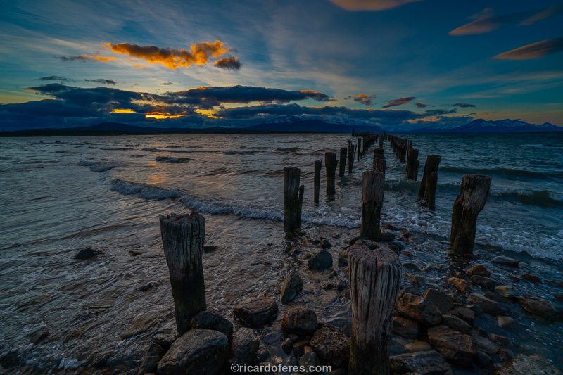
Sunset in Puerto Natales
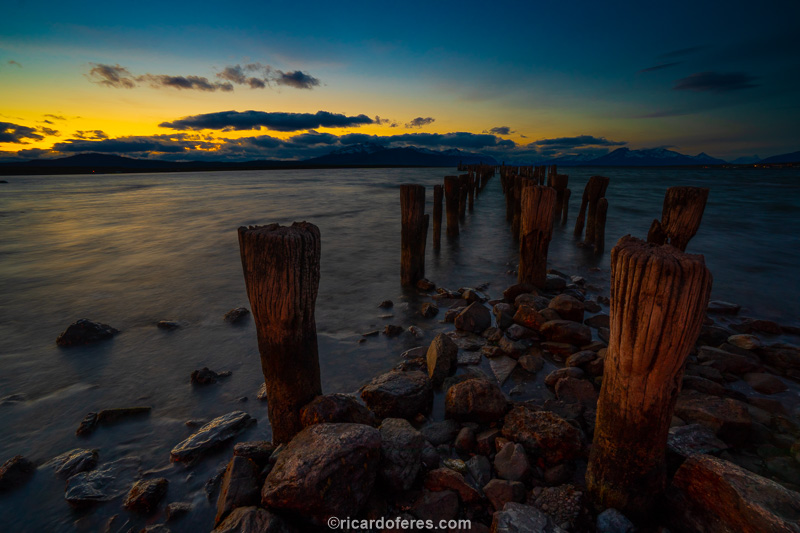
Sunset in Puerto Natales
I took advantage of the days in the city to edit photos and see the protests that were shaking Chile, but here they were peaceful, including children and elderly people participating in the marches, nothing like in Santiago or in other big Chilean cities.
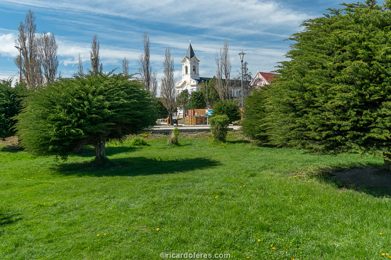
Plaza de Armas Arturo Prat
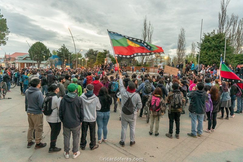
Protest started with music and then there was a peaceful march through the city, under the curious gaze of the tourists.
After everything was ready, I had 8 free days before the booking to do the hiking circuit in Torres del Paine, so I decided to go earlier to photograph other areas of the park.
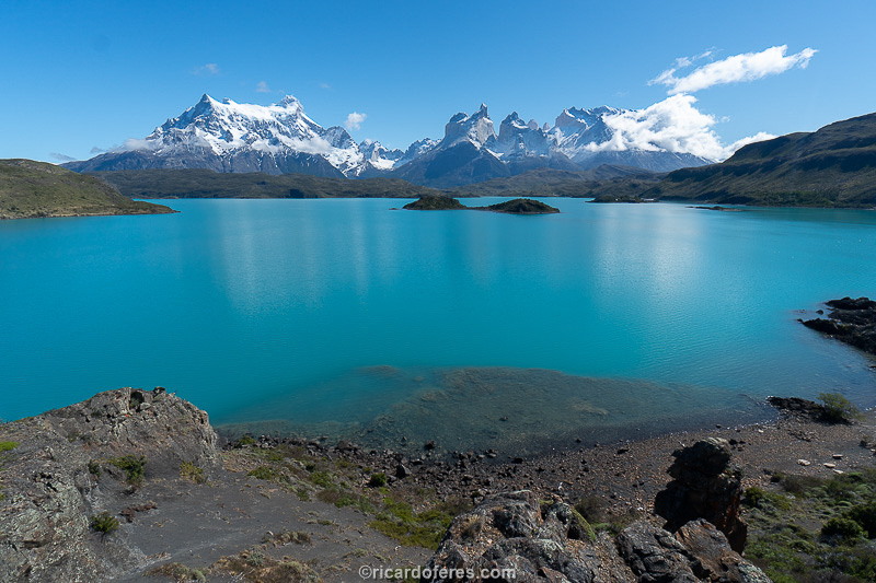
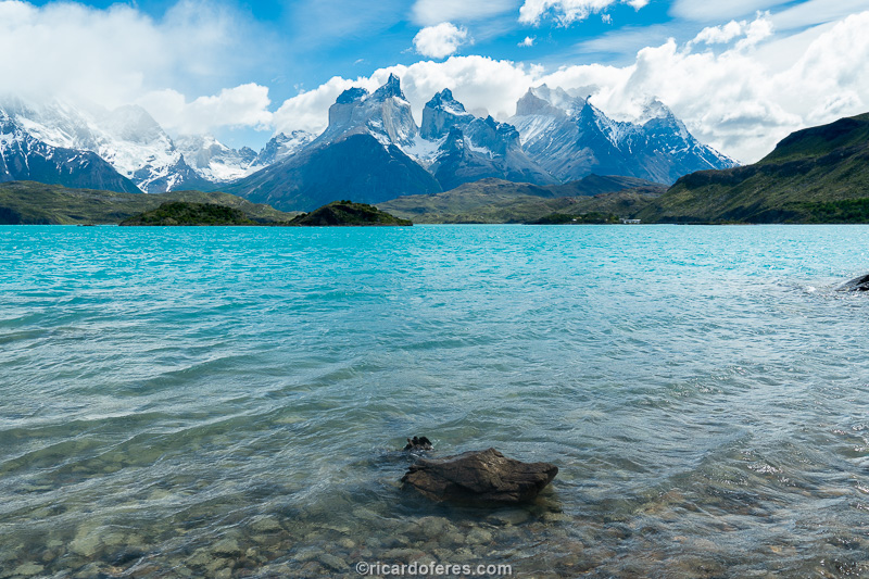
25/10/2019 to 08/11/2019 - Torres del Paine (Chile)
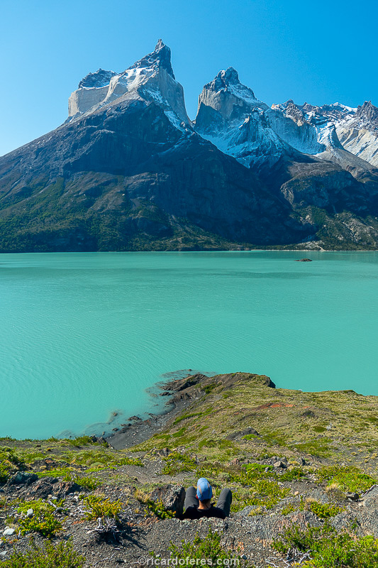
Mirador Los Cuernos, overlooking Lake Nordenskjöld and Cuernos del Paine mountains, where I spent the afternoon of the most beautiful day before entering the hiking circuit.
Torres del Paine is known around the world for having one of the most beautiful hiking circuits on the planet, but that comes with a high price. In addition to the cost, it is quite annoying and complicated to make reservations for the Macizo Paine circuit, better known as O, or the W circuit. The O circuit is the biggest and usually takes 8 days, the W circuit is part of the O, leaving aside one third of the hike and being much more crowded, since almost everybody choose this route. To read an article of the circuit I did in 2011, visit this link: https://ricardoferes.com/project/torres-del-paine-chile-en/
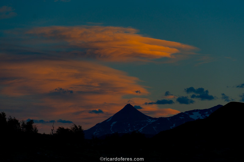
In the 15 days inside the National Park, I had two beautiful sunsets and this is one of them, the other one is in the book.
My first trip to Torres del Paine was in November 2011, at a time when it was possible to go without a reservation and pay for the campsites on the spot, without any bureaucracy. Now, in 2019, you need to book and pay for everything in advance, as the park is packed from mid-spring to the end of summer. I tried to make reservations for O Circuit two months before my arrival and I couldn’t. There were vacancies if I wanted to rent a tent or sleep in the shelters, but taking my own tent and food, I couldn’t. I imagine that they leave very few spots for those traveling independently, since this type of hiker gives little money for the shelters. To make matters worse, there are 3 different administrators of the campsites and shelters, being two private companies and CONAF, the federal agency that controls the Chilean National Parks. Try to make the reservations in the three so that the date of one company fits the date of the other company and you will understand my indignation…
Anyway, I only managed to make bookings for the W circuit and, even then, I had to arrive 15 days earlier than I was planning. As the car window (explanation in the previous post) was ready 8 days before my first night booked in Paine, I went to the park and slept at Camping Pehoé, doing some trails outside the O or W circuit, like to an incredible viewpoint very close to Camping Pehoé, called Mirador del Cóndor, as well as a small and beautiful beach on the camping itself, which is in front of Lake Pehoé.
One of the beaches next to Camping Pehoé.
What didn’t help me was the weather, which here is usually very unstable, going from sun to rain (or snow) in a matter of minutes, but in those 8 days the weather was almost always cloudy around the mountains, which are the purpose of my trip. I then took the opportunity to rest, read and talk with a great photographer who was also camped there, along with his friend, both Chileans and residents of Puerto Natales.
I spent most of my time in the car, parked overlooking the mountains, waiting for the weather to clear. On one of the days, around 8:00 pm, I got out of the car and went to the restaurant to edit the photos, when a little later a Dutchman came in, all agitated, asking me if I had seen the cougar. I thought he was kidding me when he said that the cougar passed right next to my car, but when I saw the photos that the campsite employee took with his cell phone, I saw that it wasn’t a joke, a cougar passed exactly where I was stopped for hours, only about 15 minutes after I left. And to tease me even more, he sat in a low bush posing for Marinero’s cell phone, the nice employee who works at Camping Pehoé. Two days later, people arrived in a car and said that they saw a cougar crossing the road, also at the end of the day, that is, it seems that this is the moment I have to keep my eyes open, since that is when they go out hunting .
In the day that dawned beautiful, I took drove to the other side of the park to photograph the Cascada Paine with the Torres in the background, but in that region there were clouds.

At least Laguna Amarga I managed to photograph that day, in this photo you can see the clouds that prevented the view from the waterfall that is below that point.
After the 8 days of waiting, I went to the W circuit, finally! The first day was spent ascending to the Chileno campsite, which is two hours away from the towers that give the park its name. I arrived at the campsite in the early afternoon and saw that the towers were hidden behind the clouds, so I decided to rest until the following dawn to go up before sunrise and photograph them painted orange, as I did on my first trip. I just forgot to combine it with the weather, since during the night it snowed a lot and, at dawn, the scenery was even worse, so I didn’t go to the towers again. The only ones who were happy with that weather were a couple of Brazilians who were finishing the W (this point could be the beginning or end of the circuit) and they had never seen snow, so they were delighted for seeing snow for the first time, which is really remarkable . As for me, I headed to Francés campsite, which is very close to Valle del Francés, waiting for the next day.
Morning of the second day, which would have been dedicated to the Torres, if not for the clouds.
The third day dawned nothing promising, but even so, I climbed the valley with the slightest hope that it could get better. And it got better! Upon arriving at Mirador Francés, the clouds began to give way to the sun and the mood of everyone there improved a lot. Time to walk fast to Mirador Británico, as the sun can only last for a few minutes. During the walk, I heard the noise of an avalanche and saw that it wasn’t just any avalanche, it was the most beautiful one I’ve ever seen and I managed to photograph almost all of it, losing only the beginning due to the time it took to pick up the camera. Excited to have witnessed and photographed something so impressive, I went to Mirador Británico and did some photos a little before arriving, as soon the clouds returned to hide the mountains. All right, at least that day was productive and I headed to Paine Grande campsite enjoying the view of the wind over the lakes, which lifted the water as if it were raining.
Cloudy weather in Valle del Francés, which fortunately improved and gave me the video below
All night long it rained a lot and the fourth day started badly, with everyone that was camped not knowing what to do: go to Grey camping or stay one more day? I had two nights booked at Grey, so I asked to sleep at Paine Grande again, it didn’t make any sense to walk in the rain without being able to take pictures. I spent the day in the tent or in the dining area, reading and talking with people from all over the world. Okay, more reading than talking, but I guarantee that I had a good chat with a group of people from Minas Gerais State (Brazil).
During those days in Paine, 2.5 books were read, at least the reading yielded a lot.
Fifth day dawned with light rain and, anyway, now the options were to go to the Grey campsite or leave the circuit. Better go to Grey, of course, and see what happens… I walked in light or medium rain, until it stopped in the early afternoon. I pitched the tent and went to the lookout that gives a frontal view of the glacier, when I was lucky that it didn’t rain and I was able to photograph a little. I wanted sun and a blue sky to show the beautiful color of the icebergs, but that would be asking too much, so I was happy with the lack of rain and went back to the campsite, always keeping an eye on the sky to see if there would be a beautiful sunset, which it didn’t it happened.
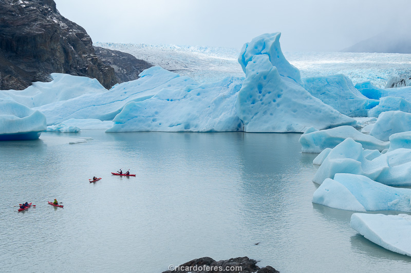
Icebergs at Grey lake
The next day, the sixth, the return to Paine Grande campsite was once again under strong winds, some rain and no beautiful view. On the way, I wondered if I should already take the boat at the end of the day to get the car and leave, I assume that in all this time I couldn’t avoid to be worry about the equipment that is in the car. Even with this concern, I ended up staying another night in Paine Grande so that, instead of going back by boat, I went back along a trail I hadn’t seen before, which excited me a little more.
I woke up on the seventh day and started the hike at 6:30 am, walking fast because I had to be at the bus stop before 12:30 pm and there were 19 km to go. The trail was easier than I thought, flat for the most part, and I got there at 11:00. Instead of waiting for the bus, I decided to hitchhike and see if anyone would take a dirty hiker. First car, it didn’t. Not even the second, third, tenth… There was even a family that stopped but there were already five people in the car and I said that there would be no way to put another one there, let alone one that is dirty and sweaty. Fortunately, a couple of 65 years old from Prague, Czech Republic, stopped shortly afterwards and they took me two-thirds of the way when they had to deviate from my road. They spoke very bad English, but even so, they weren’t shy about talking about their country and asking about Brazil. In short, a good example that it is possible to have a backpacker’s soul even in advanced age.
Paine Grande Trail – Las Carretas, which leads from the Paine Grande campsite to the road where the bus passes
Again on the side of the road, I stood there wondering if I would need another hour and a half of waiting for someone to take me to my final destination, but after 10 minutes two men in their early 20s, stopped to help me. The most curious thing wasn’t the short waiting time, it was that the two are also from Prague, the same city from the previous ride! When I go to the Czech Republic, I think I’ll only hitchhike… After they dropped me off at the entrance, I took the bus to the parking lot and kept remembering the previous trip and how the weather greatly influences the perception of the place. To explain it better, it’s worth mentioning that the people I met during the W circuit this year, when I asked them what they thought, said that it’s beautiful, that they’re enjoying it, but always without excitement. There was even a couple who said that Pucón is much more beautiful than Torres del Paine, but the truth is that they had a much better experience in Pucón because they had sunny days there and were able to enjoy the impressive nature of the Andes in its fullness, which leads me to give you an important tip for those who want to visit Torres del Paine: come with spare time, otherwise you’ll take some planes and buses, spend a lot of money and maybe you won’t be impressed with anything the park can offer you. The days I had at the Pehoé campsite served to show me that the Park can be very well enjoyed by those who don’t want to take long trails or even for those who just want to drive, as the road that cuts through the park offers views that will leave anyone impressed, so whatever your style of travel, you can head to Paine which, weather permitting, will come back with an unforgettable trip in your bag.
This is the Mirador Ferrier, a two to three hour climb that takes you to one of the most beautiful viewpoints in the park, but which is not part of the O and W circuits.
For those who want to do a short trail, the one that leads to Salto Grande is a great option.
09 to 16/11/2019 - Cabo Froward (Chile)
At the time of researching about the most beautiful trails in Patagonia, the hiking to Cape Froward, which is the southernmost point on the continent without having to cross the Strait of Magellan, appeared from time to time. I saw many photos and articles and I couldn’t understand why some people said that this trail is among the most beautiful in a region like Patagonia, with its majestic mountains. Anyway, I put it on the list of trails to do to check it out. When I arrived in Punta Arenas I was behind on my schedule, but as this winter was long and the lagoons in my next destinations were still frozen, I decided to do the trail now to spend a few more days and have time to the sun show up and melt all that ice.

Punta Arenas is a city with a large number of tourists, but it maintains an air of a real city, with services that are not available in a city dedicated only to tourism. And, on top of that, it faces the Strait of Magellan with its birds, penguins and whales, but these only in summer.

When summer approaches and the temperature rises, residents flock to the squares to enjoy life outdoors.
The base city is Punta Arenas, but as it is 70 km (43 mi) from the beginning of the trail, I left some bags at Hostal Innata Patagonia, as the car was parked at the end of the road, in an open area.

Sunrise on the path leading to the trailhead
I left Punta Arenas very early and started walking at 07:00. The day was cloudy and the sea was incredibly flat! I soon realized that the walk, despite having few climbs, would not be so easy, since I would need to walk on different terrains that, almost always, left the speed low.

Despite looking firm, this gravel sinks in with every step.

At low tide there is more room to walk, but be very careful not to slip on the seaweed.
From time to time it was needed to take a trail that detour from stretches of coast or even from beaches that were underwater at high tide. The marking of these trails was done in the most improvised way I’ve ever seen, with colored ribbons, plastic bags and even old clothes such as socks, underwear and hats. A little weird, but I can’t deny that it worked very well.

Faro San Isidro, often visited by those who want to do a day hike.
On the first day I met only 3 Chileans who were returning to the city because they couldn’t find the way to Faro San Isidro. I thought it strange because, from what I had read, you just need to follow the beach and maybe take a side path for a short stretch. I asked if they wanted to go with me, but they refused, so I went ahead and arrived in half an hour at the lighthouse, not understanding how they couldn’t find such an easy path.

Bahia del Cañon

Tortuga Island can be reached without getting your feet wet when the tide is low.
Along the way there are four rivers that need to be crossed, but two of them have a lot of fallen trees and you can balance yourself to the other side. To cross the other two, it is recommended to wait for low tide, as the water is incredibly cold and the current can be strong, depending on the flow of the rivers. I even tried to cross San Nicolas river, which is the deepest, at medium tide, but I turned back when I saw that it would be up to my chest in water, so I waited for two hours until the lowest tide.

Crossing San Nicolas river at low tide

Knowing that the tide would not rise more, I took the opportunity to camp very close to the water.

Sunrise seen from the front of the tent.
The second day had the same weather as the first, almost always cloudy and, from time to time, with a little sun or drizzle. The difference was that on that day the fauna sighting was much more intense, with several groups of dolphins, some sea lions and, the coolest thing, 4 orcas, which I could recognize just by the size of their dorsal fins, since they were very far from the coast. Even far away it was an exciting encounter, as I never imagined seeing orcas during a hike.

I saw dozens of dolphins on the second and third days, too bad they were shy and didn’t jump for the camera, that was the most one of them was exposed to.

I saw fewer sea lions than dolphins, but they showed off a little more.
When I got close to Cabo Froward, I decided to climb the hill where Cruz de los Mares is, taking all the equipment, so I could camp on the summit and take night photos more easily. Fortunately, not only there is a small area where you can pitch a tent, but there’s also a lake nearby to get water, so I stuck around. I just wasn’t lucky enough to have a cloudless night, so what I did was sleep a lot, which isn’t a bad program either.

This is Cruz de los Mares, built 400 meters high on Cape Froward, the southernmost point of the continental mass of America (the southernmost point you can reach without crossing a sea arm). The cross is 24 meters high and was built for the first time in 1913, but because of the severe weather conditions, it had to be redone several times. The current one is made of metal and was installed in 1987, as a tribute to the visit of Pope John Paul II to Chile that same year.

To get a better sense of size, I’m below the cross, with a red jacket
I woke up with very cloudy weather, but at least it wasn’t raining like it had been during the night, so I put everything in my backpack before the rain returned and started the downhill, which in the steepest sections has metal stairs. The first staircase required a little attention because the steps are very small, the second was like the stairs of a house and I was relaxed, but I slipped as soon as I took the first step and I ended up at the bottom of it, about 5 meters (15 ft) below . Still not understanding what had happened, I got up, checked that the bones were all in place, and cursed at the stairs. Looking from below, I could see that the steps are not parallel to the ground, the base of the stairs must have given way over time and the steps were inclined downwards, turning into a slide.

There are ropes on some stretches to help the hikers.
Arriving at the beach there was a little wind, but nothing that bothered walking, the problem was that the noise of the waves prevented me from hearing the breathing of marine mammals, so that day I only found a few dolphins, in addition to the ever-present birds and, at low tide, anemones and algae.


Again I walked faster than I thought and arrived early to cross the river, this time the Nodales, which is shallower and, at low tide, I could cross with water just above my knees. At least from the knees of those who are 1.84 m; when in doubt, send the tallest of your group first.

While waiting for the lowest tide, I photographed the albatrosses that were resting on the shore.

At every sudden movement they fled, but returned in less than a minute.

A beautiful sunset on the third day.

Sunset at the third campsite
Like the first day, the last one had no sightings of fauna that called attention, so I walked without stopping to the car, since even though I had heard several times that it was safe to leave it at the end of the road, I wanted to make sure it was in the same place and without any damage. Besides, I also wanted to get to the warm room right away, take a hot shower and sleep in a big, comfortable bed.

I think it’s good to say that this hike is best done in 5 days, in 4 days it’s a little rushed because it’s 80 km (50 mi) and the effort to walk on the beach or on loose stones is different from the effort made on firm ground.
As the purpose of my trip was to find out which are the most beautiful hikes in Patagonia, I can now say that my impression after seeing the photos of other hikers was right: it is a beautiful hike, but not as beautiful as the trails in the mountains of the Patagonian Andes. If you go to Punta Arenas and have a few days to spare, do the trail that will be fun, at least I liked it, I just don’t recommend travelling from far away with the sole objective of doing this hike, there are other places in Patagonia that are more interesting.
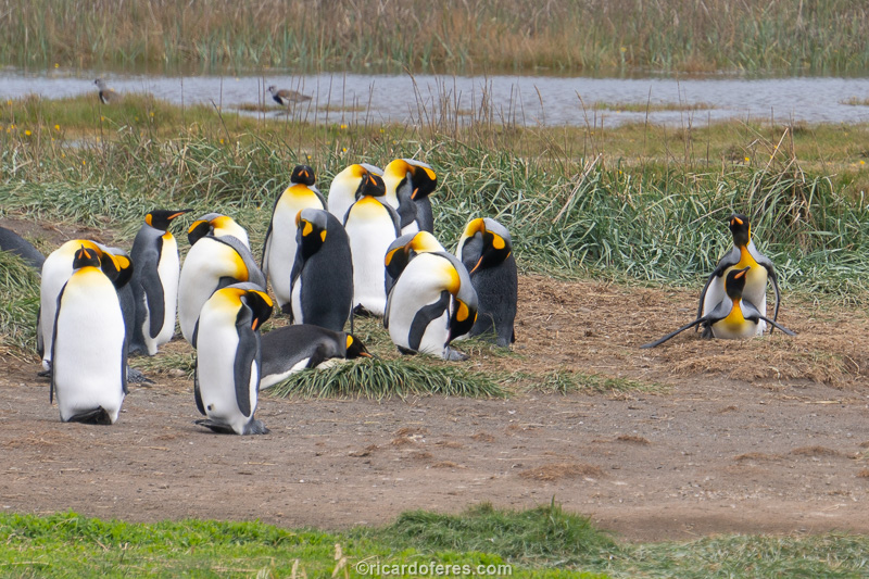
17/11/2019 - Parque Pinguino Rey (Chile)
As you already know, my goal in this trip was to see and photograph the most beautiful hikes in the region, but one can’t go to Tierra del Fuego without visiting its colony of king penguins, the second largest penguin species, second only to the emperor penguin, which lives only in the Antarctic region.
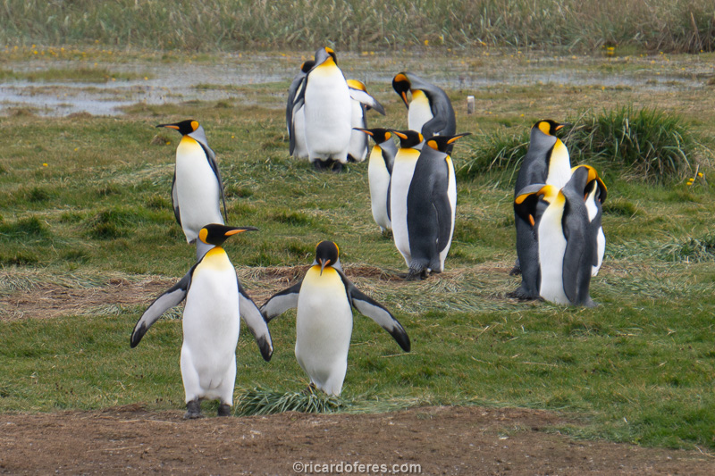
The king penguin reaches a height of 95 cm (nearly 3 feet) and weighs 15 kg (33 lb), and in Parque Pinguino Rey, the colony has a few dozen males, females and chicks, the number varying according to the time of year. I was there at the beginning of November and I counted more than fifty adults and two puppies, which can be observed for as long as the visitor wants, but from established areas so that people do not disturb them and, with that, they end up looking for another place to your colony.
If you have the chance to visit this park, do not miss it, I saw some people saying that they would not go because they had seen penguins in other places, but the king penguin is much more beautiful than the Magellanic penguin.
For more information, visit the Park’s page: https://pinguinorey.com/descubre-al-pinguino-rey/
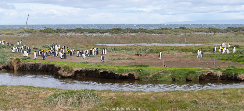
General view of the colony.
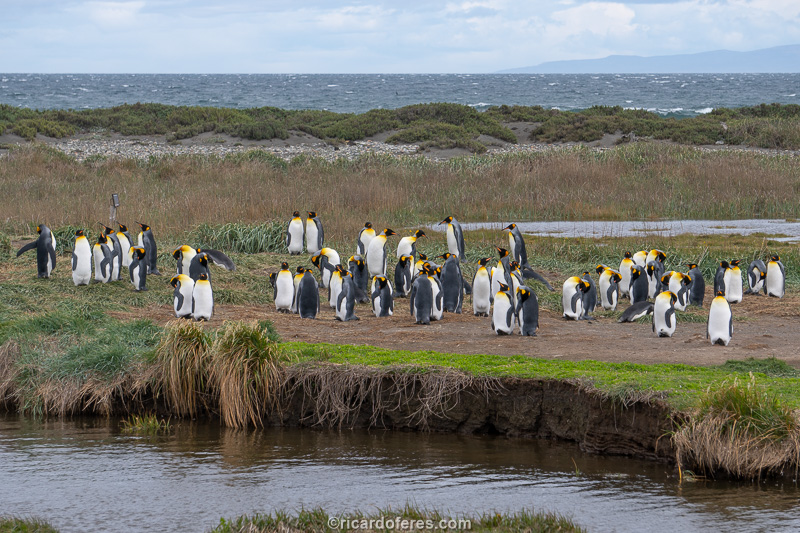
General view of the colony.
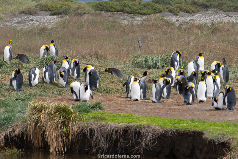
Some penguins sleep lying down, but most just drop their heads to one side while they sleep.
Happy couple making more penguins.
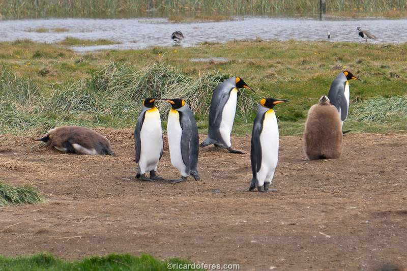
The two chicks of this colony.
Although the observation points are not very close to the colony, with a zoom lens it is possible to photograph them well and there are spyglasses available, but if you have binoculars, take them with you as they will be useful.
Another penguin joining the group.
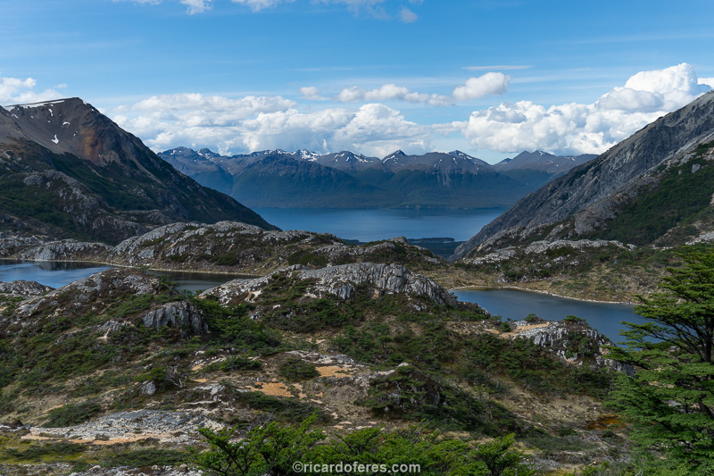
18 to 29/11/2019 - Sierra Valdivieso and Ushuaia (Argentina)
‘WHAT AM I DOING HERE?’ That was the recurring thought I had while crossing the mountain that lies between Esmeralda lagoon and Sierra Valdivieso circuit. In fact, I knew what I was doing there, the idea was great, the timing that wasn’t good, but let’s go back to the beginning so that you can judge me having more information.
Before the trip, when I researched the most beautiful hikes in Patagonia, the Sierra Valdivieso circuit appeared on some lists, but not on others, so I decided that I would do it to clear that doubt. Taking a look at the map, I saw that Esmeralda lagoon, one of the most famous spots in Ushuaia, is in a valley parallel to the first day of the circuit and, on top of the mountain between these valleys, there is a glacier called Glaciar Ojo del Albino, so I changed the first day of the traditional circuit and went through Laguna Esmeralda, in an attempt to connect the two trails, creating a longer and more beautiful circuit.
Laguna Esmeralda and, in the background, the climb to Ojo del Albino Glacier
The path to Esmeralda lagoon is very well marked and, as I left early, I was the first to arrive. Even though I had the whole lagoon to myself, I only stayed for the time needed to take the pictures and then started the climb to the glacier. The steepness increased as I climbed, and in some sections there was no protection in case of a slip, so every step in the snow was well tested, and every now and then I wondered whether to go forward or back, to do this again when there wasn’t so much snow and ice. As going down that same path didn’t please me at all, I thought it would be better to go to the top to see what was waiting for me on the other side, thinking that it might be easier to go down that way. It’s so nice to fool yourself, isn’t it?
Despite being the second half of November, the lake of the Ojo del Albino Glacier was still frozen and snow covered almost the entire glacier.
To my relief, there was much less snow on the other side and, to avoid the most slippery places, I walked inside the channels that the melting water dug in the rocks, having more steps and supports, since I didn’t feel safe stepping on the stones because many times they fell off the mountain.
I don’t know if the path I took is the safest, but it was what seemed best to me at the time.
In the end, it was undoubtedly worth having made this addition to the circuit, making the first day of the trail much more beautiful than if it were the traditional route, which is unattractive and forces the hiker to walk for kilometers in irritating turf.
It looks like a nice place to walk, but a turf is like a sponge, causing your feet to sink in and get constantly wet.
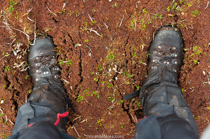
Here the boots are slightly sunken, since I’m standing still and with both feet on the ground, but when walking it’s quite common to sink to the calf.
You don’t need to be a climber to do this stretch, but if you’re the type of person that stumble on your own shadow or are afraid of exposed areas, I recommend you do the traditional circuit.
Happy face of someone who arrived in the valley with all their bones intact.
I walked just a few more kilometers until I found a good place to camp and stayed there, leaving the crossing of Paso Beban for the second day.
Paso Beban seen from Ojo del Albino glacier
After the crossing of the day before, even with a lot of snow in Paso Beban, crossing it was like a walk in Central Park, and during the descent I found the first dams made by beavers, which despite being beautiful have a huge impact on this fragile ecosystem.
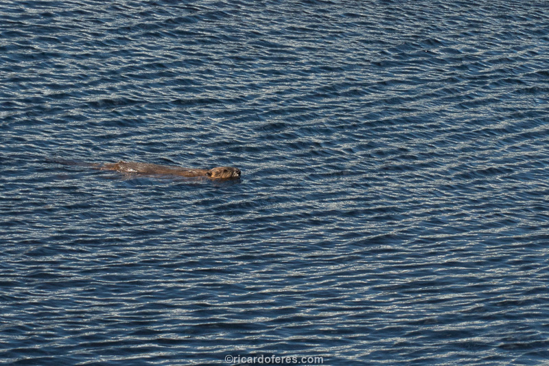
They are cute, but they are in the wrong place. As they have no predators in Tierra del Fuego, they are multiplying too much and decimating huge areas of forest.
One of the many beaver dams in Tierra del Fuego
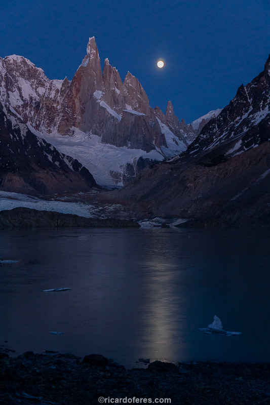
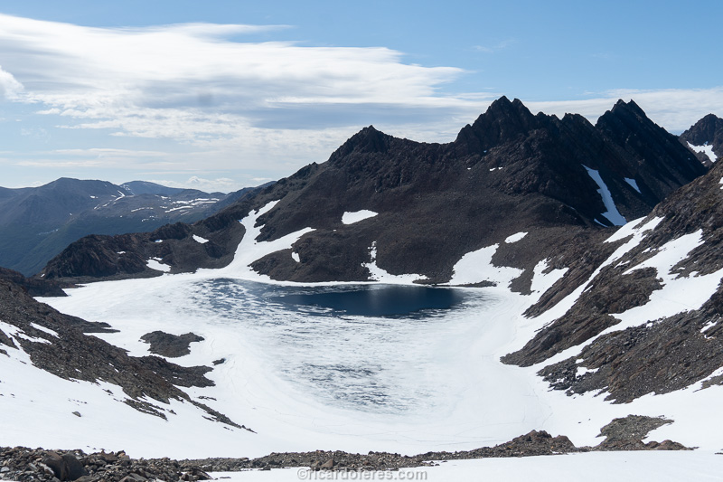
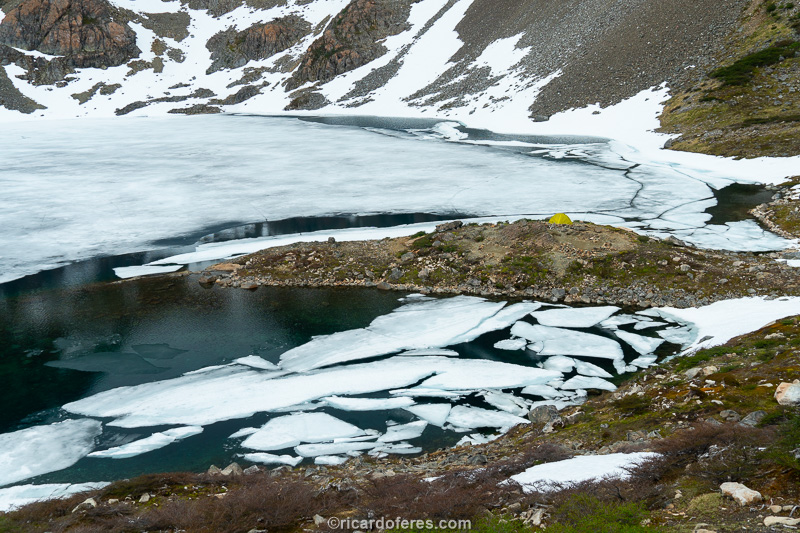
After Paso Beban, the next crossing is Paso Mariposa, but my intention was to photograph Laguna Azul, almost halfway up this pass and, supposedly, the most beautiful spot of the circuit. Imagine my disappointment when I got there and found everything frozen, a huge white carpet instead of colored lagoons.
A frozen Laguna Azul.
Anyway, already knowing that I would have to go back after the lagoons thaw, I decided to sleep on the edge of the lagoon and continue the next day to Lake Fagnano, checking a new path to be able to compare it with the traditional circuit. I just forgot to arrange with Patagonia, which did not agree with my plan and sent winds that drove me out of there, so I decided to go to Lake Fagnano on the same day, taking advantage of the fact that at that time it gets dark very late and I would only have to walk another 10 km (6 mi).
Lake Fagnano seen from the descent of Laguna Azul
Yeah, it’s only another 10 km (6 mi), but I soon realized that the trail was closed by fallen trees, so almost the entire stretch was done through the bush or walking through the marsh. As I walked, I thought that maybe I would arrive at the lake and not have a place to pitch the tent, since it doesn’t have many beaches. Would I have that bad luck?
Yes, I had that bad luck, see the cliff on the shore of Lake Fagnano.
Seeing that I couldn’t camp there, I decided to go in the opposite direction to the one I would go the next day because in that direction it seemed to be a beach.
Another 2 km (1.3 mi) and finally I had a nice flat place to spend the night.
The third day started with a well-marked trail to Bahia Torito and, from there, I took another trail up the valley that would take me back to the traditional circuit, but once again the path was blocked by fallen trees, so I wandered through the bush for a while until I reached the first of the Lagunas Mariposa, always walking in the rain, which prevented me from photographing beautiful waterfalls.
First Laguna Mariposa and, in the background, Lake Fagnano.
When I arrived at the top of Paso Valdivieso, the rain stopped and I decided to sleep on the shore of Laguna Mariposa, which is located at the top of the pass, in the hope that there would be an improvement the next day. Luckily for me, the improvement came soon after and I managed to photograph this lagoon, but this photo is only in the book, not on the internet, sorry.
The next day I was unlucky and the weather dawned cloudy, with clouds covering the mountains, so I decided to go straight to Ushuaia. The path was often poorly marked or the trail got damaged because of fallen trees, but it was still much easier to walk than the path to Lake Fagnano, even so because there was always the option of going to the turf if I got tired of bushwhacking.
The trail near the road is better maintained because many people do day hikes to the region’s lakes and waterfalls.
If you’ve made it this far, you’ve already noticed that these days haven’t been very productive, except for confirming that it’s much prettier to start the Sierra Valdivieso circuit at Laguna Esmeralda. About Ushuaia I didn’t post anything because during the week I stayed in the city I only edited photos, just one day I went for a walk and did the trail to Vinciguerra Glacier.
30/11/2019 to 07/12/2019 - Dientes de Navarino and Puerto Williams (Chile)
Puerto Williams main square
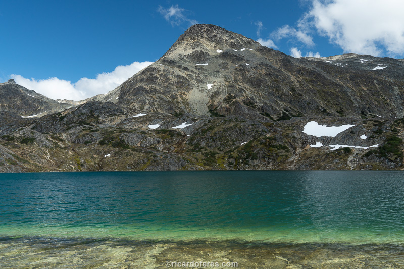
Dientes de Navarino, in Chile, is famous for being the southernmost hiking circuit in the world, but that is the least reason to visit Navarino Island. The beautiful mountains and lakes along this trail are worth the expensive trip to Puerto Williams, the base city for a hike that is usually done in 4 or 5 days, but which, for a well-trained hiker, can be done without rushing in 3 days, as it is only 54 km (33 mi) long.

I don’t know if it’s the king of Puerto Williams, but it has a pose for that.
Despite being told that the lakes were still frozen, I decided to do the trail anyway and, after a few weeks, I would do it again to photograph with the thawed lakes. The first stretch, between the city and Laguna del Salto, was not hard because it has a long climb at the beginning, but it is not steep. Closer to the Laguna, there were some stretches with a large lateral slope, where a slip on the snow or on soft ground could cause an accident, and I wondered how the next day would be, since the first day is considered the safest.
Puerto Williams seen from the climb to Cerro Bandera.
Beautiful day, with sun between clouds, and when I arrived at Laguna del Salto I confirmed what I had been told: it was covered by a thin layer of ice. I don’t deny that I had hope that the sunny days would have melted everything, but at least I wasn’t disappointed because that’s what I expected.
Laguna del Salto
The thin waterfall that gives the lake its name. This is one of the 150 photos of the book The Most Beautiful Trails of Patagonia, click to see it.
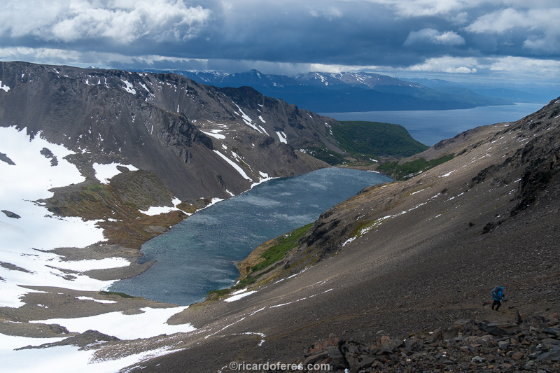
The second day started beautiful, with lots of sun and soon I started walking, crossing the Paso Australia with a blue sky that I hadn’t seen in Patagonia for a long time. Arriving on the other side of the mountain, I found Laguna del Paso partially defrosted, which was a great surprise.
Laguna del Paso beginning to thaw
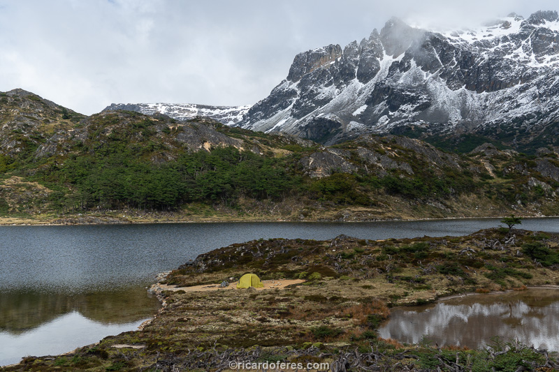
In the early afternoon the weather turned bad and I couldn’t take pictures from Laguna del Paso onwards, so I went straight to Laguna Escondida and pitched the tent on a beautiful peninsula, very exposed to the winds, but I decided to take my chances. To my happiness, the lagoon was almost completely thawed.
I found it curious that they said that the second day is what makes people give up, I found this stretch much easier than the day before.
My tent at Laguna Escondida.
Shortly after, 3 Americans arrived, we talked a little about politics, environment and I went to sleep, but in the middle of the night I had to move the tent because the wind got really strong and, if it got any worse, the tent would be torn off or the poles would be broken . As in Sierra Valdivieso, I lost the bet to Patagonia!
The next morning I talked a little more with the Americans, who were a couple, Mary and Manesh, and a man alone, Mustafá, who very kindly gave me two hand warmers (a small bag that is placed inside the glove to warm the hands). At first I declined, as I didn’t need it, but he insisted and said he had a lot, so I took it. As the day wasn’t good for photographing, I decided to go back a little and take the trail to Lake Windhond, which didn’t really appeal to me, but since I can’t do my job, it would be nice to do a trail just for fun, without having to think about the pictures.
When I reached the top of Cerro Bettinelli and began the descent to the lake, I didn’t feel like continuing. The weather was bad, the lake did not look attractive and, worse, the way back to Puerto Williams would be through a valley without beautiful views and with many flooded areas. I changed my mind once more and started the way back to Laguna Escondida, enjoying the freedom of being alone and being able to change plans as many times as I wanted. For those who are doing the Dientes de Navarino circuit, I recommend taking a day trip to the summit of Cerro Bettinelli, thus having a beautiful view of both the sea and the mountains.
Returning to Laguna Escondida was a great decision as the weather got better and I was able to take good pictures of Lagunas del Picacho, Laguna de los Dientes and, especially, Laguna Escondida, which was beautiful and was, without a doubt, my favorite spot on this circuit. Below are some pictures, but the ones I liked the most are only in the book.
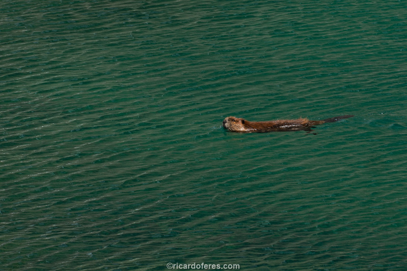
Beaver at Laguna del Picacho

Laguna de los Dientes
Laguna Escondida
The second night at Laguna Escondida was under light rain and wind, but when I woke up I saw that it wasn’t rain, it was snow, a lot of snow! Anyway, I didn’t even think about walking today, and since I had food for two more days, I didn’t have to ration my meals. I just kept thinking about the 3 Americans who, that day, would cross Paso Virginia, the last mountain on the circuit and which can be difficult to cross when there is a white-out. I spent all day in the tent reading on Kindle and watching movies downloaded from Netflix, how easy it is killing time these days, a few years ago I would have had to spend the day looking at the tent or carrying heavy paper books.
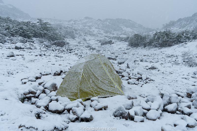
In southern Patagonia, snow can come at any time, even in January or February. This is one of the 150 photos of the book The Most Beautiful Trails of Patagonia, click to see it.
The next day it dawned cloudy and it only drizzled from time to time, so I decided to move on. As I left at dawn, at 09:00 I was already at the first camping point and went to the next one, which I reached at noon. So I felt like doing the 3 sections in the same day, going straight to Puerto Williams, a bit of a long walk but nothing to scare.
Break for a snack sheltered from the rain
Upon reaching the top of Paso Virginia, I started to walk through the snow and realized that it wasn’t firm on the rocks, below there were big holes, so I went back carefully but, shortly after, I sank my leg in a hole and the only reason I didn’t go down even more was because I held myself in my arms. I got up and went very carefully to the area without snow, but just before reaching the rocks I found a tent, a stove, a wool sweater and other equipment. “How did these things get here?” I thought. The tent was brand new and seemed to belong to the American couple, as well as the pink bottle and the blouse must have belonged to Mary. I looked to see if there was a name engraved on any equipment, but I couldn’t find it, so I collected everything and took it to the snow-free stretch, placing stones on top so that they wouldn’t fly away. I thought about taking it to the city but, in case there was an accident, it would be better to leave things there to be easier to understand what happened.
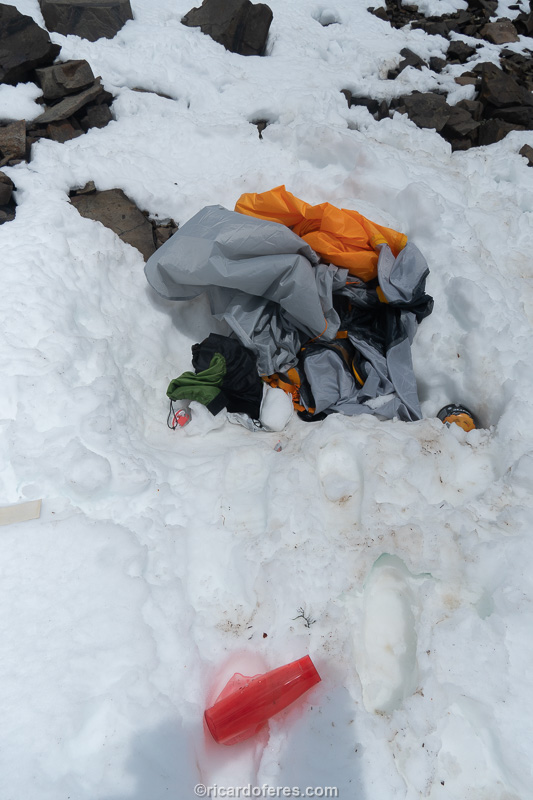
Equipment found at the summit of Paso Virginia
I started the descent and shortly afterwards I saw a big hole in the snow with a waterproof bag on the outside, so I figured that the hole could have been made by someone falling and that he/she had thrown out the waterproof bag to signal the location. On the other hand, there were 3 Americans, if someone had an accident, the other people could help or call for help.
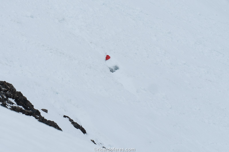
Hole and waterproof bag
I kept walking but I couldn’t stop thinking that something had gone wrong with them, so when I arrived at Laguna los Guanacos, instead of taking the proper trail, I took the old path, which is poorly marked but is shorter. Luckily, when I reached the road, the first car that passed already gave me a ride, avoiding a 7 km walk on the asphalt. As soon as I got in the car and told them I had done the circuit, they told me that an American was missing and, involuntarily, I taught them a few bad words in Portuguese. I asked to be dropped off at the Carabineros, I showed the police the photos of the equipment and the location and offered to go the next day to show them the exact spot, since it was getting dark and I had no legs to go up Paso Virginia.
Laguna los Guanacos and Beagle Channel seen from Paso Virginia descent.
Paso Virginia seen from Laguna los Guanacos.
Mary had left the island, but Manesh, her boyfriend, was staying at the Carabineros and he told me that on the day of the snowstorm, Mustafa was walking on the snow and fell into a big hole. As it was not possible to climb up, he continued in the direction they were walking earlier, while the couple, afraid of falling too, curled up in the tent and called for help using the Garmin inReach satellite tracker. The Garmin US team contacted the Carabineros, and within hours, rescuers reached the summit of Paso Virginia, taking the couple down. Since they couldn’t see or hear anything from Mustafa, they slept in the city to continue their search the next day.
I didn’t understand very well how Mustafa managed to walk in a hole and I imagined that he had fallen into a crevice, since, in that stretch, I had also sunk my leg up to the groin and, when I got up, I saw that there was a hole with more than 2 meters deep and a few meters wide. In my mind, Mustafa fell in the same place and, as he couldn’t go up, he kept walking until he fell on the next place, opening the hole in the snow that I photographed on the way down the Paso. The only certainty I had is that I was with the hand warmers and he was in the snow, how many times did he regret having given me this?
I left my contact with the Carabineros and Manesh and finally went to the shower, to eat and rest so I could go up the next day with the rescue team. But, a few hours later, a policeman wrote to me saying that the missing man had arrived in the city on his own! Happy for not having to go back to the trail the next day and relieved that Mustafa was fine, I slept peacefully and met the Americans the next day while we were waiting for the boat that connects Navarino Island to Ushuaia.
It all made more sense when Mustafa said that, in fact, he didn’t fall into a hole or crevice, he fell off the edge of Paso Virginia, but since everything was completely white, to Mary and Manesh the impression is that he was in a hole. It being impossible to climb, he walked until he reached the stretch of land and descended into the woods, where he pitched his tent and spent the night. The next day he continued downhill, not knowing where the trail was, since only Manesh had a GPS, but at the end of the day he reached the road, went on to the city and, of course, gave interviews to the local newspapers, since he was the subject of every conversations on the island.
For me, this story served to reinforce the importance of having a satellite communicator, especially one that lets you send text messages, not just a distress call that doesn’t explain what’s going on. I also usually take a little more food than is needed, just in case an emergency prevents me from returning in the planned time or so that I can stay camped waiting for the weather to improve. Yes, having more weight on my back is not pleasant, but having the freedom to arrive a day or two later than planned is worth the effort, life is too good to risk because of an extra kg on my back and a few money less on my account.
08 to 14/12/2019 - Sierra Valdivieso and Ushuaia (second visit)
After a few weeks, I thought that Sierra Valdivieso lagoons had already thawed and I went again to do the circuit, this time following the traditional route, just adding a day trip to some waterfalls near the Mariposa Lagoons.

One of the waterfalls that are off the beaten track. They are beautiful, but I think they are only worth visiting if you time to spare, as they are not a must see.
Arriving from Navarino Island, I spent 3 days in Ushuaia waiting for a small window of good weather, which was supposed to happen on 12/12/2019. As I only needed photos of Paso Mariposa and Laguna Azul, I left the city one day before the forecast promised sun and started in the opposite direction, so I could take photos of the waterfalls on the first day. I already knew that this entire stretch and a good part of it is done walking in the turf or in poorly marked trails through the forest, with stretches of bushwhacking, so more than a workout for the legs, it was a workout for patience.
Mariposa lagoons and Fagnano Lake in the background.
At the end of the day, when I reached the lake with the waterfall, I looked for a place to pitch my tent, but the soil was too humid, so I decided to go back a few kilometers in search of a better campsite, which I managed to get close to the climb to Paso Mariposa.
Finally a good place to pitch the tent.
The sunset wasn’t pretty and I slept soon after, waking up at one in the morning to try to photograph the stars. Contrary to what the forecast said, at that time it started to rain and it didn’t stop until 10:00 am, when I decided that I would go up the Paso even in cloudy weather, in the hope that the clouds would get out of the way until I reached the highest point .
Fortunately, my gamble paid off and, little by little, the sky started to clear, so I was able to take photos from Paso Mariposa after only half an hour of waiting, when there was enough visibility to the lagoons. Then, I hurried down to Laguna Azul, the most famous point of this circuit, hoping to get the photos I was missing and, this time, I was in the right place at the right time. Photos taken, I walked to the beginning of the climb to Paso Beban, going to sleep happy for having all the photos that I needed of this circuit.
The most beautiful photos are on the book, this one I posted just to show you the beautiful color of Laguna Azul.
As I had already taken the photos and the third day dawned again very ugly, I went straight to the road. In the morning I had interesting views, but afterwards the walk became somewhat boring, passing through peat bogs, river crossings and paths used by quadricycles.
Beautiful day to photograph, isn’t it? Anyway, who ventures into Tierra del Fuego needs to be aware that sunny days are not the usual here.
When I got to the road, just after I started walking towards the city in search of a cell phone signal to call a taxi, my finger worked better than the phone and I managed to get a ride to Ushuaia, only needing to walk to Cabañas del Martial, the place where I left my car and bags.
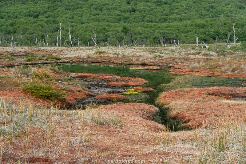
Damage done by the cute but destructive beavers.
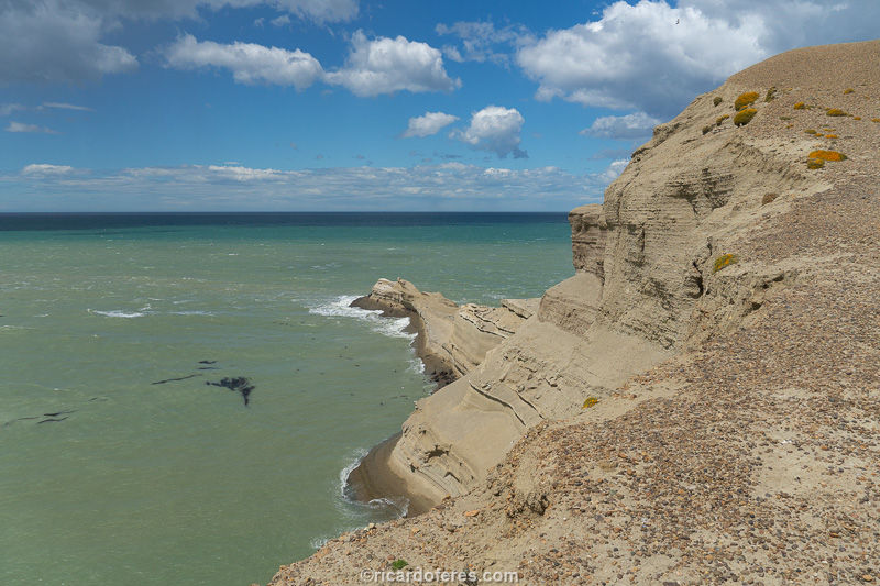
15 and 16/12/2019 - Monte León National Park (Argentina)
Flowers in northern Tierra del Fuego
Work finished in Tierra del Fuego, I hit the road towards El Chaltén. On the first day I went to Rio Gallegos, in Argentina, and walked in its center and coastal avenue in search of something interesting, but as I didn’t find it, I went to bed early.
Ferry that connects Tierra del Fuego to the mainland.
On the second day on the road, I went to Monte León National Park, which sells itself as a place to watch penguins, sea lions and birds. The landscape is beautiful, with the rough sea crushing against the cliffs and beaches, but the animals are quite far from the lookouts, so the observation becomes a little boring.
Viewpoint on Monte León: the sea lions are on land, more or less in the center of the photo.
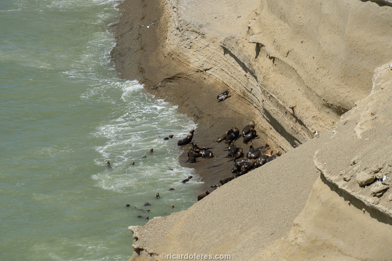
With zoom it is easier to show them, but they are still very far away.
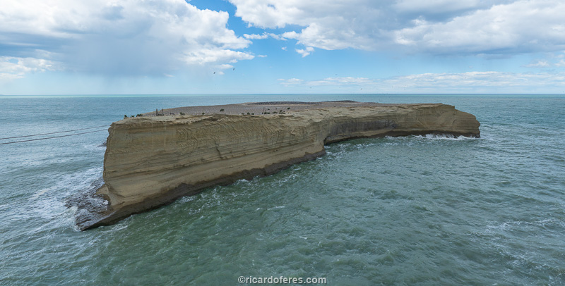
Monte León Island, from where tons of guano were taken before the invention of artificial fertilizers. Those thousands of dots scattered around the island are birds.

Another time that the camera zoom was very useful, so you can see the number of birds, especially boobs.
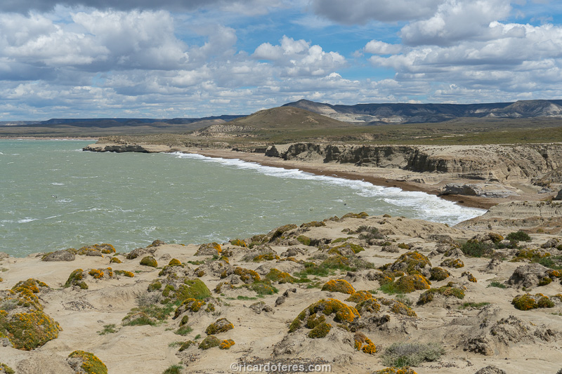
It is forbidden to go down on this beach so as not to disturb the penguins and sea lions.

It is allowed to walk on this beach, as long as the tide is low.
I ended up staying a short time in the park, which was good news, because as soon as I entered an area with a cell phone signal, I received the message that I would have free accommodation again at Hosterías Fitz Roy, Vertical Lodge and El Paraiso, in El Chaltén. If I wanted to, from that night on, so I went straight to El Chaltén and proceeded with the photos of the project.
17/12/2019 to 04/01/2020 - El Chaltén (Argentina) for the third time
This was my third stop at El Chaltén on the same trip. The first stop, at the end of October, was a good one, as I did the Fitz Roy circuit in 3 beautiful sunny days and photographed the lakes still frozen due to the long winter. This after only having to wait two days for the clouds to clear the view of the mountains. The second stop was frustrated by a car window broken during the night, I can’t say if it was due to the wind or vandalism, I only know that I had to leave Argentina and go to Chile to change the window, instead of doing the Vuelta al Huemul. Now, two months later, the lakes had already thawed and I could finally redo the Fitz Roy Circuit and Vuelta al Huemul, I just had to wait for good weather, which was even more unstable than usual.
As soon as I arrived in the city, my first stop was at the APN Information Center, the agency that controls the Argentine National Parks, and the conversation with the ranger went like this:
-I would like to know how the forecast is, since I’m going to do the two circuits of the Park.
-How much free time do you have?
-As much as it takes, but according to your question, the forecast is bad, right?
-For at least 10 days the mountains will be covered by clouds, with one or another opening, but not enough to make the Vuelta al Huemul. Then I don’t know because our forecast covers only 10 days.
Can you imagine my frustration after hearing that? Thankfully, again, I had free hosting, as it was almost New Year’s and it wouldn’t be cheap to stand still for 10 days waiting for the clouds to clear. Spending money while I’m taking photos is very different from paying and not being able to work, which makes me anxious.
After 3 days at Hostería Fitz Roy just editing photos, the forecast said there would be a day with clear skies. Only one day, so I planned to leave at 3 am, catch the sunrise on the way to Fitz Roy, go up to Laguna de los Tres, go down to Laguna Sucia, go to the viewpoint of Piedras Blancas Glacier and also Capri Lagoon. Whew… Ambitious plan, with 34 km (21 mi) of walking, but it would be the way to take the photos that I need of this circuit, as of Laguna and Cerro Torre I had all the photos I wanted.
In a nutshell: everything went well! I arrived at the inn at the beginning of the night and was able to spend the following days resting my knees, which were very sore. I don’t know what caused the pain was, as several times on this trip I walked more than 30 km in one day and carrying a lot of weight, what I didn’t doi this time. My walking style is slow and making quick stops to photograph, I never stop to rest or eat. I keep things close at hand that I can eat while I walk, so I don’t waste time and my knees don’t get cold, but that day I had to walk really fast and stand still for long periods, waiting for the light I wanted, so I guess that was this the reason for the pain.
Laguna de los Tres finally thawed.
Laguna Sucia, which is not dirty at all (in Spanish, sucia means dirty)
Nine days later, another good weather forecast, but for just one day. Anyway, I was already getting tired and decided that I would try to do Vuelta al Huemul. This is a 4-day circuit that leaves the hiker facing Viedma Glacier, but that has stretches on the second and third days that should not be done in bad weather, both because of the danger and because there would be no view of the Continental Ice Field , so why to be there?
The first day on the trail was beautiful, with plenty of sun and some clouds hiding the summit of Cerro Huemul, but nothing that half an hour of waiting couldn’t solve until I had a good view, photographed it and continued to Laguna Toro camp. After a pleasant afternoon reading in the sun, I went to to the tent early, hoping that the forecast was wrong and the next day would not dawn with low clouds. You know that weather forecast that keeps getting wrong when you plan to spend the weekend at the beach? Well, here in Patagonia it is almost always right: the day dawned with no view of the mountains and I decided to return to the city. It was worth the try, at least the boredom of spending 9 days without hiking has gone.
Enjoying the sun and one of the great inventions of mankind, the digital book.
Another six days editing photos in El Chaltén until a good forecast came up. Fortunately, in that time I met some people from Brazil and had someone to talk to in Portuguese, and on the 29th of December I went to Huemul again.
I didn’t leave early because I already had the photos I needed and the weather didn’t promise to help on the first day, but it was better than expected. Once again I slept early in order to get up before the sunrise, and what was my joy when I saw the dawn almost without clouds, while photographing a sleepy fox, which must have spent the night looking for food left outside the tents.
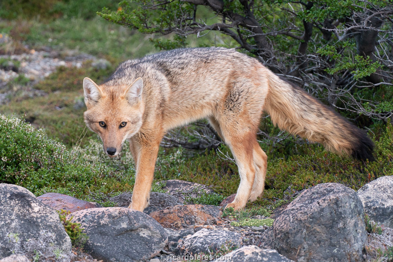
The fox was not very happy to be woken up.
Right at the beginning of the trail you have to cross a river, which can be done in a stretch where it is shallow, or in a small canyon, where there is a zip line. I don’t mind putting my feet in cold water, but since I was carrying a harness and carabiners, I decided to use them. When I crossed, I met Thibaud, a Frenchman who had just crossed and soon after came an English couple, who I ended up meeting too, but I walked alone, as I prefer.
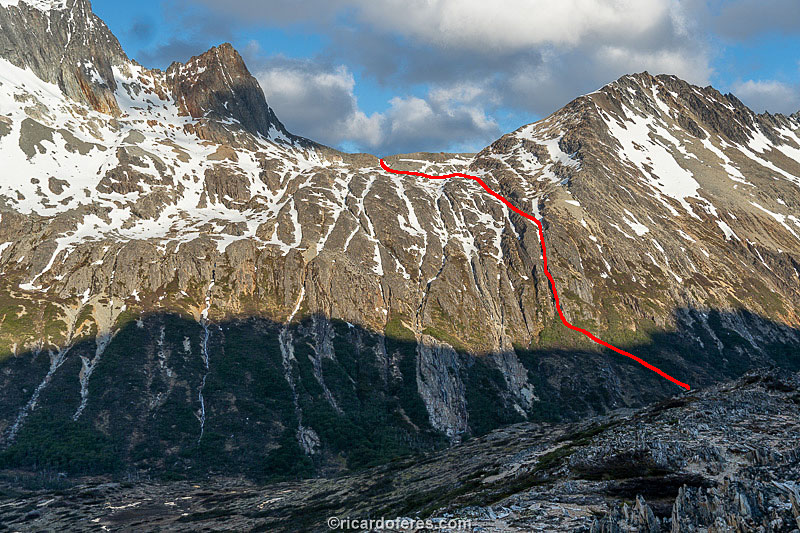
Barney on the first zip line of Vuelta al Huemul.
The trail follows a slope of loose stones, from small stones to large blocks of rock that, when we step on them, slide and take along the stones that are below and above the person. There are people who prefer to walk on the edge of the glacier that is below this slope, but I wanted to go a little higher so I could better photograph the Rio Tunel glacier. Boring stretch to walk and with a good chance of having a broken leg if one is not careful with the landslides caused by his own steps, but when arriving at the top of the Paso del Viento, the stunning view of the Southern Continental Ice Field was chilling! My Chilean friends, I’m sorry, but this view was even more impressive than the one from Paso John Gardner, in Torres del Paine.
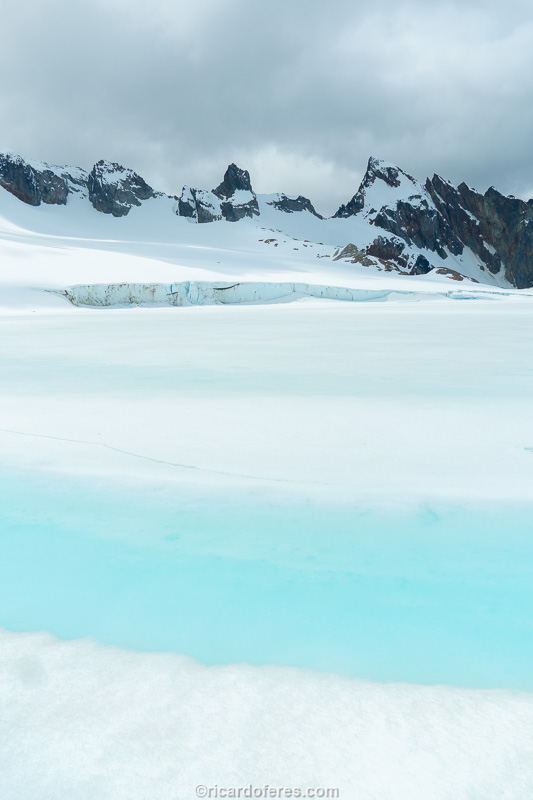
Viedma Glacier, part of the Southern Continental Ice Field.
I stayed there for a long time, talking to Thibaud and José, an Argentine who was on a day trip to the Paso and, of course, photographing and admiring the landscape, which unfortunately does not transmit the same impact in the photos because you cannot show the dimension of the glacier. Moment of contemplation over, I left with Thibaud towards Laguna del Refugio. Unfortunately, although the trail runs parallel to the glacier, there is no view as the trail goes through a valley. As we were the first to arrive at the camp, we were able to choose the best places for the tents and swim a little in its icy water, washing away the dirt from the first two days.
I won’t say it’s easy to get into a glacier lake, but it’s certainly invigorating.
The third day of the hike goes parallel to the glacier, but as you gain height to cross Paso Huemul, you will have a view to the Ice Field. I don’t know if it’s because today the day was sunnier, but I thought the view was even more impressive than the one from Paso del Viento. When I arrived at the top of the Paso, I went with the Frenchman to a lookout that is 40 minutes (one way) from the main trial, but it is a must, as from there you can see the end of the glacier and the beginning of Lake Viedma. As people usually arrive tired and want to go down to the beach right away, no one else that day went to the lookout, but I highly recommend doing so, because if this is not the most beautiful view of the whole circuit, it is close to being.
Then came the famous descent of Paso Huemul, which everyone says is very steep and dangerous, that you have to hold on to trees and rocks so as not to fall, blah blah blah. I don’t know if it was because I had already heard terrible reports of this stretch, but for me, what was worse were the countless horseflies that were surrounding me. As I had to use my hands to support myself on the poles, from time to time I would stop for them to land and I could kill them. During the descent alone, 17 horseflies discovered whether there is life beyond death, and this has become a constant on Patagonian trails during the summer, so come psychologically prepared because there is no repellent that scare them away.
Camping on Lake Viedma is an incredible experience, not so much because of the beach itself, which is made of stones, but because of the countless icebergs, of all sizes, that reach the beach. As it was a sunny and windless day, getting into the water was easy even for a Brazilian who doesn’t like cold water, after all, when will I have another chance to swim surrounded by icebergs? As for Heather, Barney’s girlfriend, the couple I met on the zipline, she was swimming for at least 15 or 20 minutes, as if she were in a heated pool, impressive! Undoubtedly, it was a good way to end the last day of 2019, since no one stayed awake to celebrate the turn of the year, everyone was sleeping soundly.
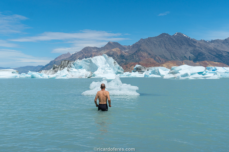
My tense arms show that again it was not easy to get into the water, but soon the body got used to it. Photo taken by Thibaud.
This photo, of course, was made to joke with friends who keep posting photos sunbathing on Brazilian beaches, but believe me, it’s not as cold as it looks. Photo taken by Thibaud.
The first day of 2020 started early, as I wanted to be on a peninsula before the sunrise, taking photos of Viedma Glacier, as the glacier cannot be seen from the beach. Once again the day was beautiful, with no clouds to block the sunrise, so I took my photos and soon started the long and tedious journey back to El Chaltén. After so many impressive landscapes, walking 30 km (19 mi) with few beautiful views and the legs a little tired, was really exhausting. That day there was one more zip line, over a river that I tried to cross on foot, but I gave up halfway, as it is deeper and stronger than it appears and I was afraid of getting my photo equipment wet.
As soon as I arrived in El Chaltén, one of the people from Brazil said that I looked very tired, while the other was more direct and said that I was a wreck. Friends, right… The next day, the camping administrator said “I think I saw you yesterday on the road, almost dragging yourself along the shoulder, was that you?”. Yeah, I think I started the year a little tired, but very happy for having taken the photos of the two circuits.
The next day I went to celebrate New Year’s Eve and the success of the trail eating a good Patagonian lamb with Thibaud, Heather and Barney. I still wanted to do a day hike, which is not part of the project but which is said to be very beautiful, but as there was no improvement in 3 days, I decided to move on, towards the Patagonia National Park, in Chile.
05 to 07/01/2020 - Southern part of Patagonia National Park (Chile)
After almost three weeks in El Chaltén, I hit the road again on another cloudy and sometimes rainy day.
Upon arriving at Camping Casa de Piedra, inside the Patagonia National Park, I parked the car and crossed the pedestrian bridge that leads to the camping area. Still on the bridge, I saw that there was a group of 5 or 6 people at the end of the lawn, on my right side, all looking at the bush, on the left side. I went to them and they told me that a cougar was going to the bridge but, when it saw me, went into the bush.
I had already missed the chance to see a cougar a few months before, in Torres del Paine, and now again, what a rage! Anyway, I pitched the tent but, while I was pitching it, I thought I couldn’t give up that easily. I crossed the bridge once more and went to the riverside in the direction where they said the cougar had gone. After about 20 minutes and no cougar, I went back to the camping area and people were still in the same place. I went to them again and they said “when you went to the other side of the river, it came out of the bush and is lying there”.
Finally, a cougar! It was about 50 meters away and the sun was going down. I didn’t have a lens long enough to photograph it with that distance and light condition, so I decided to get closer using a small tree that was on the lawn to walk hidden behind it. When I got to the tree, I took a few steps to the right, when the cougar raised its head and stared at me (photo 1). When he laid his head down, I started to approach very slowly, but it lifted his hindquarters and got into the position that cats do when they are about to rush out to get a toy. But it wasn’t a domestic cat and I didn’t want to become a cougar’s toy, so I stayed static until it lay down again (photo 2), when we stayed looking at each other for about 20 minutes, separated by 20 or 25 meters (65 to 80 ft) until, at night, it finally crossed the bridge I had blocked and went hunting for his dinner.
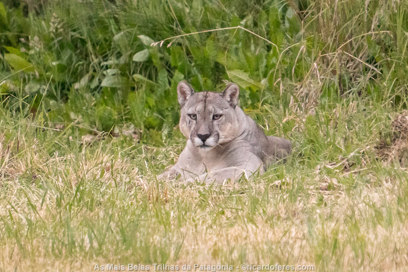
This is one of the 150 photos of the book The Most Beautiful Trails of Patagonia, click to see it.
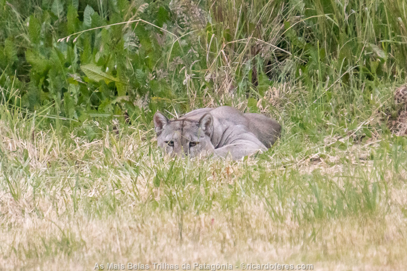
This is one of the 150 photos of the book The Most Beautiful Trails of Patagonia, click to see it.
As soon as the cougar crossed the bridge, the park ranger pointed to the tent next to where the cougar passed and asked me:
-Is that your tent?
-Yes.
-You will wake up with a cougar by your side.
-Good, it’s cold, we can sleep together.
He kept looking at me and I guess he was thinking something along the lines of “this guy is going to give me trouble”.
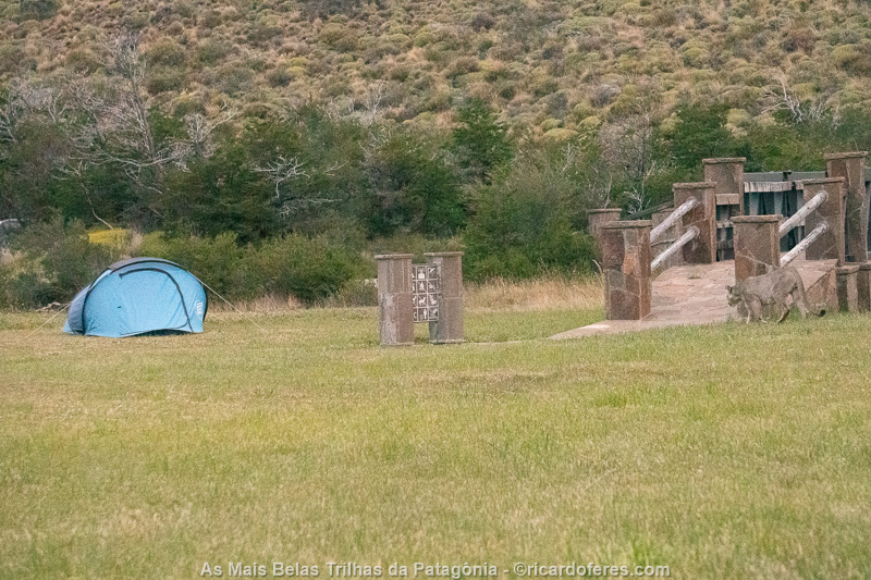
My tent and the cougar entering the bridge.
No more cougars, time to cook the dinner and go to sleep happy for finally seeing a cougar, a dream come true!
The next day, I woke up an hour before sunrise, packed my equipment, ate and then went out to photograph the southern section of the Jeinimeni-Avilés crossing. To facilitate the logistics, I thought it best to walk only with the photo equipment to walk fast, go further and went back to sleep at Camping Casa de Piedra, doing the other part of the crossing from the north, camping along the way until I find the last point that I photographed. That way I would go all the way twice, doubling the chance of taking good pictures, and I wouldn’t go too far from the car, since in this region there is no public transport to go back to get it. If I made the entire crossing, I would need to hitchhike to a city and, from there, take a bus and then another ride.
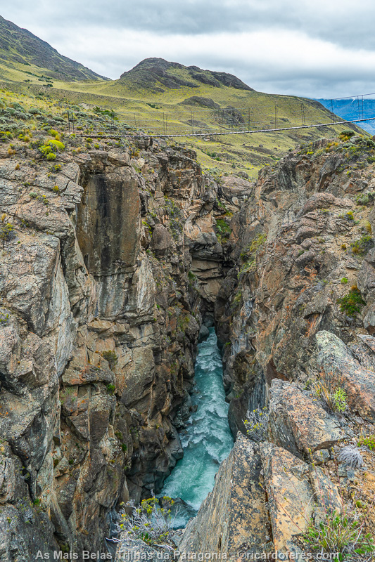
Bridge over Avilés river.
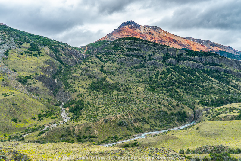
Avilés valley.
Leaving the annoying logistics aside, the day was overcast and this part of the park is beautiful, but not as beautiful as the other trails I’ve done in Patagonia. When I arrived at a lookout point with a beautiful view of Avilés valley, I took some pictures and spent two hours waiting for the weather to improve a little so I could take pictures with more beautiful light. The light didn’t improve and I went back along a trail on the other side of the Avilés River when I came face to face with a fox that was walking absent-mindedly. It was so startled when it lifted her head and saw me that it must be still running.

Fox walking along the trail. This is one of the 150 photos of the book The Most Beautiful Trails of Patagonia, click to see it.
One more night at Camping Casa de Piedra and, the following morning, as the sky had few clouds, I decided to hike the trail again. The forecast was of rain for that day but luckily, it was wrong. Well, not so wrong, after a couple of hours, the weather changed and it started to drizzle, so I went back to the camp and, on the way back, the rain increased. When I was almost at the end of the trail, it appeared a beautiful rainbow.
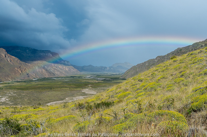
Avilés valley. This is one of the 150 photos of the book The Most Beautiful Trails of Patagonia, click to see it.
Upon arriving at Casa de Piedra, I packed everything, said goodbye to Misael, the nice park ranger who was taking care of the campsite, and drove to Cochrane, a nice little town on the Carretera Austral.
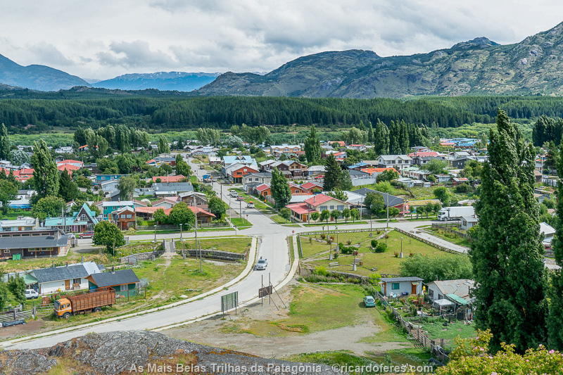
Cochrane.
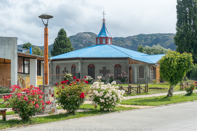
Cochrane.
08 to 10/01/2020 - Villa O'Higgins and Caleta Tortel, Carretera Austral (Chile)
Instead of heading north and continuing to photograph Patagonia National Park, I decided to take drive south, as I was on one of the most beautiful roads in the world, the Carretera Austral. But today I stopped to sleep in Cochrane and, even though I stayed in a very simple room (very bad, actually), it was really nice to sleep in a bed after spending 3 weeks in the tent.
As the day was kind of rainy, I went straight to Villa O’Higgins, leaving to visit Caleta Tortel on the way back. In fact, overcast weather and a little rain is the norm in this part of Patagonia, which at least gives a large volume of water in the many and beautiful waterfalls that are seen from the road, especially in the last stretch, already close to O’Higgins.
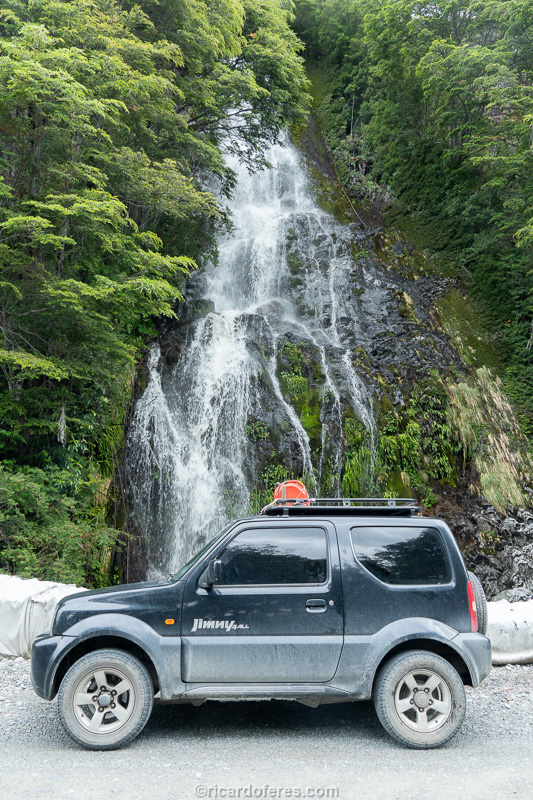
One of several waterfall in the side of the road.
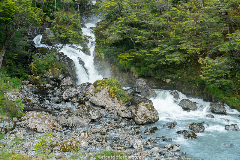
Another waterfall near Villa O’Higgins.
It’s only 250 km from Cochrane to Villa O’Higgins, but the journey is slow, not only because it is a dirt road, but also because it has many curves, is narrow and the landscapes are always making the driver stop for a photo. In my case, I also stopped to change a flat tire again and, when I arrived in the village, I lost some time waiting for the tire repairman to get back to work, as nobody knew where he had gone.
The village is very small and beautiful, but the prices for accommodation are higher than in other villages I visited in southern Chile. As I was staying only one night, I didn’t bother to research too much, but if you want to stay several nights, take a good look before you go so you don’t break your budget.
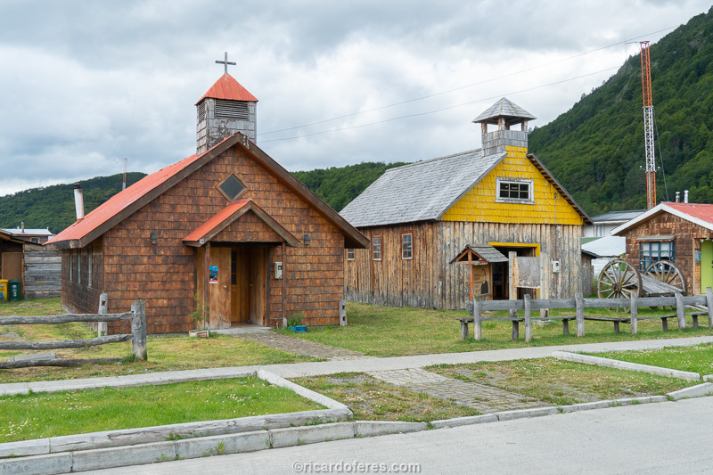
Villa O’Higgins
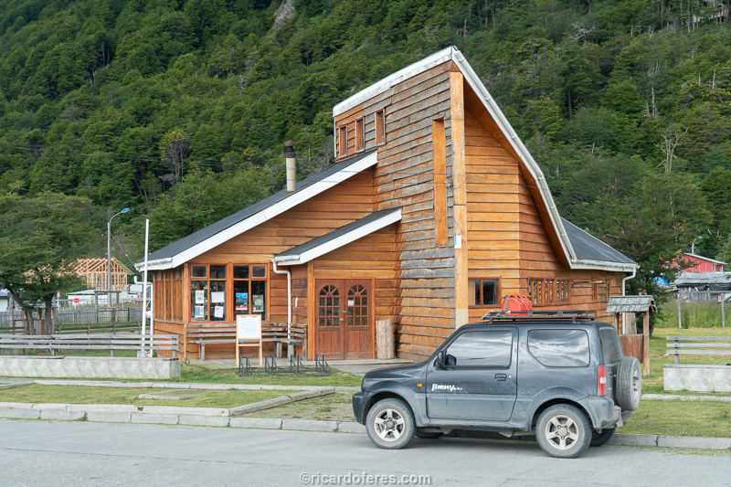
Villa O’Higgins
There are some day trails to do, leaving the village, but as this is not part of the book’s project and I was there just to see the Carretera Austral, I left the trails and boat trips aside and, once again, I had a good night’s sleep in a warm bed.
I left early, as usual, and went to Caleta Tortel, a village built on stilts and with 6 km (3.7 mi) of walkways connecting the buildings. As it is a town with a unique style throughout Chile, it is one of the main attractions of the Carretera Austral.
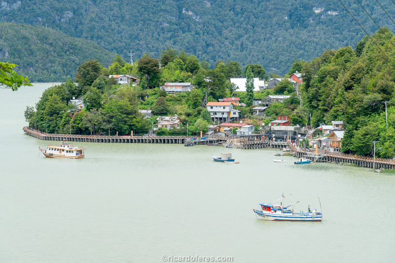
Caleta Tortel
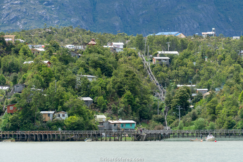
Caleta Tortel
I slept again in Cochrane and, now, with more time to look for accommodation, I found a better and cheaper place than the one two days before.
With the weather forecast improving, it was time to get back to work and I went, on January 10th, to Chile Chico, the town closest to the northern entrance to Patagonia National Park. I know I’m being repetitive when I say that the road is beautiful but, again, I had to stop several times to photograph and, if I hadn’t been in a hurry to get back to the hikings and take advantage of the window of good weather, I would have camped on the side of Baker River .
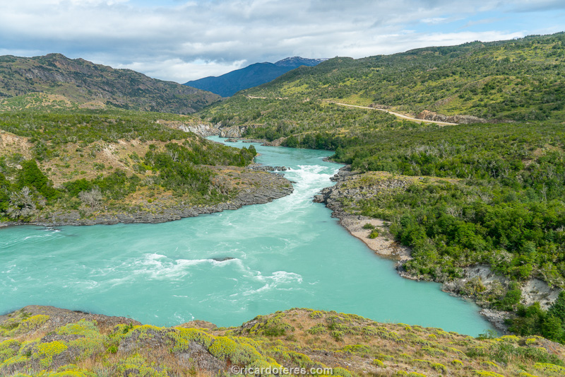
Baker river and Carretera Austral
Chile Chico is a city with less than 5,000 inhabitants, but with a good tourist structure. It is on the shores of the second largest lake in South America, second only to Titicaca. This lake, on the Chilean side, is called General Carrera and, on the Argentinean side, it is called Buenos Aires.
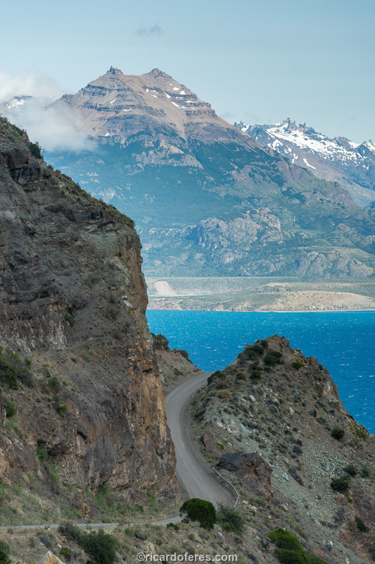
Road that connects the Carretera Austral to Chile Chico.
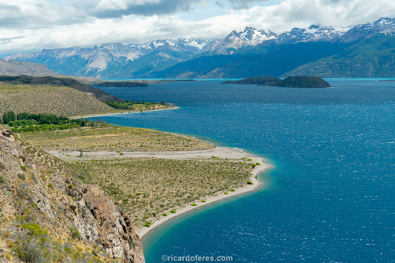
Lake General Carrera
After driving along the lakeside and taking a walk around in the town, I went to sleep with my stomach full of a good pizza and eager to start taking pictures to the book again.
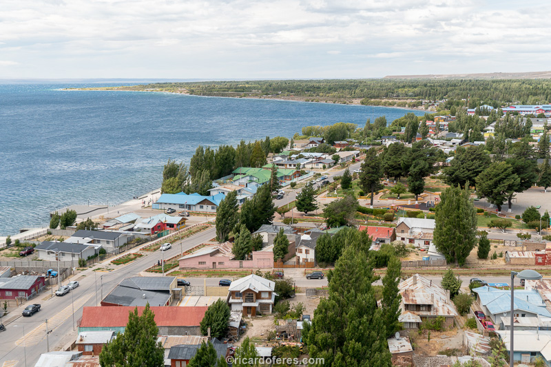
Chile Chico, closest town to the northern entrance of Patagonia National Park.
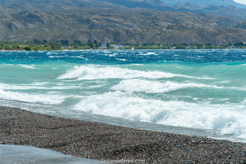
With an area of 1,850 km² (714 mi²) and the waves created by the strong winds, the lake looks like the sea.
11 to 14/01/2020 - Northern part of Patagonia National Park (Chile)
There is no public transport to reach the northern entrance of Patagonia National Park, which was formerly called Jeinimeni National Reserve, so I left the equipment I would not use on the crossing at the inn in Chile Chico, so as not to worry about having my car broken into. The long dirt road already gives an idea of what lies ahead, with beautiful landscapes and few people, since this park was created not long ago and is still not very famous.

Road that connects Chile Chico to Patagonia National Park. This is one of the 150 photos of the book The Most Beautiful Trails of Patagonia, click to see it.
I only needed a day and a half to do the remaining photos of this hike and, talking to the park ranger, he said “tomorrow the weather will be fine, but the day after tomorrow, no”. I had seen that it would be two good days but, in doubt, I decided to start the trail on the same day to be in the most beautiful region when the sky was clear. Another tip he gave me was “if you go into Valle de los Glaciares, keep an eye open because you might find huemules”. The huemul is the Patagonian deer, but I didn’t take what he said very seriously, it’s very rare to find this animal.
The trail begins around Jeinimeni Lake and, soon after, the crossing of rivers and streams begins. They are almost never deep, but depending on the rains or the heat, which quickly melts snow and glaciers, the level can rise and it becomes impossible to jump over them. I recommend that you do the trail with shoes that can get wet, because if you take them off every time, you will waste a lot of time.
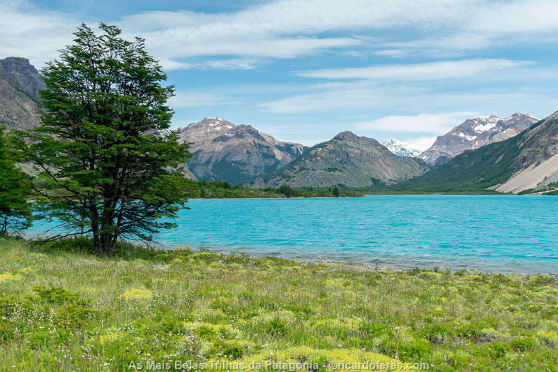
Jeinimeni Lake
The only mountain crossing with a certain elevation during this hike is the Portezuelo La Gloria, which offers a beautiful view of Verde Lake. However, if you want to have an even better view, when you reach the top of Portezuelo, turn left and go up the hill to have one of the most incredible views in all of Patagonia. The photo I took of this lookout is not here, but you can see it on this page: https://ricardoferes.com/trilhas-patagonia-en/
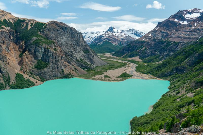
Lago Verde seen from Portezuelo La Gloria. The trail continues through this valley.
After this mountain pass, you have to cross a narrow and deep river, which can have a strong current, so be careful not to get all your equipment wet. From there, it’s a few kilometers to Refugio Valle Hermoso, the first overnight place.
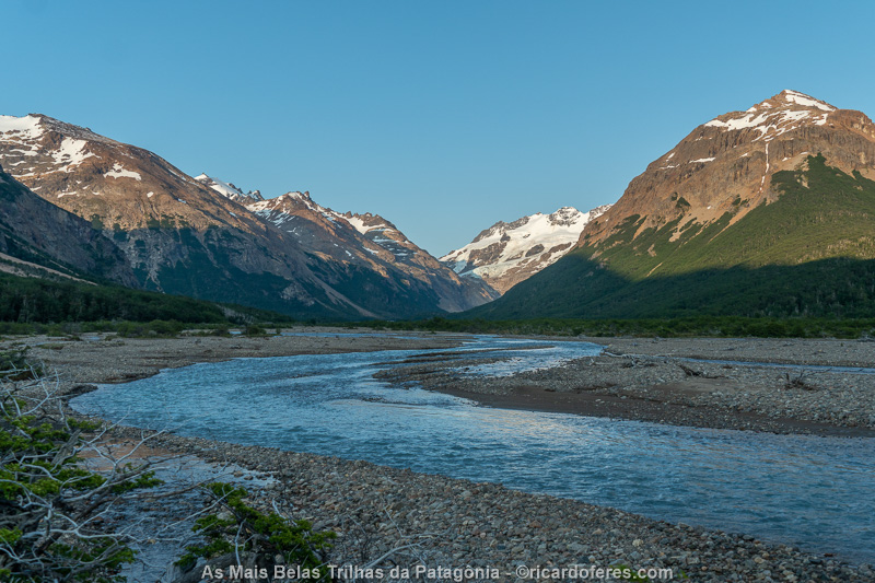
Valle Hermoso and the river that must be crossed several times.
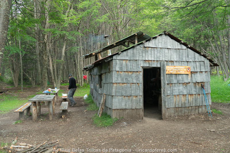
This is Refugio Valle Hermoso, which is actually just a shed that makes life easier for those who are going to cook.
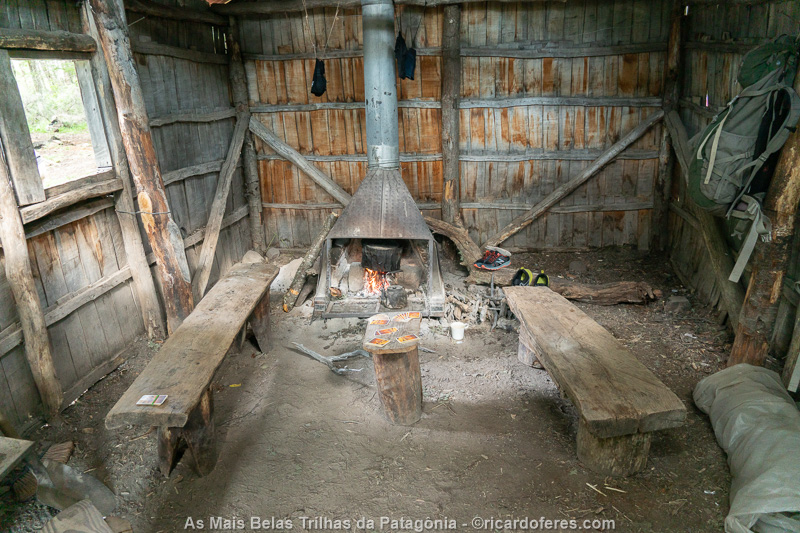
Interior of Refugio Valle Hermoso.
On the second day, I left early and went to Valle Hermoso glacier, but I didn’t think it was worth the effort because the lake is not very beautiful, as you can see in the photo below. Afterwards, I crossed from Valle Hermoso to Valle Chacabuco through a, easy mountain crossing and continued to a good camping spot next to a ruin. As it was a full moon night, I wanted to be close to the river so I could take pictures under the moonlight and I was lucky that the sky wasn’t overcast. However, the photos can only be seen in the book The Most Beautiful Trails of Patagonia.
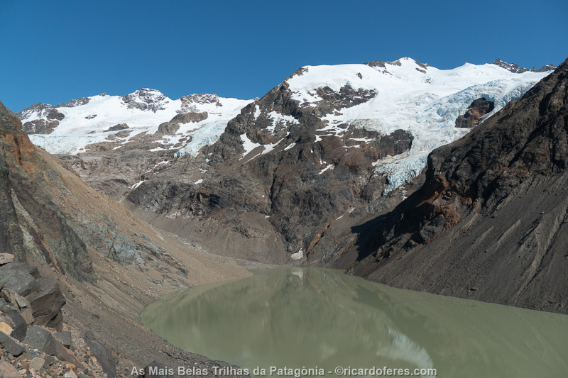
Valle Hermoso glacier
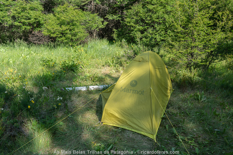
Great area for camping as it is well protected from the wind and is close to the river.
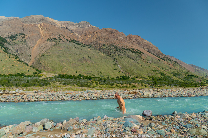
Many times I went into very cold lakes and rivers to take a bath, but that day I didn’t have much courage; I just dabbed some water on my armpits and then soaked myself up to my waist. For those who are walking alone, it’s good enough!
Before sunrise I was already packing my equipment and left very early for the south, to find the point where I had stopped last week, when I started the trail from south to north. The view did not change and, as soon as I completed this path, I returned to Valle Hermoso and, from there, entered Valle de los Glaciares.
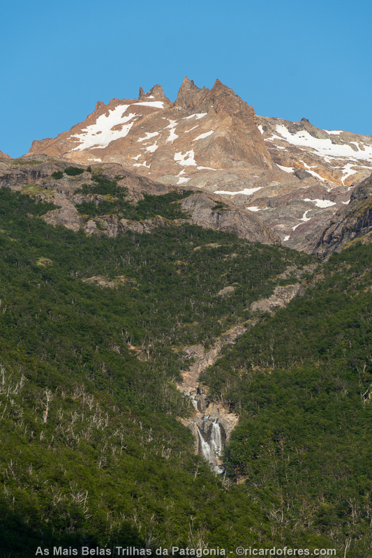
Waterfall at Valle Hermoso
There was a trail that went alongside the river, but it soon ended and I had to walk again along the dry bed and, several times, had to cross it. As I didn’t want to get my boots wet, I took a pair of flip flops and used them when crossing rivers or even walking along dry riverbeds, when I saw that the crossings would be constant. If you do the same, make sure it doesn’t get off your feet, as happened to me, that had to run after one that was being taken away by the water. Good thing there were no witnesses to this ridiculous scene!
A little ahead, I look to the right and was surprised for seeing two huemules about 200 meters (650 ft) away from me. Isn’t the park ranger serious? I approached slowly, in zig-zag, trying not to show much interest and not looking directly at the deer so as not to scare them. What I didn’t expect is that the female was as curious about me as I was about them, and she approached without any fear. She came so close that I moved my arms for her to stop, as I didn’t feel like facing the male and his horn in case he became irritated by the proximity. Gradually, I saw that he was also calm and I sat down about 15 meters (50 ft) from them, staying for 20 or 30 minutes watching the huemules eating and resting.
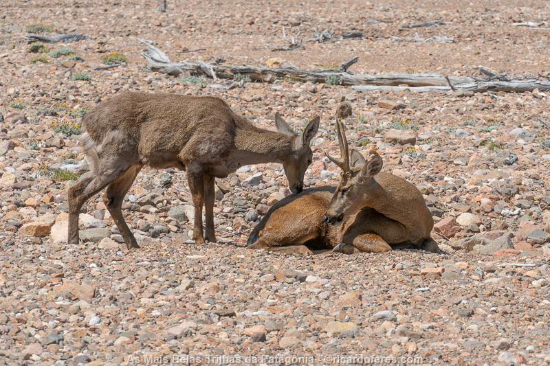
Huemul couple
Even though it was amazing to be able to sit next to the deer, I still needed to photograph the glacier and walked a few more kilometers to it. Unlike Valle Hermoso, this glacier was worth the walk and, even though it is not always mentioned by those who make the Jeinimeni-Avilés Travesía, I think it should not be left out.
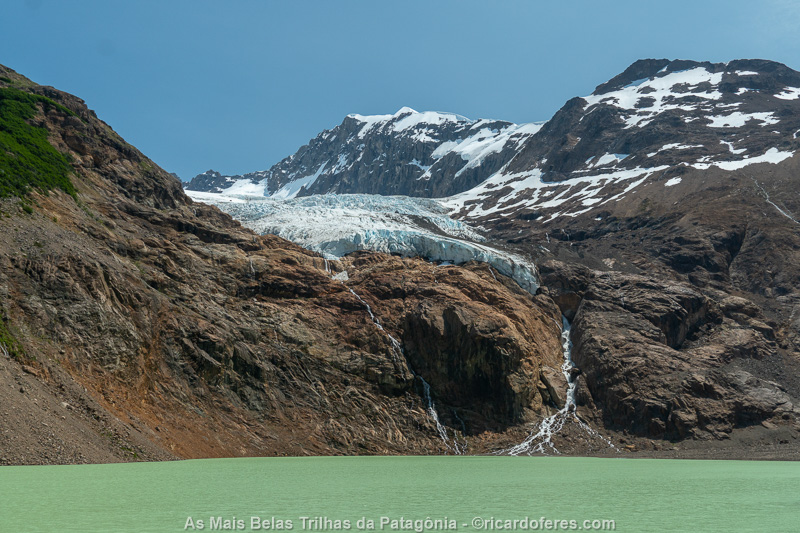
This is the first glacier in Valle de los Glaciares and it is important not to confuse it with Valle Hermoso, I saw people that went to Valle Hermoso, thinking that they were at Valle de los Glaciares.
Photos taken, I returned at the end of the day to Refugio Valle Hermoso, where I slept happy for having completed all the photos I needed for this chapter of the book.
The fourth and last day was easy, with just the walk back to the car. With bad weather, I gave up going up to Jeinimeni Lake viewpoint, which is very popular with day hikers.
When I arrived in Chile Chico, at the place where I had stayed before the hike, the rooms were all occupied, but the owner let me use an entire chalet, charging only the price of the room at the inn. It was good because I had a lot of space in the big room to clean the equipment used on the trail, before a well deserved rest.
15 to 19/01/2020 - Cerro Castillo National Park (Chile)
January 15, 2020 dawned beautiful in Chile Chico and I decided to go back to Patagonia Park. The photos were ready, but I still wanted to do a side trail and decided to enjoy the sun.
Halfway there, I could already see that, in the Park, the weather was very different, with clouds covering the mountains and rain, so I went back to the chalet and spent the day editing photos.
The next day, I went back to the Park and, once again, I returned when I was still halfway there, deciding that I wouldn’t try a third time, it was time to continue on to the next hike, in Cerro Castillo National Park.
Back at the lodge, I saw that the forecast for the 18th was good, so I went straight to Villa Cerro Castillo, the base for those going to the national park.
Between Chile Chico and Villa Cerro Castillo are Capillas de Mármol, incredible rock formations on Lake General Carrera that I’ve dreamed of photographing for years, but even so, I decided not to do it because I didn’t want to miss the window of good weather that would start on the afternoon of the 17th or the morning of the 18th. I’m sure I’ll return to this region and, from there, visit the Capillas de Mármol, which are reachable only by boat.
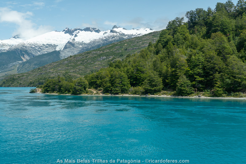
Lake General Carrera on the way to Cerro Castillo.
As I had not looked for accommodation in Villa Cerro Castillo, I asked at the Information Center for campsites and inns and went to check. I stayed in a place that I didn’t like right away, but as there was a safe place to leave the car, I decided to take a chance and what I wrote in the diary shows that my impression was correct: “Bad shower, small bed, tiny room and dirty sheets, as it was full of hair, so I slept in my sleeping bag. To make matters worse, at night they turned off the internet and I couldn’t check the weather forecast and the National Park website”.
This was the worst place I slept the whole trip, but it was worth it to have the car and luggage in a safe place. On the way back from the trail, I certainly won’t sleep here.
The most common way is to make the hike in an east-west direction, so that, when the trail is finished, it is not necessary to take transport to the village, since the stretch of paved road is done before starting the hike. However, I decided to do it in the opposite direction because, if the forecast was right, I would arrive at the most beautiful point of the crossing in good weather.
I walked for 7 km on a boring dirt road, until I entered the Park. As I decided at the last minute what my route would be, I didn’t have time to find transport and, even so, a normal vehicle would only take me part of the way, since the last kilometers are only done by 4×4.
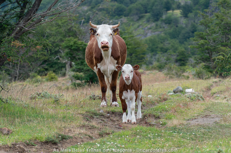
At both entrances to the park there are farms with cattle.
The trail to the New Zealand camp is a constant climb and, with bad weather, I didn’t worry about getting there soon because the mountains were hidden by the clouds. After pitching the tent, I decided to go to Laguna Duff, as at least it wasn’t raining anymore.
As I climbed, the clouds began to dissipate and my hope grew, until, when I arrived at the Laguna, there was sun and blue skies, it was perfect!
Upon returning to the camp, I talked for some time with a Portuguese man who was starting a long trip through South America, I gave him some tips about Patagonia and Brazil and went to the tent early to leave with the sunrise.
Despite being the height of summer, night temperatures are always close to 0 ºC (32 ºF). That night it was 2 ºC (36 ºF) and I felt some cold because I have a sleeping bag that has a comfort temperature of 1 ºC (34 ºF), but that comfort must be for a Russian.
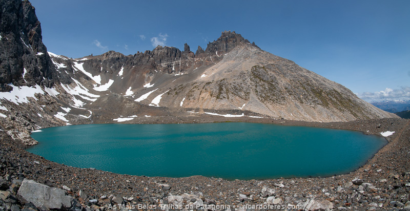
Laguna Duff
As I had already photographed Laguna Duff in good light, I went straight to Laguna Cerro Castillo, the most important point of the hike. Finishing the steep ascent of Cerro Negro and coming face to face with Cerro Castillo and its lake is incredible and a surprise only experienced by those who cross it in reverse.
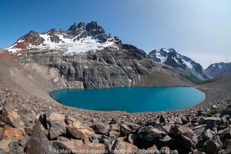
Cerro Castillo
After enjoying the view, I followed a beautiful path, passing through rapids and waterfalls, to El Bosque campsite, where I left my things and made a day trip to Laguna Témpanos. Although many people do not take this side trail, I recommend it because the icebergs (témpanos in Spanish) are beautiful and the path is short, with almost no ascent.
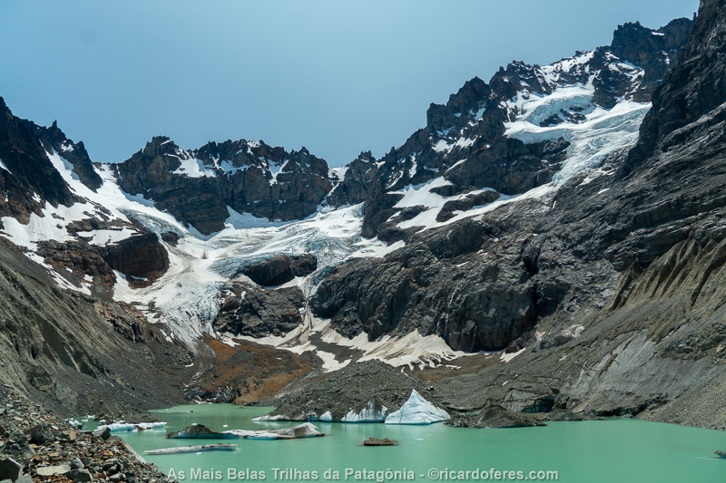
Laguna Témpanos. This is one of the 150 photos of the book The Most Beautiful Trails of Patagonia, click to see it.
On the third day, I left at 5:48 am and at 11:00 am I was already at the next campsite, even though I had taken the side trail to Laguna El Turbio, which is not beautiful and I don’t recommend it. As it was still too early, I decided to cover two walking days into one and arrived on the road at 16:10. The last stretch, like the beginning of the first day, is not very interesting, passing through some farms and a few interesting landscapes, but the worst part was enduring the swarms of horseflies, which in summer can be abundant.
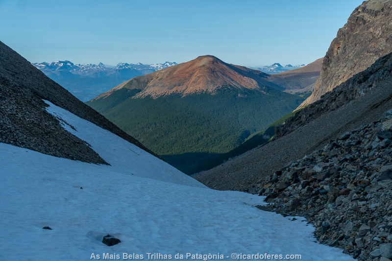
Crossing Paso Peñón requires care as the daytime heat and nighttime cooling turn the snow to ice and it is easy to slip.
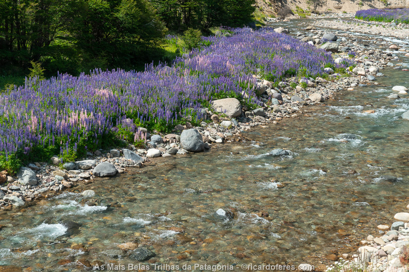
In summer there are several flowers along the rivers and streams.
When traveling in a group it is difficult to get a ride, but alone and with a backpack, the drivers show solidarity and the third car that passed by already stopped. It was a family with 4 people and, even so, they found room for a dirty and stinky hiker. Eight kilometers before my destination, they had to take another road, so I got off and stayed close to the bus stop, so I could catch it in case no one else stopped to help me.
Shortly after, two women in their 20s appeared and stopped next to me, also asking for a ride. Then, of course, nobody stopped because they thought we were together and having 3 free seats in a car is rare. Thankfully, after about 15 minutes they realized their mistake and went a little further, which would not only make my life easier, because I was alone, but theirs too, since there are people who prefer to give rides to women.
Shortly after, a very old car stopped, being driven by a man over 60 years old and with a breath of alcohol that I felt as soon as he asked “Where are you going?”. “Thanks but I’m expecting a friend”, I replied. So he drove a little more, stopped and gave the two women a ride…
Soon after, another car stopped, this time with a young and sober couple. He was driving and I was in the passenger seat, as the wife was in the back with the baby and a dog. A very friendly and curious couple, we had a quick but pleasant conversation, until they dropped me off at Villa Cerro Castillo and I took my car from the terrible accommodation I mentioned earlier. If the owners thought I would sleep there again, they were so wrong!
I decided to go to Coyhaique, a town further north, but on the way there is no gas station and I didn’t have enough in the tank, so I used the extra gallons I had bought in Ushuaia and, until then, they were just cruising around Patagonia, with no use.
In Coyhaique it was difficult to find a hostel with a good price and parking. The camping I liked was full, so I went to another one that was a bit noisy, especially because of the owner’s dogs that barked nonstop. By midnight I got tired of trying to sleep and talked to the owner, who finally quieted the dogs.
20 to 23/01/2020 - Futaleufú (Chile) and El Bolsón (Argentina)
Day 20 was spent only to take clothes to the laundry and editing photos on the computer, so I stayed at the campsite most of the day.
On the 21st I went to Futaleufú, making several stops to photograph the beautiful rivers and lakes on the way.
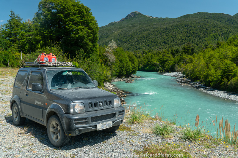
Cisnes river.
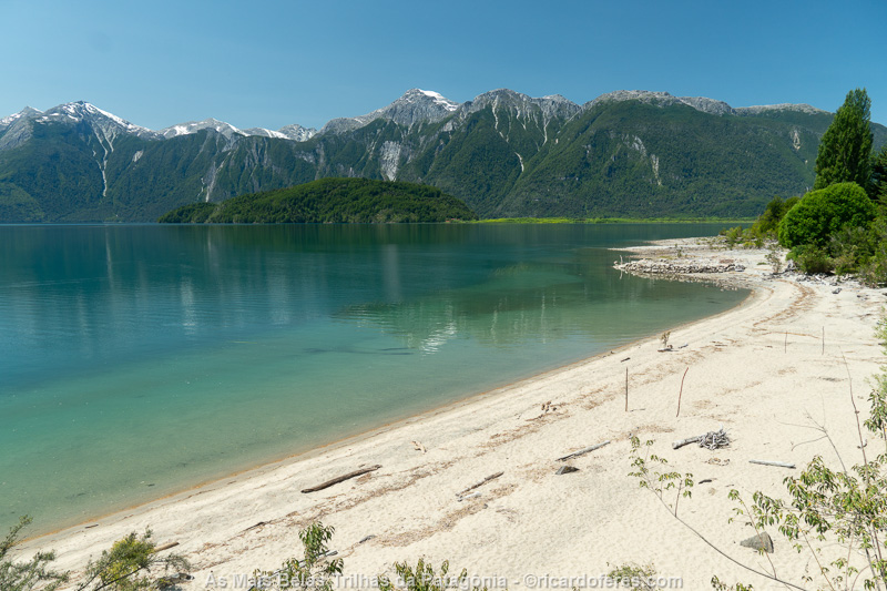
Yelcho lake, another beautiful view between Coyhaique and Futaleufú.
In Futaleufú I met with some residents to check if there were long distance trails and my suspicion was confirmed, unfortunately there aren’t. So, I went straight to El Bolsón because the next two days I would have good weather and I wanted to take the chance to photograph a circuit that looked very interesting.
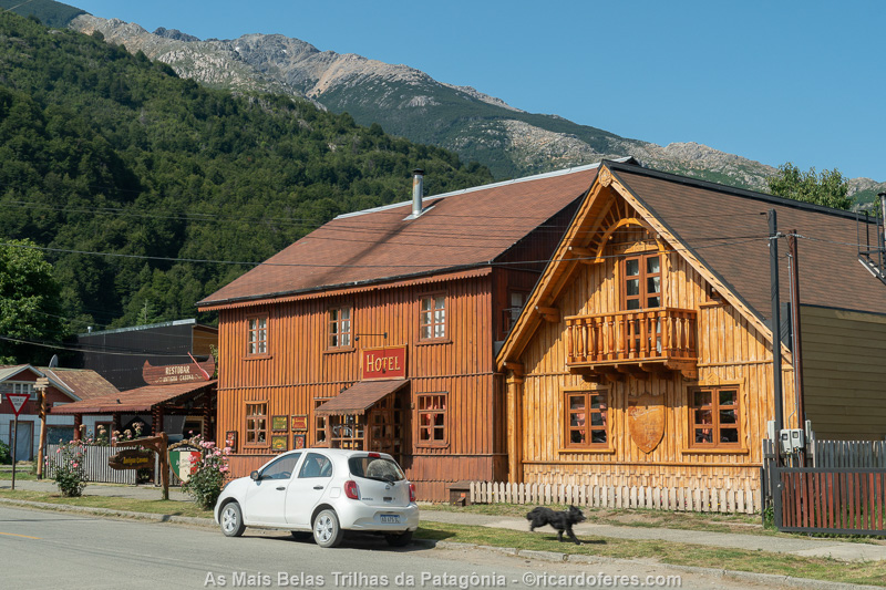
Futaleufú.
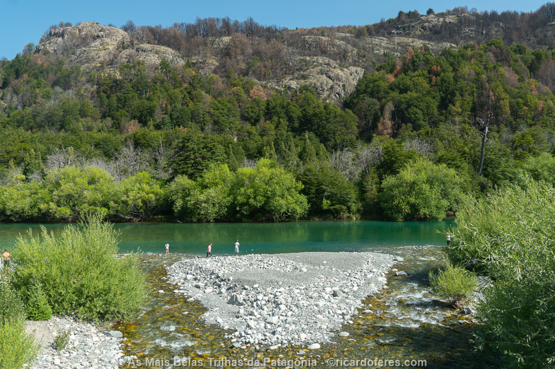
Futaleufú is famous among rafting practitioners but, for hikers, there are not many options.
Upon arriving in El Bolsón, I went straight to a hostel that I thought had single rooms but I was wrong. As it was already late and there was plenty of space to leave the car while I would be in the mountains, I decided to stay and sleep in the shared room, which I avoid as I’m a light sleeper and there’s always someone snoring.
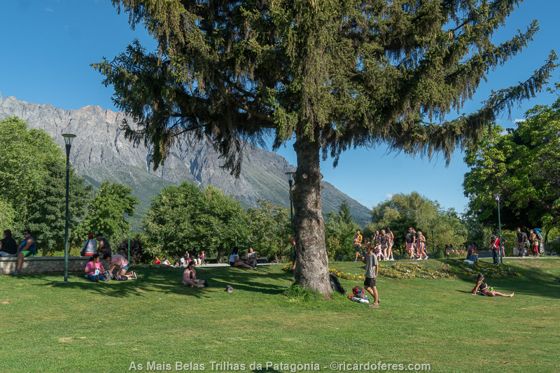
El Bolsón is full of tourists in the summer, who spread out its squares, restaurants, rivers and mountain huts.
Upon waking up, I headed straight to the Information Center to find out how to get to and from the trailhead. On the way back to the hostel, I had breakfast and left for the mountains.
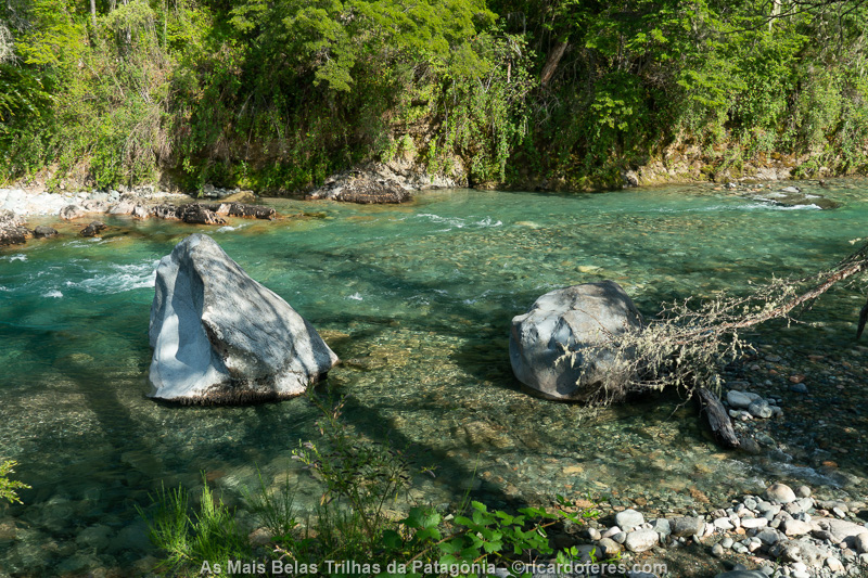
The trail begins next to the beautiful Río Azul (Blue River).
The Refugio Hielo Azul, where I spent the first night, is next to the river of the same name and, as it was high season, it was crowded. There were people barbecuing, sunbathing, drinking, smoking a joint… Anyway, it is a place for backpackers, not mountaineers.
Despite the shelter employee saying that there was no more time to go to Hielo Azul Glacier, there was plenty of time and I climbed for just over an hour to the glacier to discover that there is no more glacier, just some snow and the lake. Beautiful, but nothing exciting.
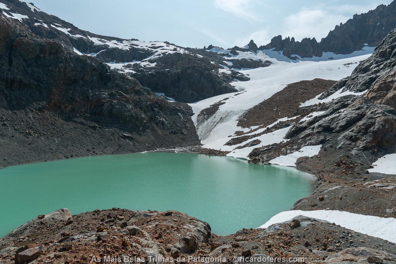
Hielo Azul Glacier, which is not actually a glacier.
When I went to sleep, a guy who had been playing the guitar and singing all afternoon hadn’t stopped yet, but he was a little away from the tents and it didn’t bother, but at 3 am the guy decides to walk between the tents, playing and singing. There are no ear protectors that come in handy… How I miss the camps frequented only by mountaineers!
On the second day of the hike, I walked just an hour to Refugio Natación, where I left the backpack to go up Cerro Hielo Azul. Leaving the backpack was right, but I learned never to leave the kit I have to fix the sole of the boot in case it comes loose. That’s because with only 1 km (0.6 mi) left for the summit, the two soles started to come loose and I thought I’d better go back before having to walk with just my socks on, since the laces wouldn’t be enough to hold the two soles together. Okay, I already had the view almost 360 degrees, I saw that it’s beautiful but I could see that the El Bolsón circuit is not on the same level as the others I’ve done and it wouldn’t make it into the book.
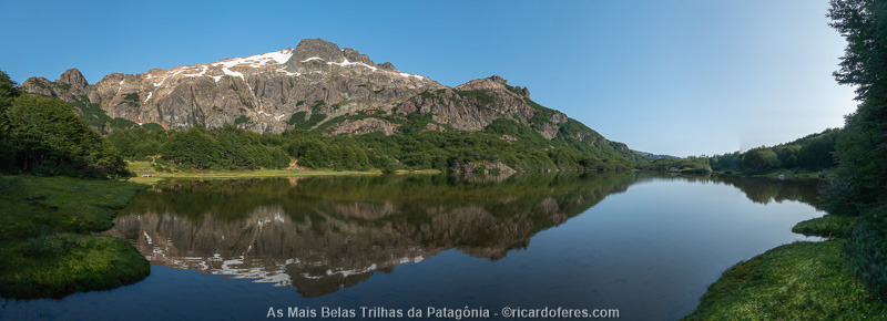
Natación lake and Cerro Hielo Azul
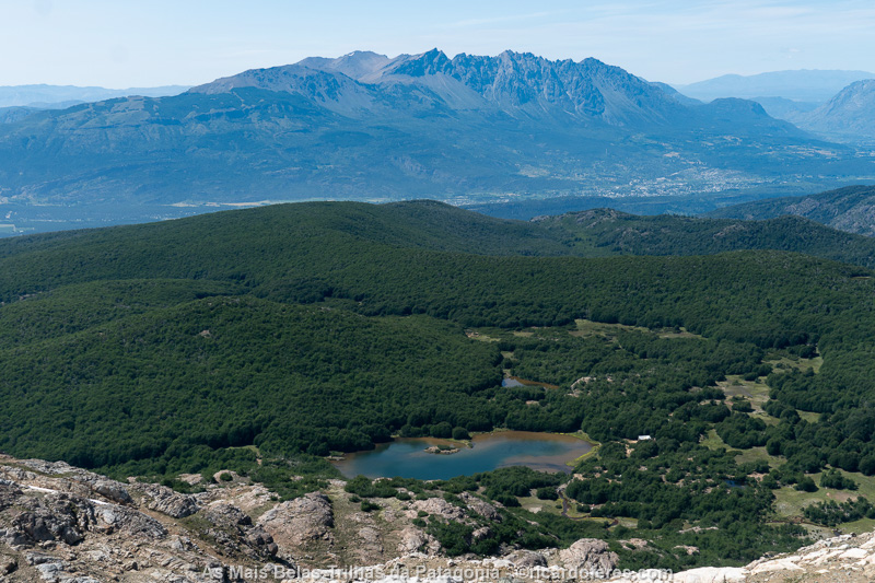
Natación lake seen from Cerro Hielo Azul and, in the background, El Bolsón
I arrived at the Refugio with both soles almost completely loose, so I strapped them on and went back to the hostel in El Bolsón, where I spent one more night, but in a tent, for more privacy and peace of mind.
Some zip ties and the boots were ready to take me back to El Bolsón. I can’t complain, after thousands of kilometers it’s natural for this to happen.
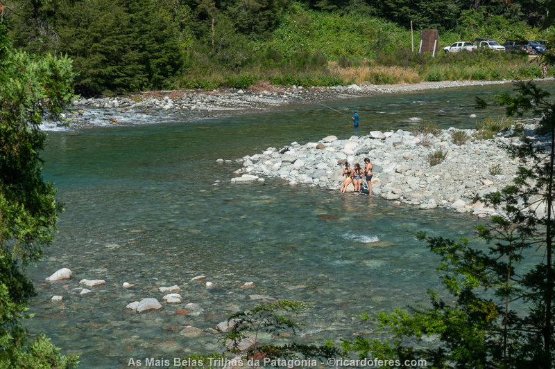
At the end of the trail, there were bathers and fishermen sharing the Azul River.
The hostel owners, along with some guests, were having a lamb barbecue and I took the chance to try it (it was great!) while chatting with a Frenchman and an Argentinian woman, until I went to sleep around 11:00 pm.
24/01 to 09/02/2020 - Bariloche (Argentina)
On 24th I went from El Bolsón to Bariloche and immediately looked for a shoemaker to try to fix my boots. Thankfully he said they can be fixed, which is great because these boots fit me so well, I can walk more than 30 km (18 mi) in one day without getting blisters.
The 25th was cloudy, so I took the chance to change the oil of the car and decided to start the first hike in the Nahuel Huapi National Park the next day, even with the forecast not being very good.
Several years ago I read an article about Colonia Suiza-Pampa Linda hike and it looked incredible. Today, 01/26/2020, I finally started the crossing, which until Laguna Negra is done almost entirely through a beautiful forest. The view changes on the last climb, the steepest, which leads to the lake and which, on its shore, is Refugio Italia.
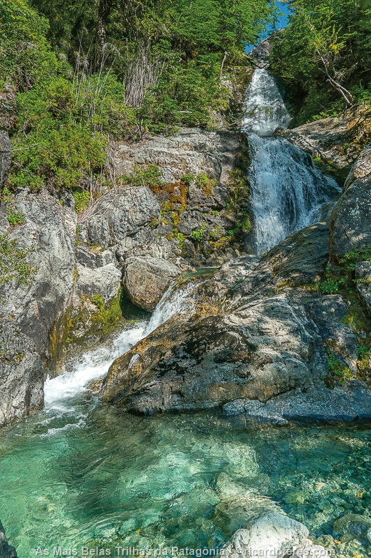
Waterfall between Colonia Suiza and Laguna Negra.
Laguna Negra is beautiful, but as it was early, I went to Laguna CAB, that has a lot less people since it doesn’t have a shelter and is not as beautiful. As the lake level was high, I had to take off my boots and walk through the water to camp on the other side, as I didn’t want to start the next day walking in the water. I did it clockwise and, hours later, someone who decided to go around the lagoon in the opposite direction, fell into a hole and got soaked. Everything got wet, except his pride, as he pretended nothing had happened.
Here I met two Argentines, Federico and Matías, both very friendly. Later a group of 6 people arrived and it was difficult to sleep with their loud conversation, there are people who think that tents are noise proof.
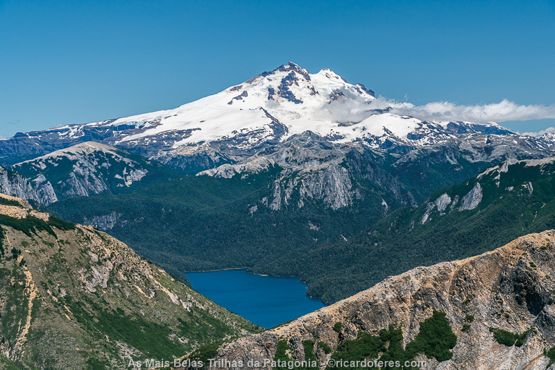
Cerro Tronador. This is one of the 150 photos of the book The Most Beautiful Trails of Patagonia, click to see it.
The 27th dawned beautifully and I went straight to Laguna Cretón. Just like after Laguna Negra, now the hike takes place above the tree line, which makes the view always interesting. As for Laguna Cretón, this one is not so interesting and, as there was still time, I went to Laguna Azul.
Before arriving at Laguna Azul camping area, I had one of the most beautiful views of the entire trip, from a lookout point that shows the lake with such a deep blue that, in the photos, people always ask if the color is real or it’s Photoshop. Believe me, it’s real and it’s unforgettable, this lake is one of the three most beautiful in all of Patagonia, in my opinion.
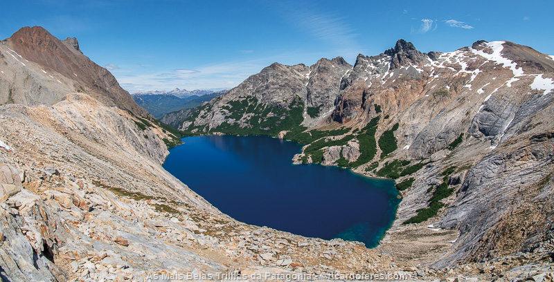
Laguna Azul lookout. The campground is on the other side, in the woods. This is one of the 150 photos of the book The Most Beautiful Trails of Patagonia, click to see it.
I slept peacefully, away from other tents and, as it was warm that night (9 ºC / 48 ºF, amazing!), I woke up sweaty and had to open my sleeping bag.
On the 28th, I woke up at 5:30 am but, as the weather was bad, I went back to sleep. I got up at 7:30 am and left towards Laguna Ilón, with cloudy weather. Good thing I had already taken pictures of Laguna Azul because today, with the lack of sun, it wasn’t so beautiful.
When I was at the viewpoint of Laguna Azul again, I met Federico and Matías and we walked together to Ilón, which is not as beautiful as Azul but faces Tronador and has a good beach for swimming.
At the end of the day, the Argentines invited me to go to Mirada del Doctor, which has an incredible view to Frey Lake, and when we got back they invited me to eat cream soup with pasta. At first I refused, as I wouldn’t have anything tasty to contribute, but since they didn’t have bread, it wasn’t a very unfair exchange.
Unlike the previous night, this time below freezing temperatures occurred again.
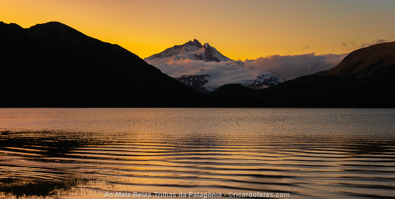
Dusk at Laguna Ilón with Monte Tronador in the background. This is one of the 150 photos of the book The Most Beautiful Trails of Patagonia, click to see it.
I photographed the dawn of the 29th, capturing the lagoon with the Tronador in the background and leaving right afterwards towards Pampa Linda, the end of the hike. But not for me, as I joined the trail to Refugio Otto Meiling, a long climb to a shelter and camping area on Monte Tronador.
After finding a good place for the tent, overlooking the summit, I went out to take pictures and saw a skier going up the glacier and skiing down. Afterwards, I saw this person in the camping area and I was impressed to realize that he was a gentleman around 75 or 80 years old!
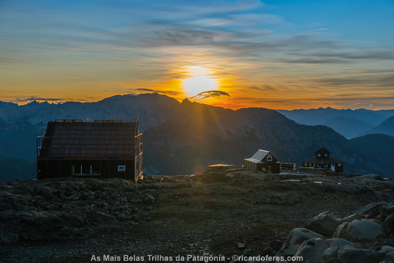
Otto Meiling shelter at dawn.
The dawn of the 30th was again beautiful and, right after that, I went to the base of Castaño Overo Glacier to photograph the 120-meter (400 ft) high waterfalls formed by the melting ice. Then I went back to Pampa Linda and took the van to Bariloche.
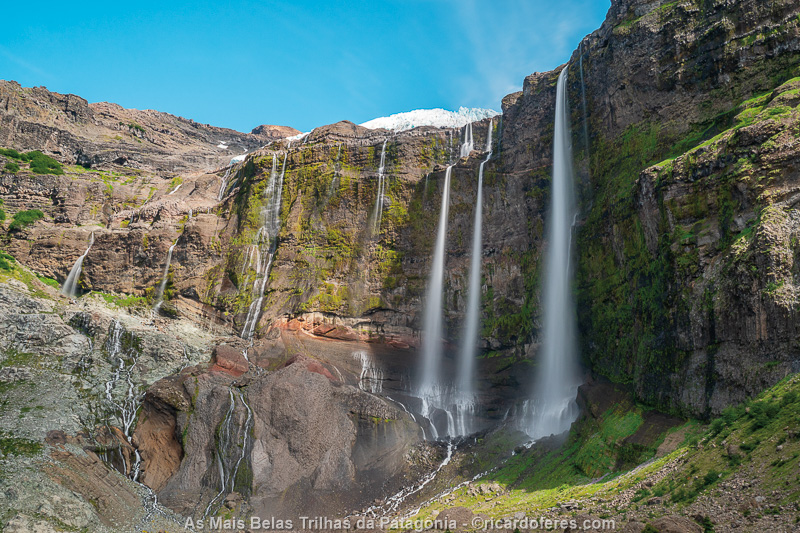
Waterfalls formed by the melting of Castaño Overo Glacier.This is one of the 150 photos of the book The Most Beautiful Trails of Patagonia, click to see it.
There was only the driver in the van, me and another customer, who asked me:
-Did you see what is happening in China?
-I didn’t see anything, I’ve been in the mountains for days, without communication.
-They are closing entire cities because of a virus, madness.
-Oh, okay.
I didn’t even care about this and thought “China is far from Patagonia and it should be media sensationalism again”. I wish what I thought was true and we didn’t have to go through this damn COVID-19 pandemic!
In the city, I took the bus but the only way to pay was with the bus card, which I didn’t have. An Argentine saw that I didn’t have a card, paid for my ticket and, very kindly, refused to let me pay him in cash.
From 01/31 to 02/05 the weather was cloudy, so I stayed in the city editing photos, writing, eating empanadas, alfajores (I went to four stores and bought several, to compare them), I took clothes the laundry, I cut my hair , I picked up my boots at the shoemaker and even went to a barbecue at Matías’ hotel, one of the Argentines I met during the hike. By the way, what an amazing barbecue!
On the 06th I went again to the mountains, anxious to complete the photos of Bariloche. Now, the chosen trail is called Travesía 4 Refugios and is as impressive as Colonia Suiza-Pampa Linda.
The first day is the easiest, going from the parking lot of Cerro Catedral to Refugio Frey, in front of Laguna Toncek. This is the only shelter/camp where you need to book in advance but, as I went on a weekday, the park rangers said it would be no problems. And it would be, if the shelter administrator hadn’t said that I couldn’t stay. Instead of leaving, I walked up to Frey Tower to take some photos and returned to the shelter at 6:00 pm, seeing that there were many vacancies, but when I asked, the grumpy woman said that it is “quite full”. I didn’t care and went to choose a place for my tent, when another shelter employee came to tell me, hidden from her boss, that there were vacancies and that there would be no problem staying there. Better this way…
As in every night, I woke up at dawn to look at the sky and, this time, it was full of stars and with the moonlit showing the lake and the mountains. I went out to take pictures and took the photo that would later become the cover of the book The Most Beautiful Trails of Patagonia. The sunrise was also amazing, with the sun painting the steep mountains of Cerro Catedral orange and giving us the energy to start the second day of hiking, this one much more demanding than the first.
Book cover photographed at te Refugio Frey camping area.
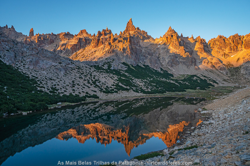
Dawn at Frey shelter. This is one of the 150 photos of the book The Most Beautiful Trails of Patagonia, click to see it.
The second day is also short but the climbs are quite steep, always walking on rocks that often slide a little and make you lose ground. The whole day was sunny, with blue skies and beautiful views of the mountains, ending with an incredible view to Laguna Jakob.
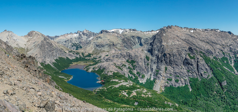
Laguna Jakob and the shelter. This is one of the 150 photos of the book The Most Beautiful Trails of Patagonia, click to see it.
The third day (02/08/2020) had the only really dangerous section of the Bariloche trails, with a small climb shortly after leaving Laguna Jakob. It’s not a difficult climb, and maybe more like a scramble, but it’s in a very exposed area. One slip and, if you don’t die, you’ll be seriously injured. I took a good look, evaluated the way forward and missed the first attempt, stopping at a point where it would not be possible to climb any further. Going down was tense, since the backpack alters the center of gravity too much and the hiking boots are terrible for climbing, but as I’m writing here, you already know that everything went well. The second attempt was the good one, the chosen path did not present much difficulty and soon I was safe again.
The whole day had steep ascents and descents, but with a waterfall before the final climb to Laguna Negra, where Refugio Italia is located. If you’re recognizing that name, you’ve realized I’ve been here before. This is because Laguna Negra is part of Colonia Suiza-Pampa Linda hike, making it possible to connect the two hikes. As I had already photographed the other crossing, the next day I followed the normal path of Travesía de los Refugios and went to Refugio Lopez. Because it was close to the end of the hike, I decided not to sleep there and go straight to Bariloche, ending one of the destinations in the book.
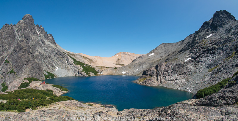
Laguna Negra and Refugio Italia. This is one of the 150 photos of the book The Most Beautiful Trails of Patagonia, click to see it.
10 to 20/02/2020 - Villarrica National Park (Chile)
I left Bariloche and, on the way to the Villarrica National Park, is the Lanín volcano, the highest point of this region, with 3,776 m (12,388 ft) of altitude. I would love to climb it, but with a window of good weather approaching, I decided to head to Villarrica to finish the job.
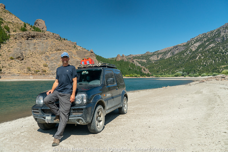
In Patagonia, the landscapes are incredible even for those who don’t hike
The Villarrica Traverse extends from east to west and, if I did it from end to end, it would finish it very far from the car, so I decided to walk for 2 or 3 days and come back to get the car, doing the same on the other side of the Park .
At the east entrance, the only place I found to leave the car and equipment was at Cabañas Puesco, about 6 km (3.7 mi) from the beginning of the trail. The chalet is simple but pleasant and is next to a beautiful river, which unfortunately I could not enjoy as I had to pack the equipment to start the trail the next morning.
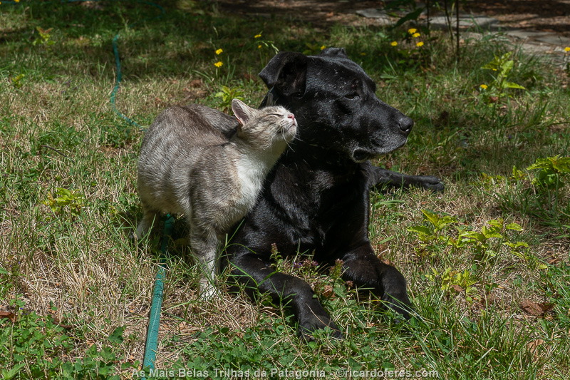
I love staying in a place with dogs and cats.
After a sleepless night, Tito, son of the owner of the chalet and park ranger at Villarrica, drove me to the park with my own car, and left it at Cabanas Puesco, so I could go to the mountains without worrying about equipment that I wasn’t using and was in the car.
The trail starts through a forest with large trees and lots of flowers, almost always going up until you reach Laguna Avutardas, where I found half a dozen people waking up. I photographed the lagoon and continued on towards Laguna Azul, but before that I did good pictures of the volcanoes and Laguna Blanca, with some clouds already.
Campers on the shore of Avutardas Lagoon.
One of the many lava fields of Villarrica Traverse. This is one of the 150 photos of the book The Most Beautiful Trails of Patagonia, click to see it.
After a while that I pitched the tent, a woman arrived alone and I went to talk to her; she’s French, lives in Canada and is called Fanny. Friendly, we stayed talking for a long time, until I went up the hill to photograph the sunset.
Sunset at Azul Lagoon and the French woman’s tent.This is one of the 150 photos of the book The Most Beautiful Trails of Patagonia, click to see it.
On the second day of the hike, I woke up at dawn to photograph the stars, but it was cloudy, so I went back to sleep. I woke up again at 05:30 to photograph the sunrise, but it was raining and it stayed like that until 11:00, when some blue sky started to appear and I went to the lookout. But my hope was short-lived and I returned after just 1 km (0.6 mi) of walking, as the sky got totally cloudy.
I spent the afternoon reading and watching movies, until Alex, a nice 21-year-old American, arrived, then we stayed talking and, a while later, Justin, another American, but 24 years old, arrived.
Around 18:00 a couple of Brazilians arrived with a daughter who had just turned one year old, we talked a lot and then I found out that they had just moved to Barequeçaba, a beach 3 km (1.8 mi) from my house, an amazing coincidence!
I also met a Chilean couple and he told me about many trails, being a good connoisseur of Patagonia. Today I did no walks or pictures, but I chatted a lot.
The dawn of the second night had -3 ºC (26 ºF) and I was a little cold. I took some photos of Lanín volcano at sunrise, had breakfast and went on to photograph the Villarrica volcano with the Laguna Azul. Until I had the proper light, I kept reading and hoping the weather didn’t close at all.
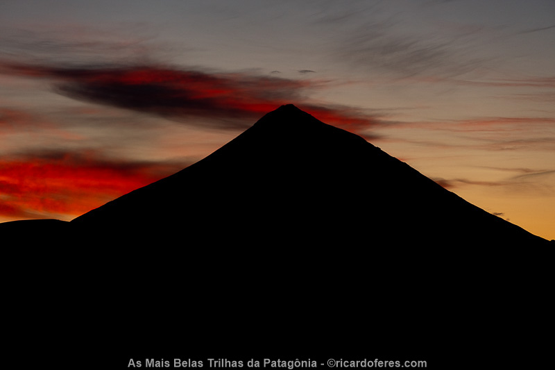
Silhouette of the Lanín volcano at dawn. This is one of the 150 photos of the book The Most Beautiful Trails of Patagonia, click to see it.
I followed a little further towards Villarrica and then I decided to start the way back to my car, leaving the remaining stretch to photograph from the other entrance to the National Park.
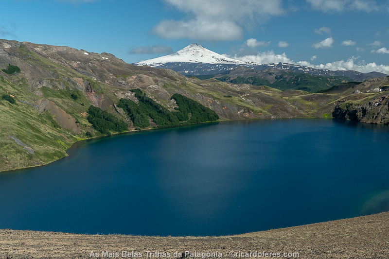
Azul lagoon and Villarricao volcano in the background.
When I tryied to check the path on the GPS, I saw that it had fallen and I quickly returned to find it, but it was already with the Brazilians, who found it beside the trail.
When I arrived at Laguna Avutardas, the Chilean told me more about some trails and, afterwards, I stayed chatting with Justin, who is a geologist but is thinking of working with nature photography.
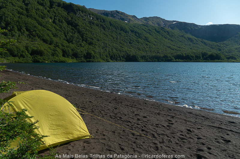
My tent at Avutardas lagoon.
As in every dawn, I woke up to look at the sky and, this time, it was beautiful, so I did some pictures of the lagoon with the stars.
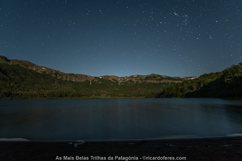
Stars and Avutardas lagoon.
As the sunrise didn’t seem special, I decided to stay in the tent a little longer, but I ended up sleeping for two hours! Alright, today I had just a walk back to the car and I deserved some extra rest.
When I got to the road, I started walking in the direction of Cabanãs but, with no shoulder, I saw that no car would stop to give me a ride, so I walked in the opposite direction, to the parking lot of a lookout point. There, after about 20 minutes, I got a ride with a friendly Chilean couple and their little daughter.
Around 17:30, the Brazilian couple arrived and we chatted while having lunch. Then I went to the chalet to work on the computer and fell asleep at my usual time, 10:00 pm.
On the February 15th, I hit the road to Pucón, which was smooth, but in the city I got stuck in traffic jams and, in the city of Villarrica, where I booked the Airbnb, it was even worse.
Speaking of Airbnb, this room I rented is way, way worse than the ad. I’m glad I only booked two nights so I could look elsewhere.
I spent the rest of the day using the computer.
The whole morning of the 16th I spent looking for accommodations and editing photos, until at 2:00 pm Alejandro left and I had no internet, since the “wifi” advertised on Airbnb is just his cell phone routed, so there is only internet when he is at home and, even so, it works very poorly.
Afternoon spent watching movies, shows and researching the National Park.
I had breakfast at 7 and left with Alejandro still sleeping, but first I took some photos and videos to prove the problems of the house, in case he denies it after I make the comment on Airbnb. Phew, I got rid of that place and luckily my new room was in a much nicer house with other nice guests.
I went to Pucón in the morning and got permission from Conaf to go up Villarrica alone. I walked around the city and along the lakeside, did some shopping and then went to the computer to plan the next few days.
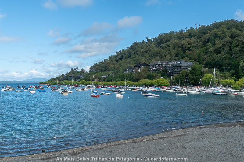
Villarrica lake, in the beautiful city of Pucón.
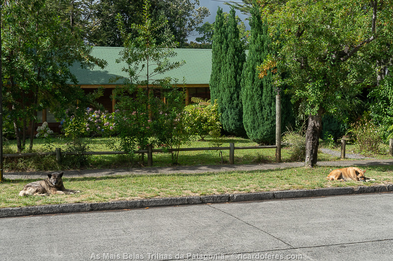
In Chile there are many stray dogs, almost always very well taken care of.
The 18th was a day to photograph the west side of the crossing, which is the last stretch I needed to finish the book. I divided this stretch into two parts, as there are two accesses by car. I took beautiful pictures of Villarrica steaming off, the araucaria forest, a glacier and also a beautiful woodpecker.

Male black carpenter with approximately 40 cm.
Despite not being part of the Traverse, on the 19th I tried to go up Villarrica, as I got permission to go up without a local guide. But the weather got worse and the wind was expected to be very strong, so I got back to the car even before starting to climb and took advantage of the free afternoon to rest and sunbathe, since far from the volcano, there weren’t many clouds.
Speaking of sunbathing, a Chilean yoga teacher that I met at the Airbnb invited me to go to a lake that is in a land of a friend of hers. When we arrived, the lake was ours alone and I started to photograph it, when she says:
-Can you take pictures of me in yoga poses?
-Yes sure.
-Can I do it with no clothes?
-If you insist…

El León lake
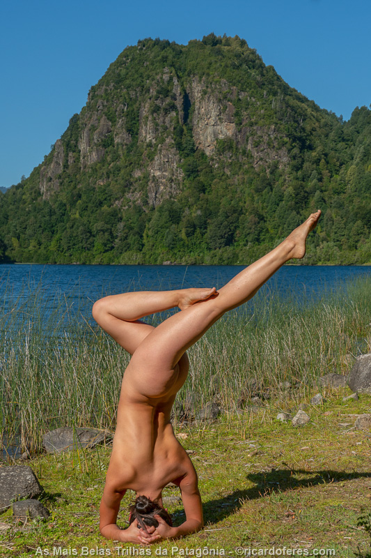
The yoga teacher and her amazing body control.
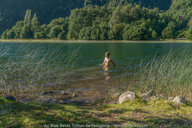
Now I’m on vacation and I deserve to sunbathe and swim.
I don’t know if she had seen my photos from the Nude and Nature Project, but I know it’s amazing to photograph a woman with so beautiful body control.
On the way back, we stopped to eat blackberries at various points, enjoying the fact that the trees were full.
I woke up at 04:00 of the 20th and left shortly after 05:00 for the National Park, to take the last photos. I went to the third entrance and started walking in the opposite direction of what I did two days ago. The trail is beautiful, but a little monotonous and, for the first time, I decided to listen to podcasts while walking. After 12 km (7.4 mi) one way, I arrived at the point where I had been two days ago and returned smiling to the car, very happy for having completed the job, after 5 months on the road.
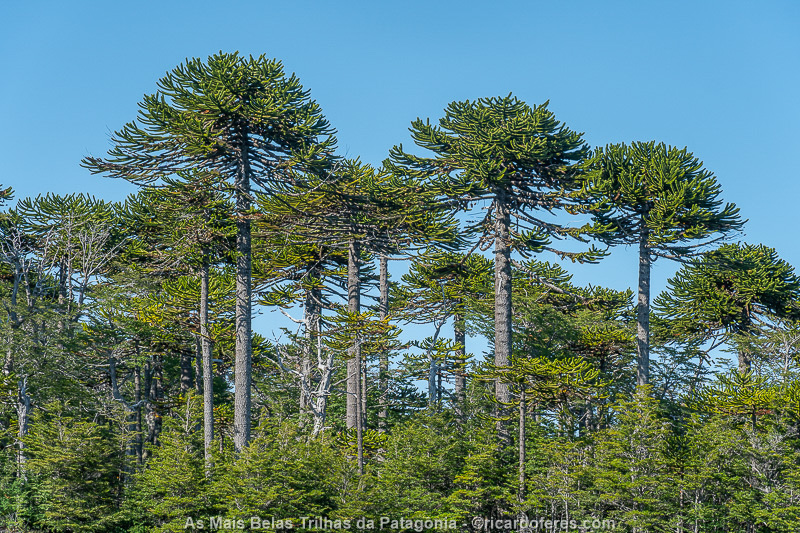
Araucarias in the Villarrica National Park.
I edited the photos, made a backup and was ready to leave work behind, now with everything safe.
21 to 23/02/2020 - Valle Las Trancas (Chile)
I left Villarrica on the mid-morning of the 21st and headed to Valle Las Trancas, a small village just 7 km (4 mi) from Nevados de Chillán ski resort. As it is summer, there is no snow, but I came anyway because I have a friend who lives here and the region is very beautiful.
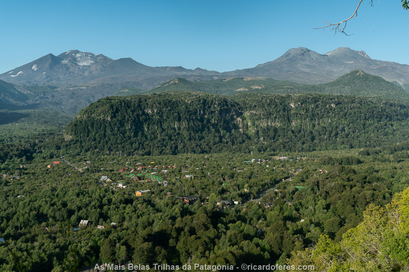
Valle Las Trancas
When she got off work, we ate ice cream and went for a walk in the valley, before having a delicious trout dinner. How good it is to eat 10 times a day and without having to carry the food on my back!
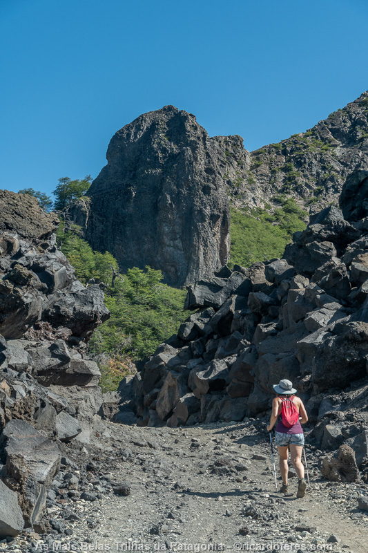
Nicole in Valle Las Trancas
After a typical Chilean breakfast (pan con palta = bread with avocado) we went for a short hike. We had a salad and delicious bread for lunch and, for dessert, a blueberry cheesecake.
In the afternoon we went to a friend’s house to use the pool and I played with a very cute Bernese.
Dog…
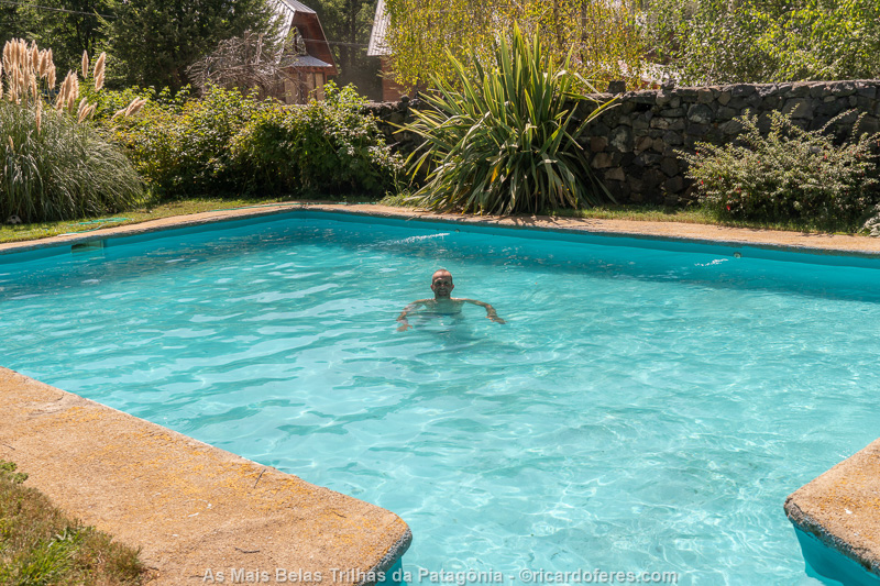
and pool, well deserved rest!
We had dinner again with salad with onion and herb bread and, for dessert, kuchen (cake). As you can see, my main activity right now is eating.
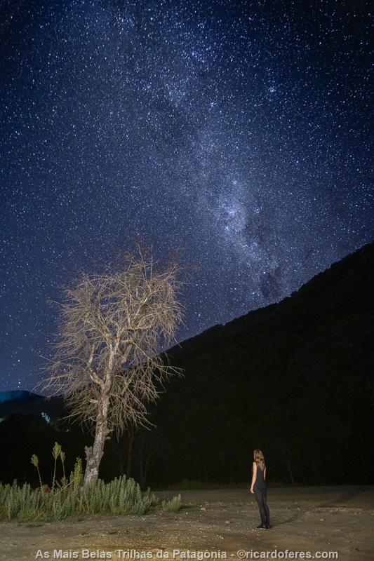
After dinner, we took advantage of the cloudless sky for some photos.
On the 23rd I hiked with Nicole and a friend to Huemul lagoon, a 10 km walk with a good ascent. The lake is beautiful and it was great to go for a swim, but the fact is that, after everything I’ve seen in the past few months, it’s hard to be impressed by lakes and mountains.
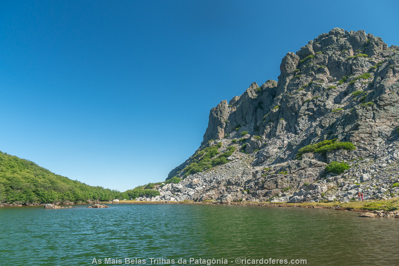
El Huemul lagoon

When I saw this photo, I was scared, I don’t think I’ve ever been so skinny and, at that moment, I had already been eating a lot for about 10 days, so I had already regained a little weight.
24/02 to 01/03/2020 - Viña del Mar and Santiago
Early in the morning of the 24th, when Nicole went to work, I left for Viña del Mar to visit a friend I met on my first trip to Torres del Paine, in 2011.
As his wife is working in Santiago, I went with Alfonso and a friend of his to have dinner at the Italian restaurant Fellini, where I ate a delicous octopus, I recommend it!
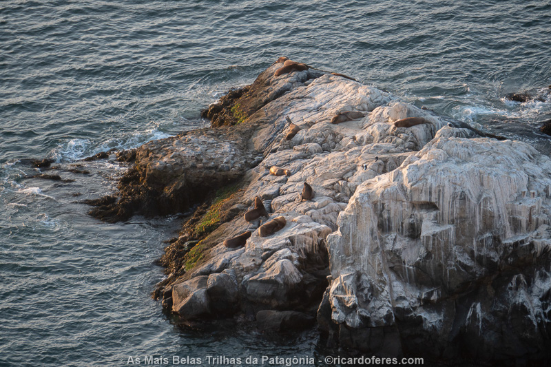
Seals in Vina del Mar.
I spent the 25th working on the computer, to have the following days free. In the late afternoon, I went to the pool to get some sun and read.
Afterwards, I photographed an incredible sunset and we ate hamburgers in the apartment.
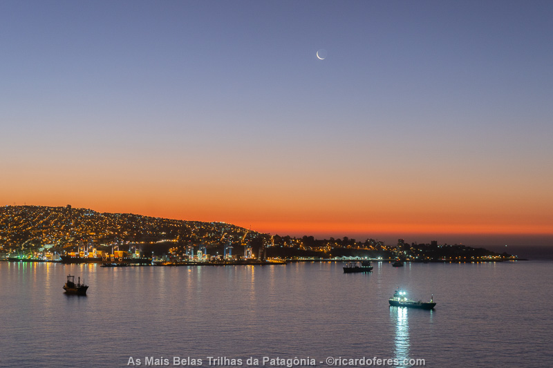
Sunset behind Valparaiso, seen from Viña del Mar.
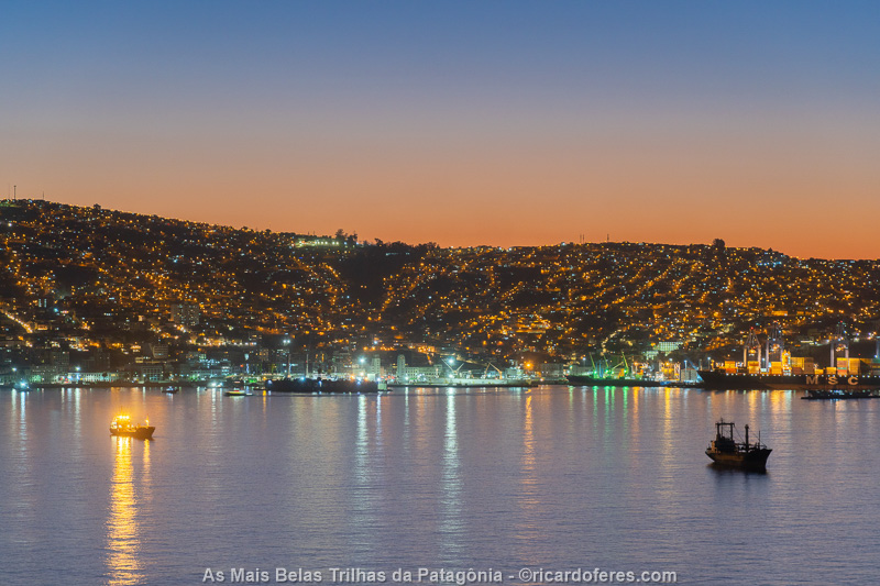
Sunset behind Valparaiso, seen from Viña del Mar.
Instead of reading and sunbathing by the pool, on the 26th I went to Reñaca beach, the most famous in the area. Afterwards, I went to my favorite ice cream shop in Chile, called Emporio La Rosa, and I recommend you do the same when you go to Chile.
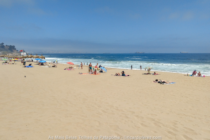
Reñaca beach
At night, we had sushi at Bar Hollywood, which, in addition to having good food, is full of beautiful women.
27/02/2020 – I spent the morning walking in Valparaiso and had lunch with Alfonso and his partner. I had a very good charquican, which is a mixture of potatoes, meat, corn and a few other things.
28/02/2020 – I spent the morning looking for Couchsurfing in Mendoza and washing clothes, but in the afternoon I had a much more important task: buying alfajores! I went to Sausalito, on Alfonso’s recommendation, and bought almost all the flavors. Several are very good, but the marzipan one is without a doubt the best alfajor I’ve ever had.
Camila, Alfonso’s wife, arrived in Viña that afternoon, so we had a pisco sour in the apartment and then went to the excellent restaurant El Imperio Peruano.
29/02/2020 – Breakfast was great, with dulce de leche pancakes made by Alfonso, and lunch was outstanding! It was definitely the best meal of the entire trip, and also the most expensive. As we were on our way to Santiago for a birthday, we stopped at Macerado Winery, where I had octopus (first course) and lamb (second course), in addition to starters and dessert, of course. Each dish came with a wine or sparkling wine made by themselves, all of which were great.
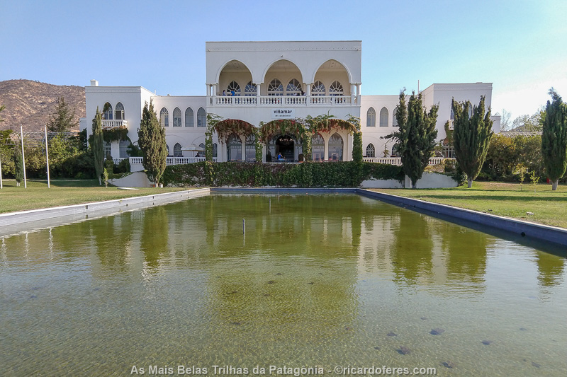
Macerado Winery.
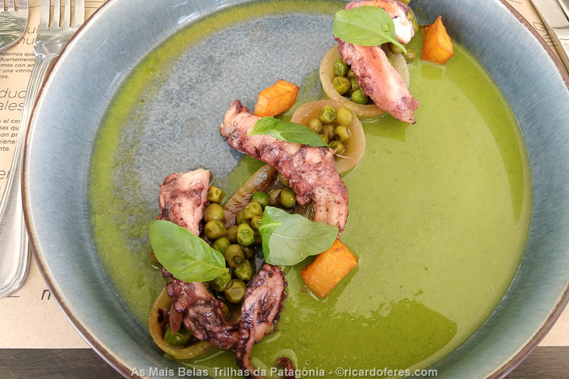
Lunch at Macerado Winery.
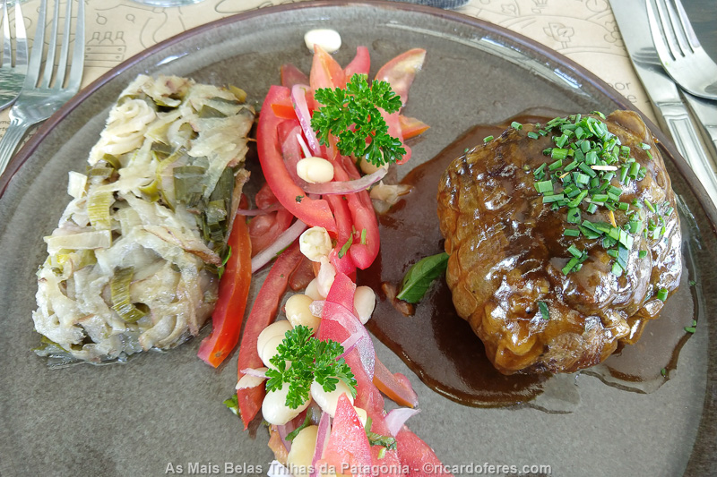
Lunch at Macerado Winery.
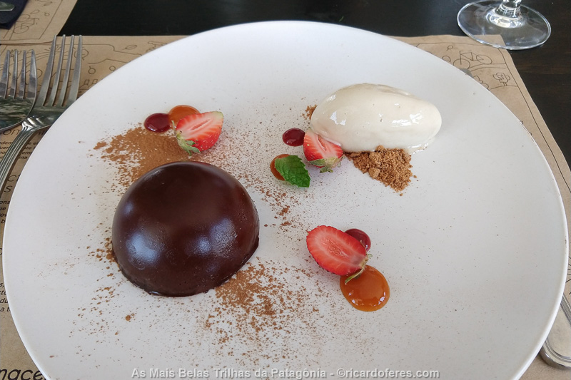
Lunch at Macerado Winery.
In the evening we went to the bvirthday party, which had a lot of good food and drink. Felipe and Carolina, whom I met on a previous trip, were also at the party and, at first, it was kind of fun, but when the music got louder and people started dancing, I regretted having gone, I still haven’t gotten so used to noisy environments after the season of tranquility and silence in the mountains.
01/03/2020 – In the morning, I walked in Santiago with Alfonso and saw the damage caused by the protests, it’s sad to see such a beautiful city with so much graffiti.
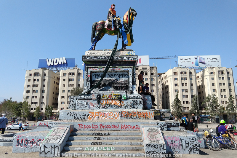
Some of the many graffiti made in the various protests.
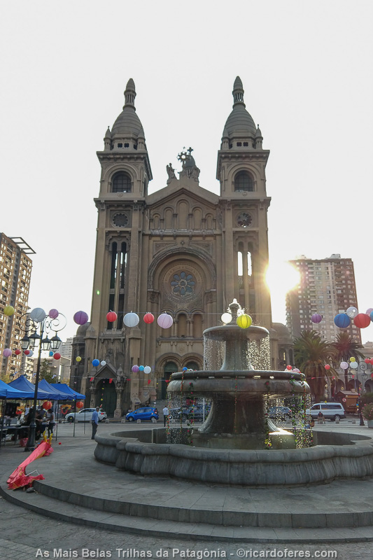
Santiago
In the afternoon, I went with Alfonso, Camila and a couple of their friends to a park in the mountains, where we did a barbecue. At night, Alfonso and I went back to Viña and Camila stayed in Santiago to work for another week.
02 to 19/03/2020 - Mendoza, Santa Fé, Novo Hamburgo, Florianópolis and São Sebastião
02/03/2020 – When Alfonso left to work, I said goodbye to him and Flopi (their dog) and, finally, to Chile, as I crossed the Andes back home.
The road to Mendoza is beautiful, but even so, I stopped a few times to take pictures, enjoying the view while driving.
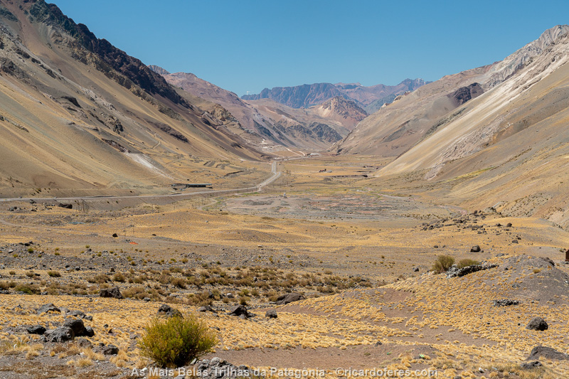
Road that crosses the Andes towards Mendoza.
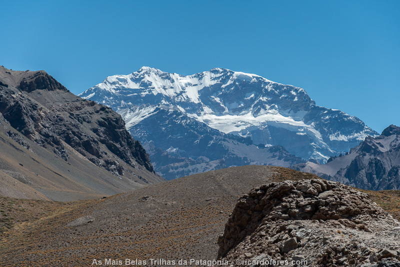
Aconcagua, the highest mountain in the Americas.
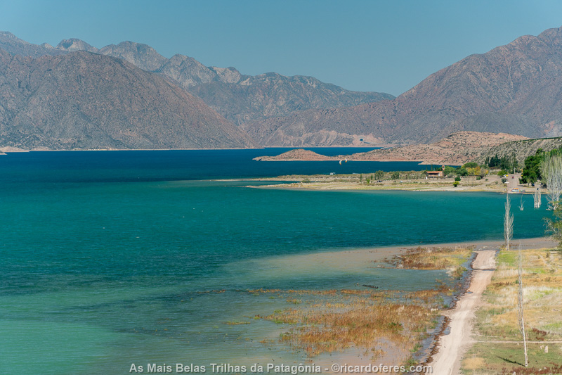
Potrerillos Dam.
In Mendoza, I had dinner at a steakhouse that had been highly recommended, but compared to the Brazilian ones, it wasn’t good, what was a surprise, as the meat in Argentina is usually very good.
03/03/2020 – Mendoza is a beautiful city, but I decided to go home, I’ll get to know it better on another trip. However, before leaving, a stop at the market to stock up on alfajores and Malbec wines, which are typical of Mendoza.
After about 14 hours of driving, I arrived in Santa Fe and went straight to the hotel.
04/03/2020 – Today I stayed 15 hours driving, with stops just to fuel up, eat, use the bathroom and at the police stations, and they were always honest, nothing of that legend that Argentine policemen extort Brazilian drivers. By the way, in none of the trips I made through Argentina, I had problems. Usually they just ask where I’m from and where I’m going, or they ask for documents and have a little chat. At the first stop, the policeman asked if the car “drinks” a lot, if I was working, if I was sleeping in a hotel, if I like Argentina… Anyway, he wanted to talk.
In the early evening, I arrived in Novo Hamburgo, near Porto Alegre, where my sister lives with her husband, son and dogs.
05 to 12/03/2020 – I spent one week in Novo Hamburgo and the first lunch was meat, rice, beans, potatoes and salad, what a delight it is to have Brazilian homemade food again. On the other days there was barbecue, Japanese and a bunch of other foods that I was missing.
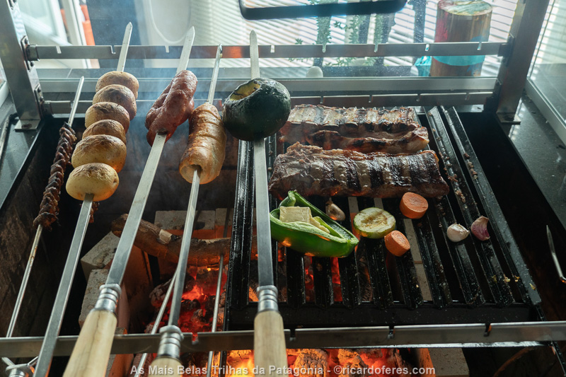
Food and more food, my main thought.
But I didn’t just spend the week eating, I also played a lot with my nephew, with the dogs, I visited friends from São Paulo who now live in Porto Alegre, I sunbathed by the pool and, from time to time, I even worked on the computer.

13 to 19/03/2020 – On the afternoon of the 13th, I left Rio Grande do Sul and went to Florianópolis to visit my cousins. In addition to talking about the trip, of course we went out to eat a few times and, on one of the days, I went with a friend to the beautiful Gravatá beach.
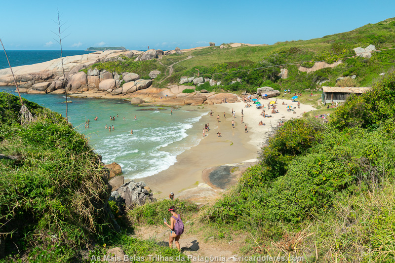
Gravatá beach.
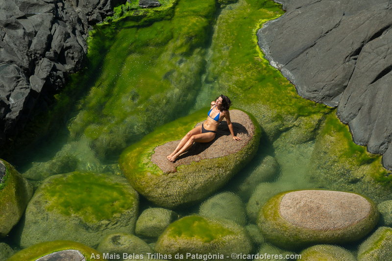
Tamiris at Gravatá.
On the 18th, I went with Lydia and Nilo, her boyfriend, to a waterfall to do a Nude and Nature Project photo shoot with Lydia. We did great photos, but at the end of the afternoon, already at my cousin’s house, I was feeling very tired. I went to bed early and, at dawn, I woke up drenched in sweat. It was at that moment that I thought “I have this COVID-19!”.

Lydia
Lydia
Until then, the information about COVID were very conflicting, there was no lockdown and a few days ago the WHO had classified COVID as a pandemic. So, I decided to cancel my visit to Curitiba, waited for the sunrise and went straight to São Sebastião, to isolate myself in my own house. It is interesting to mention that I spent more than 5 months eating poorly, sleeping little, doing strenuous exercises and, during all this time, I didn’t even have a slight cold, that is, my immunity was fine… Until that COVID came along, which anticipated my return and spoiled the end of the trip, but compared to what happened to hundreds of thousands of Brazilians, I was lucky.