360° photos in São Sebastião, Brazil
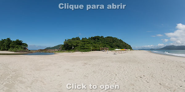
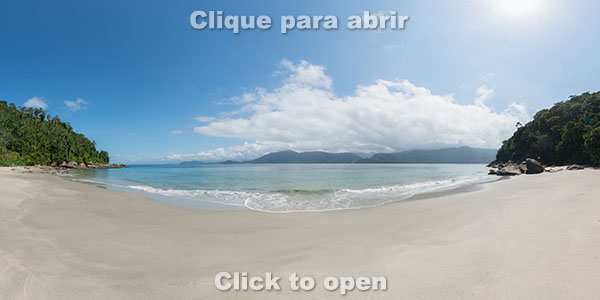
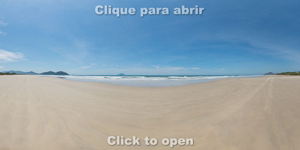
Located on the southeastern Brazilian coast, the municipality of São Sebastião has beaches for all tastes along more than 100 km of coastline. Here are some of the most popular beaches in the state of São Paulo, such as Maresias and Camburi, and also others with the same beauty (or even more) but much more peaceful, ideal for those who want tranquility. And speaking of tranquility, several of the 59 beaches in Sebastian can only be reached by trail or sea, thus guaranteeing few people on its sands even in the peak of summer.
In addition to beaches, you can also see interactive 360-degree photos of all the waterfalls, lookouts, the historic center and also of many islands, including the beautiful Alcatrazes Archipelago, one of the best spots in Brazil for bird watching and scuba diving.
The photos are interactive because they can be rotated in all directions, including being able to zoom in or out. In many photos you will see the ‘360’ symbol, which if clicked opens another photo, while the ‘i’ symbol serves to open information about that location.
Welcome to one of the most beautiful stretches of the entire Brazilian coastline!
History
São Sebastião was one of the first Portuguese settlements on the Brazilian coast and is the oldest city on the north coast of São Paulo State. This is because the island of São Sebastião, which today houses the municipality of Ilhabela, provided an excellent natural shelter for Portuguese ships.
The island and the municipality got this name because it was on January 20, the day of São Sebastião, that the expedition of Américo Vespúcio arrived in the region, in 1502. Until the Portuguese invasion, the region was inhabited by the Tupinambá Indians to the north and Tupiniquins to the south.
In 1636 the village was dismembered from the municipality of Santos and elevated to the status of a village, and in 1875 it was elevated to the status of a city, but the abolition of slavery and the opening of a railroad linking São Paulo to Santos caused the city’s economy to decline, since the farms lost manpower and the port of Santos gained importance.
The economy grew again with the installation of Petrobrás port in the 1960s and, at the end of the 1970s, with Rio-Santos road, São Sebastião became increasingly popular for tourism.
Currently the estimated population is 84,000 people (IBGE 2016), but in the high season the municipality receives thousands of tourists on its long coastline.
You can open the photos using the map or the thumbnails below the map.
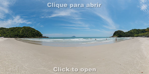
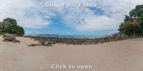
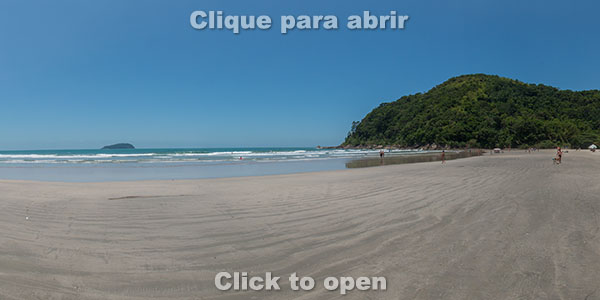
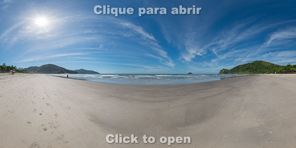
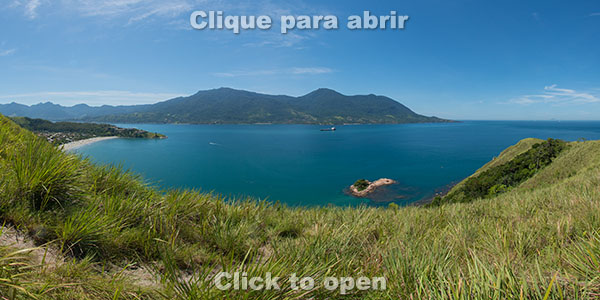
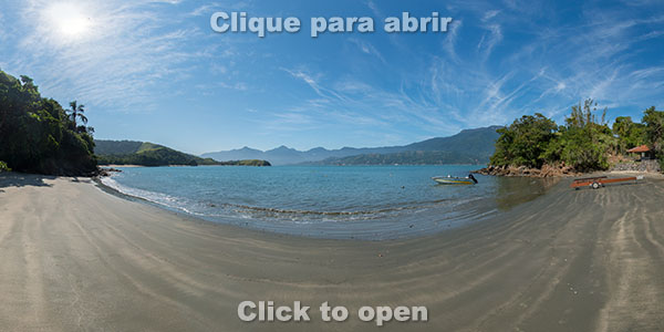
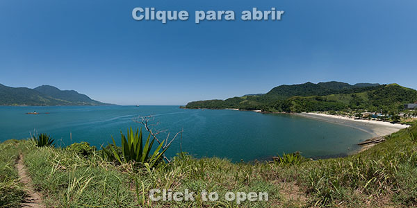
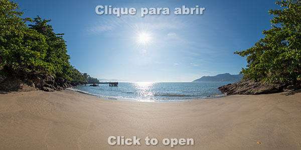
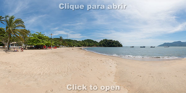
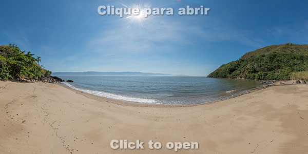
Boraceia Beach
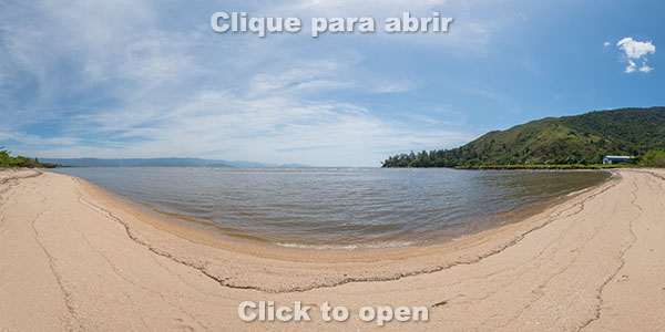
Boraceia (Bora Bora) Beach
Brava de Boraceia Beach
Brava de Boraceia Centro Beach
Brava de Boraceia Leste Beach
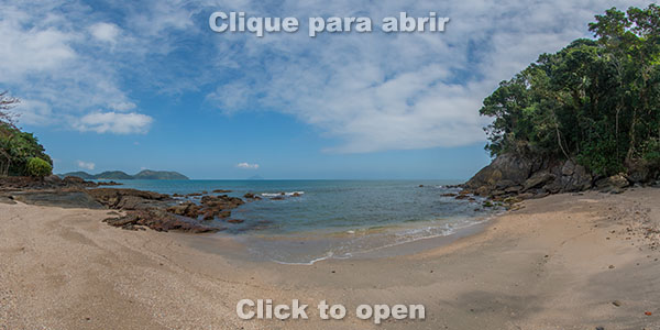
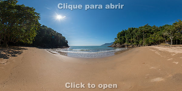
Jureia Beach
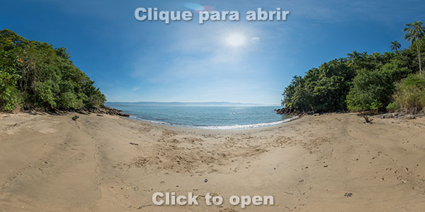
Engenho Beach
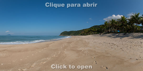
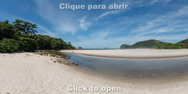
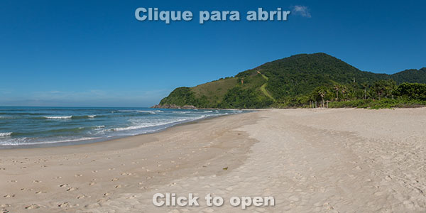
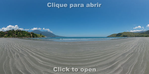
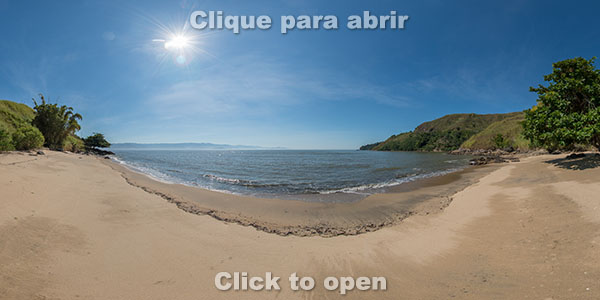
Barra do Una Beach (right side)
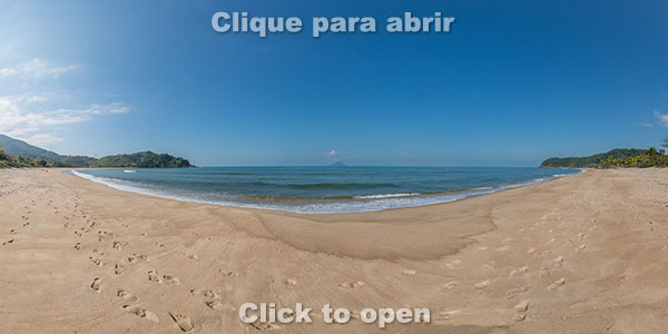
Barra do Una Beach (middle)
Barra do Una Beach (left side)
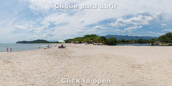
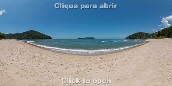
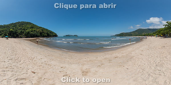
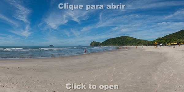
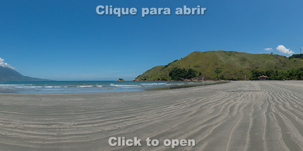
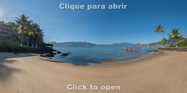
Juquehy Beach (right side)
Juquehy Beach (middle)
Juquehy Beach (left side)
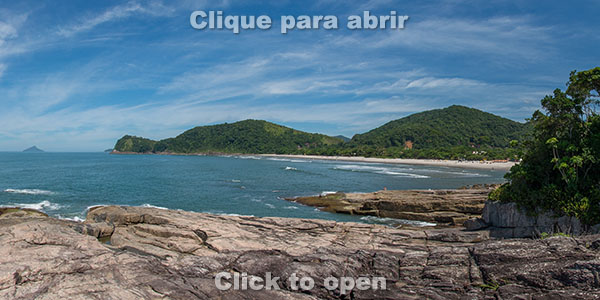
Prainha de Juquehy Beach
Prainha das Pedras Beach
Preta Escondida Beach
Preta da Costa Sul Beach
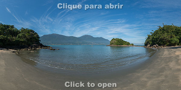
de Fora Beach in As Ilhas
Grande Beach in As Ilhas
Barra do Sahy Beach (right side)
Barra do Sahy Beach (left side)
Ilha dos Gatos Beach
Baleia Beach (right side)
Baleia Beach (middle)
Baleia Beach (left side)
Camburi Beach (right side)
Camburi Beach (middle)
Camburi Beach (left side)
Camburizinho Beach and Camburi River
Camburizinho Beach
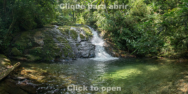
Sertão do Cacau Waterfall - First fall
Sertão do Cacau Waterfall - Second fall
Sertão do Cacau Waterfall - Third fall
Boiçucanga Beach (right side)
Boiçucanga Beach (left side)
Brava de Boiçucanga Oeste Beach
Brava de Boiçucanga Beach
Hidromassagem Waterfall
Camburi Peninsula
Pedra Lisa Waterfall
Samambaiaçu Waterfall
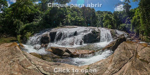
Serpente Waterfall
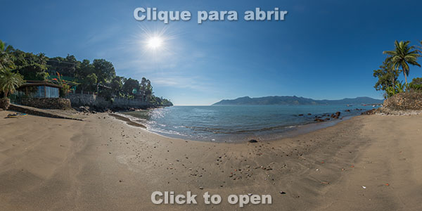
Maresias Beach (right side)
Maresias Beach (middle/right)
Maresias Beach (middle/left)
Maresias Beach (left side)
Saco Beach
Paúba Beach
Santiago Beach (right side)
Santiago Beach (left side)
Toque-Toque Pequeno Beach (right side)
Toque-Toque Pequeno Beach (left side)
Calhetas Beach
Calhetas Peninsula
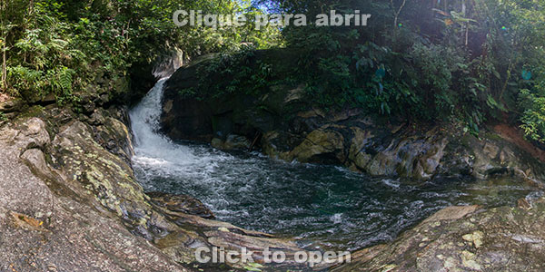
Calhetas Waterfall
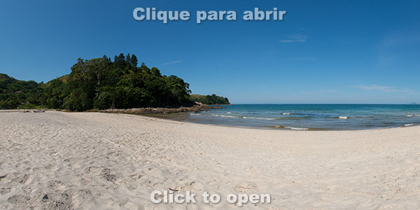
Toque-Toque Grande Beach
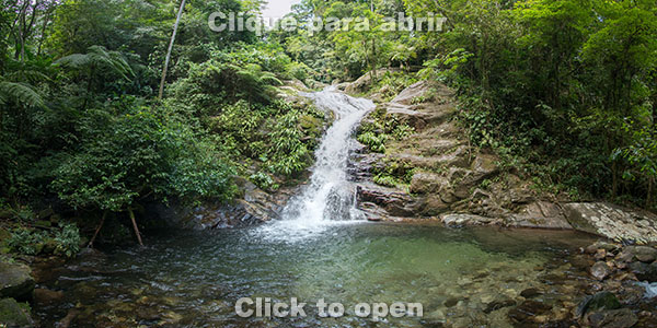
Toque-Toque Waterfall
Pindá/Sonho Beach
Guaecá Beach (right side)
Praia de Guaecá (meio)
Guaecá Beach (left side)
Guaecá Hill
Barequeçaba Beach (right side)
Barequeçaba Beach (left side)
Segredo Beach
Cabelo Gordo Beach
Pitangueiras Beach
Zimbros Beach
Grande Beach
Praia Grande Hill
Preta do Centro Beach
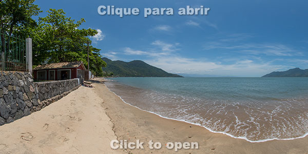
Araçá Beach
Araçá Mangrove
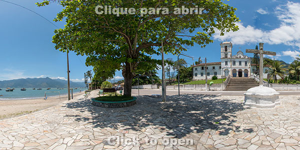
Mother Church, Historic Center
Rua da Praia Street, Historic Center
Rua da Praia Beach and Square, Historic Center
Deck at Rua da Praia
Porto Grande Beach
Porto Grande Hill
Deserta Beach
Pontal da Cruz Beach
Arrastão Beach
Portal da Olaria Beach
São Francisco
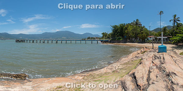
Figueira Beach and Pier
Fortunato Beach
Água Rasa Beach
Belveder Beach
Sepituba Beach
Cigarras Beach
Arpoador Beach
Praia de Fora Beach
Ventura Beach
Barro Beach
Kauffman Beach
Gaivotas Beach
Enseada Beach
Alcatrazes aerial - Portinho
Alcatrazes aérea - Saco do Funil
Alcatrazes - Nest
Alcatrazes underwater - Jardim de Corais
Alcatrazes aerial - Paredão de Fora
Reserva Waterfall
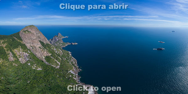
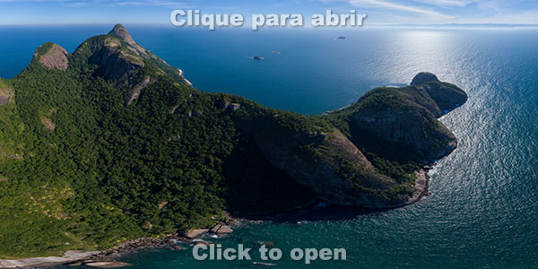
Alcatrazes Archipelago

Underwater photo of Jardim de Corais (Coral Garden), one of the dive sites within the Alcatrazes Archipelago Wildlife Refuge
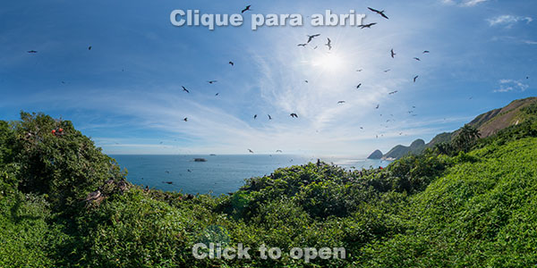
Nest of frigatebirds in the Alcatrazes Archipelago Wildlife Refuge
Aerial image above the area known as Portinho and the frigatebirds nest
Aerial image above Saco do Funil, an area that was used by the Brazilian Navy for shooting practice
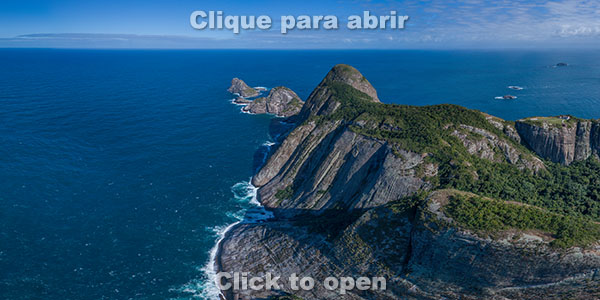
Aerial view of Paredão de Fora
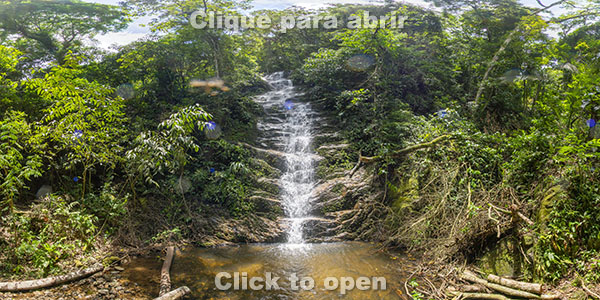
Waterfalls

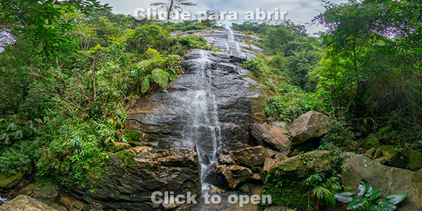
The Samambaiaçu Waterfall is on the Ribeirão do Itu Trail, in Boiçucanga. It has 4 km (2.5 mi) round trip from Cícero Parking, with an elevation of 140 meters (460 ft).
The Pedra Lisa Waterfall is on the Ribeirão do Itu Trail, in Boiçucanga. It has 2.5 km (1.5 mi) round trip from Cícero Parking, on an almost flat trail.
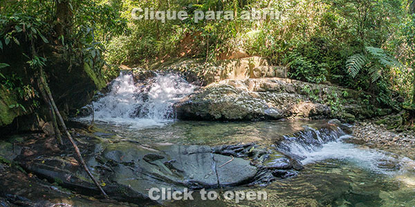
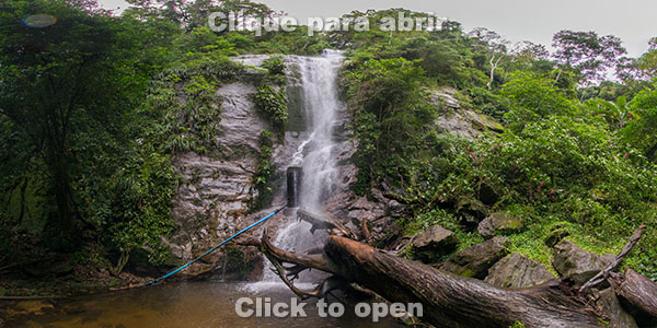
The Hidromassagem Waterfall is on the Ribeirão do Itu Trail, in Boiçucanga. It has 2 km (1.2 mi) round trip from Cícero Parking, on an almost flat trail.
The Serpente Waterfall is on the Ribeirão do Itu Trail, in Boiçucanga. It has 4.5 km (2.8 mi) round trip from Cícero Parking, with an elevation of 160 meters.
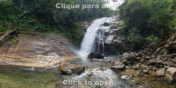
The Sertão do Cacau trail leads to three waterfalls, in a total distance of approximately 4 km (2.5 mi) round trip. This is the first fall.
The Sertão do Cacau trail leads to three waterfalls, in a total distance of approximately 4 km (2.5 mi) round trip. This is the second fall.
The Sertão do Cacau trail leads to three waterfalls, in a total distance of approximately 4 km (2.5 mi) round trip. This is the third fall.
The Toque-Toque Waterfall is 16 km away from the historic center of São Sebastião towards Bertioga and the waterfall can be seen from the road.
The Calhetas Waterfall is inside the Calhetas Condominium. Access can only be done on foot from Rio-Santos, with a distance of 800 m (0.5 mi) round trip counting from the bus stop and 40 meters (130 ft) of elevation. There is no parking and cars parked on the side of the road are often ticketed.
Cachoeira da Reserva. Queda d’água em uma trilha que se inicia dentro do condomínio Reserve du Moulin.
Beaches in islands

Gatos Island has only one small beach and is 3 km (1.8 mi) from Baleia Beach.
Grande Beach in As Ilhas, which is 2 km away from Preta da Costa Sul Beach and Barra do Sahy Beach.
Fora Beach in As Ilhas, which is 2 km away from Preta da Costa Sul Beach and Barra do Sahy Beach.
South Coast
The photos below are sorted by who travels along Rio-Santos from Bertioga to São Sebastião center (south to north)
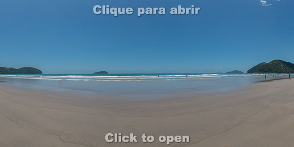
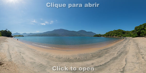
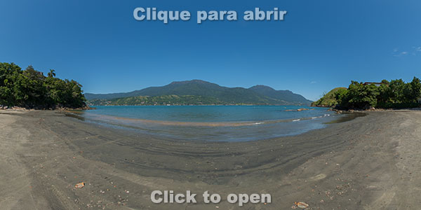
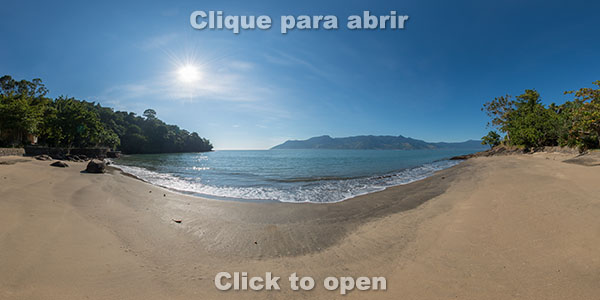
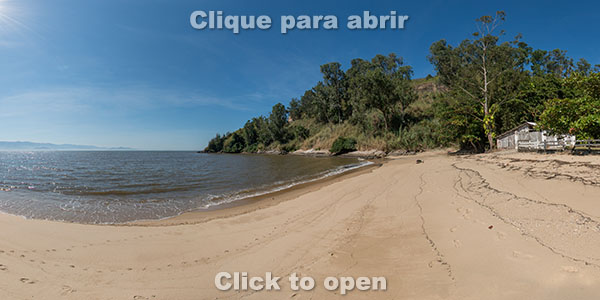
Boraceia (middle)
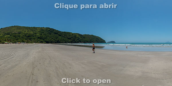
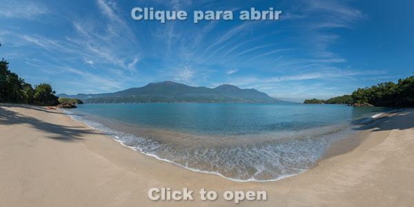
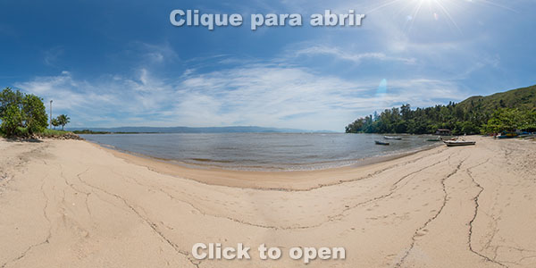
Boraceia (left side). The left side of Boraceia is usually called Bora Bora.
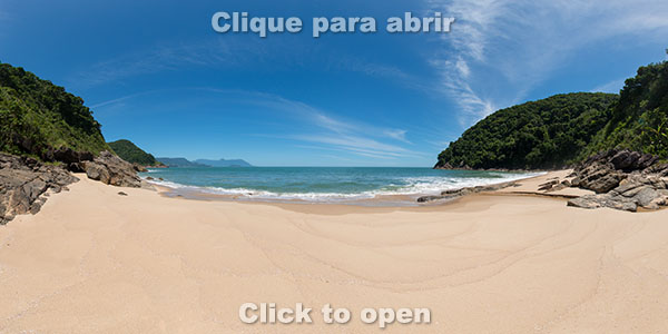
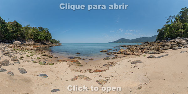
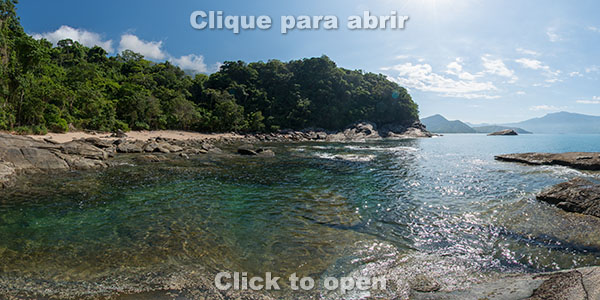
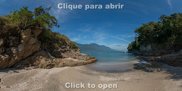
Brava de Boraceia (Beach 1). There are 3 very small beaches with the same name and they are reached via a 1.5 km (1 mi) trail round trip and accumulated elevation of 150 meters (500 ft). The beginning of the trail is in the left side of Boraceia.
Brava de Boraceia (Beach 2). This is the second beach and it is reached by a short walk on the rocks, beginning on the Beach 1

Brava de Boraceia (Beach 3). This is the third beach and it is reached by a short walk on the rocks, beginning on the Beach 2
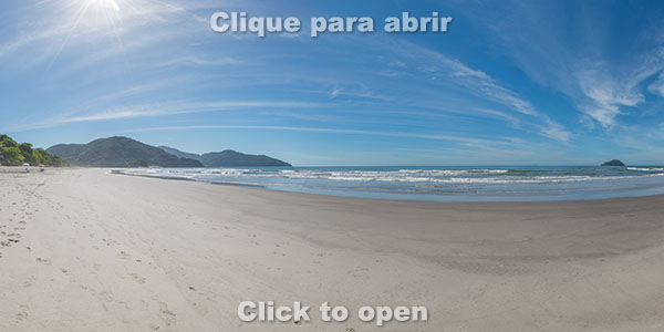
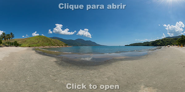
Jureia
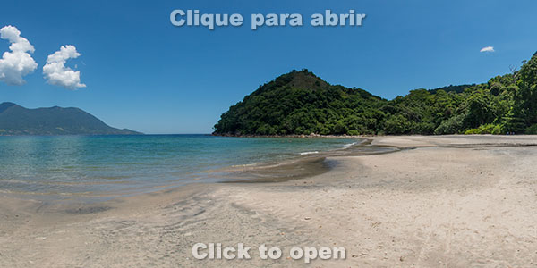
Engenho
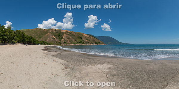
Barra do Una (right side)
Barra do Una (middle)
Barra do Una (left side)
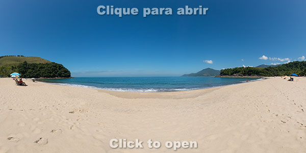
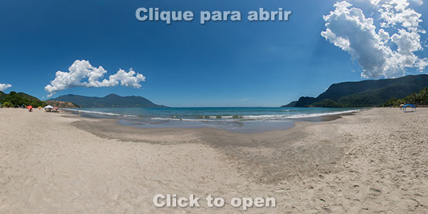
Juquehy (right side)
Juquehy (middle)
Juquehy (left side)

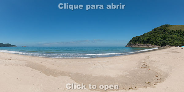
Preta da Costa Sul
Preta Escondida. Reached walking on the rocks beginning on the right side of Preta da Costa Sul Beach.
Prainha das Pedras. Reached walking on the rocks beginning on the right side of Preta Escondida Beach.
Prainha de Juquehy. Reached walking on the rocks beginning on the right side of Prainha das Pedras.
Barra do Sahy (right side)
Barra do Sahy (left side)
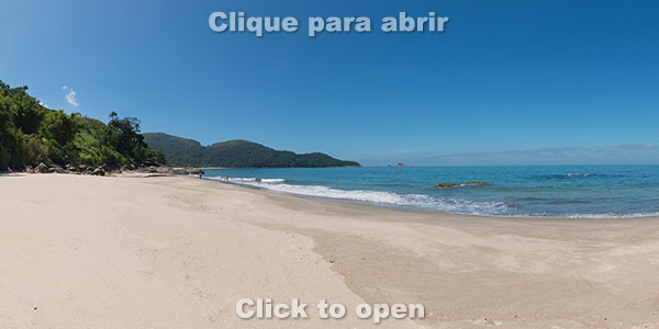
Baleia (right side)
Baleia (middle)
Baleia (left side)
Camburi (right side)
Camburi (middle)
Camburi (left side)
Camburi Peninsula
Camburizinho and Camburi River
Camburizinho
Boiçucanga (right side)
Boiçucanga (left side)
Brava de Boiçucanga. Reached by a 6 km (3.7 mi) trail round trip and an accumulated elevation of 500 meters (1,640 ft), starting from the last parking lot.
Brava de Boiçucanga Oeste. Reached by the right shore of Brava de Boiçucanga Beach.
Maresias (right side)

Maresias (middle to the right)
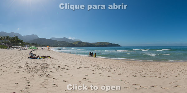
Maresias (middle to the left)
Maresias (left side)
Saco
Pauba
Santiago (right side)
Santiago (left side)
Toque-Toque Pequeno (right side)
Toque-Toque Pequeno (left side)
Calhetas. As it is in a closed condominium, it can be reahed only be foot from Rio-Santos, with a 1.1 km (0.7 mi) round trip counting from the bus stop, with elevation of 60 meters. There is no parking and cars parked on the side of the road are often ticketed.

Calhetas Peninsula. As it is in a closed condominium, it can be reahed only be foot from Rio-Santos, with a 1.1 km (0.7 mi) round trip counting from the bus stop, with elevation of 60 meters. There is no parking and cars parked on the side of the road are often ticketed.
Toque-Toque Grande
Pindá / Sonho. It is reached by a 15-minute trail starting in the right side of Guaecá Beach.
Guaecá (right side)
Guaecá (middle)
Guaecá (left side)
Guaecá Hill
Barequeçaba (right side)
Barequeçaba (left side)
Segredo. Beach with access only by sea, in its bay it is prohibited fishing and spearfishing, as here it is the Center for Marine Biology of USP (University of São Paulo).
Cabelo Gordo. Beach reached only by sea or walking on the rocks starting at the right side of Pitangueiras.
Pitangueiras
Zimbros. Beach reached only by sea or walking on the rocks starting at the left side of Pitangueiras or the right side of Praia Grande.
Grande. Only beach in São Sebastião where vans and tour buses are allowed to park. It has sports courts, restrooms , grills and is also accessible to wheelchairs.
Praia Grande Hill. Access by a short trail from Praia Grande.
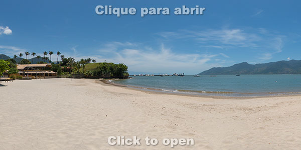
Preta do Centro
Araçá Beach. Reached by a short trail starting at Nazaré Street.
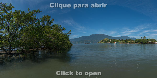
Araçá Mangrove. Por estar muito próximo ao centro e ser vizinho do terminal de cargas do porto de São Sebastião, o Mangue do Araçá corre risco de ser destruído para a ampliação do porto, apesar de sua rica biodiversidade e grande importância como um berçário para fauna marinha. Em seu entorno há algumas praias, mas que não são boas para banho pelo fundo de lodo e por ser um local muito raso, ficando seco na maré baixa.
Historic Center
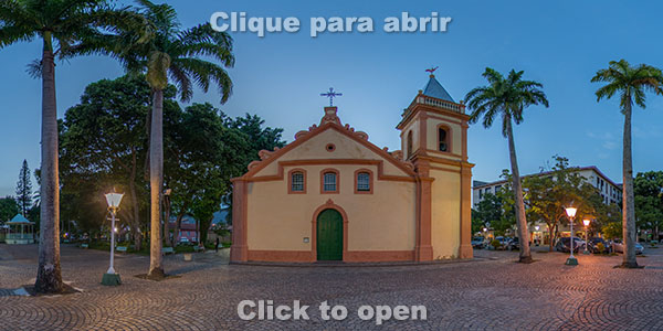
Mother Church. Built in the 17th century, the city began to grow around the old chapel, which over the years has been renovated several times.
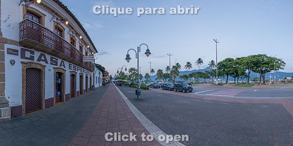
Rua da Praia. Casa Esperança is one of the best preserved buildings from the colonial period in São Sebastião. It was built in the 18th century and is a good example of colonial architecture and it has a ceiling painted in 1838.
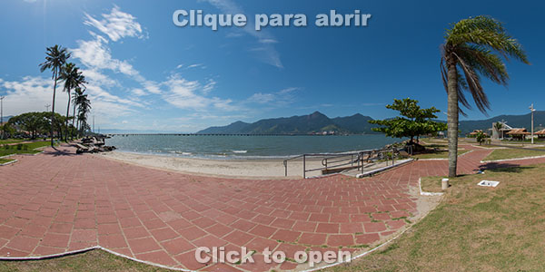
Beach and square at Rua da Praia
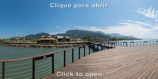
Deck at Rua da Praia
North Coast
The photos are sorted in the route of who travels from the center of São Sebastião to Caraguatatuba (south to north).
Porto Grande
Porto Grande Hill. Reached by a 1.5 km (1 mi) walk round trip and 100 meters (330 ft) of elevation.
Deserta
Pontal da Cruz
Arrastão
Portal da Olaria
São Francisco. Traditional fishermen’s neighborhood that houses the Nossa Senhora do Amparo Franciscan Convent, built in 1637.
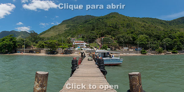
Figueira
Fortunato. Beach reached only by sea, between Figueira and Cigarras.
Água Rasa. Beach reached only by sea, between Figueira and Cigarras.
Belveder. Beach reached only by sea, between Figueira and Cigarras.
Sepituba. Beach reached only by sea, between Figueira and Cigarras.
Cigarras
Arpoador. Beach reached only by sea, to the left side of Cigarras.
Praia de Fora. Beach reached only by sea, to the left side of Cigarras.
Ventura. Beach reached only by sea, to the right side of Enseada.
Barro. Beach reached only by sea, to the right side of Enseada.
Kauffman. Beach reached by a trail that starts at Enseada. The beaches inside Enseada Bay are not good for swimming as this is a very shallow area with a muddy bottom, making it a great place for fishing.
Gaivotas. The beaches inside Enseada Bay are not good for swimming as this is a very shallow area with a muddy bottom, making it a great place for fishing.
Enseada Beach. The beaches inside Enseada Bay are not good for swimming as this is a very shallow area with a muddy bottom, making it a great place for fishing.
Get to know the photo book "The Most Beautiful Trails of Patagonia"
Torres del Paine, El Chaltén, Bariloche, Ushuaia, Villarrica, Cerro Castillo, Dientes de Navarino and Parque Patagonia